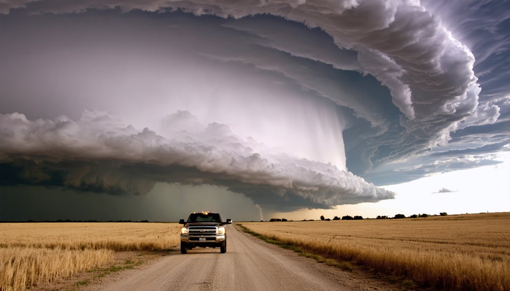
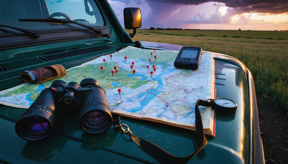
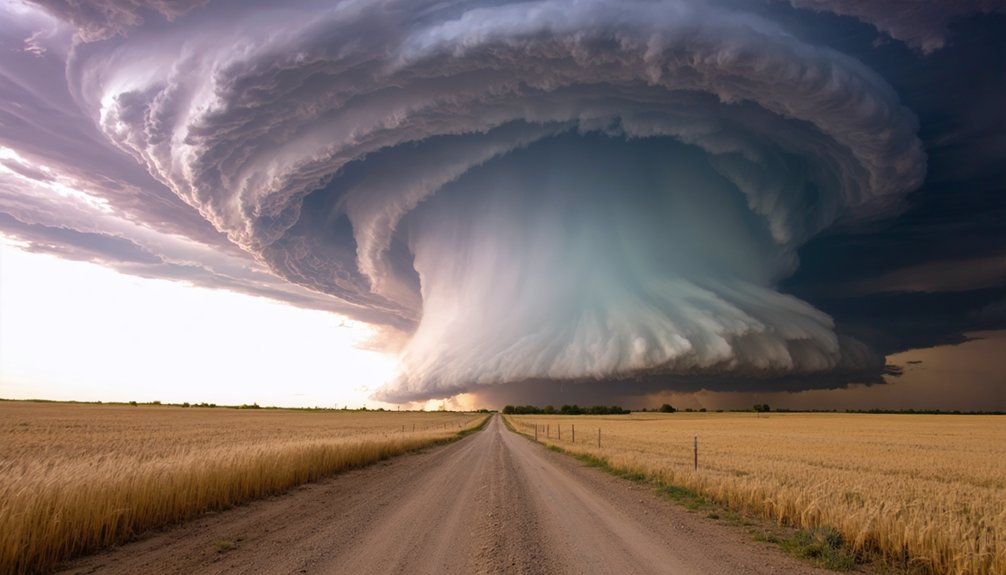
When you chase storms in Iowa and Minnesota, you’re operating inside one of North America’s most active mesocyclone corridors. Gulf moisture collides with dry continental air masses, generating CAPE values exceeding 2,000 J/kg and producing structurally violent supercells. Wind shear tilts horizontal rotation into mesocyclones, while hook echo signatures confirm tornado potential. Northwest Iowa and southwest Minnesota carry the highest risk. Master the timing, target zones, and field protocols, and you’ll understand exactly why experienced chasers keep returning to this region.
Key Takeaways
- Iowa and Minnesota sit at a meteorological crossroads where warm, humid air and wind shear create ideal supercell and tornado development conditions.
- The primary high-risk chase corridor spans northwest Iowa, southeast South Dakota, and southwest Minnesota, with a 60% chase probability in Iowa.
- Peak storm development occurs between 2:00–5:00 p.m. CT, with tornado watches potentially extending until 10:00–11:00 p.m. CT.
- Supercell formation requires wind shear, CAPE values exceeding 2,000 J/kg, and lift mechanisms like drylines to trigger dangerous rotating storms.
- Chasers should monitor SPC updates, identify shelters in advance, and position ahead of the dryline by 3:00 p.m. CT.
What Makes Iowa and Minnesota Prime Storm Chasing Territory?
Iowa and Minnesota sit at a meteorological crossroads where warm, humid air masses collide with strengthening atmospheric winds, creating the wind shear necessary to produce rotating supercell thunderstorms.
Iowa and Minnesota’s clashing air masses forge the perfect wind shear recipe for spawning deadly rotating supercells.
This convergence zone consistently generates conditions supporting dangerous tornado development, particularly across northwest Iowa and southwest Minnesota.
You’re operating in a region where the Storm Prediction Center assigns a 60% chase probability to Iowa alone.
Weather radar data confirms supercells as the primary storm structures driving intense tornado and large hail production across the Northern Plains.
Storm tracking in this corridor reveals rapid intensification patterns, especially near communities like Felton and the Mahnomen area in northwestern Minnesota.
Understanding these atmospheric mechanics lets you position strategically before storms escalate into life-threatening events.
Wind Shear, Instability, and the Conditions That Produce Supercells
When you’re analyzing supercell potential, wind shear is your primary rotation driver—strong directional and speed shear tilts a storm’s updraft, allowing it to develop the mesocyclone structure that produces violent tornadoes.
Unstable air, characterized by warm, humid surface moisture colliding with strengthening upper-level winds, fuels the explosive vertical development that sustains these rotating systems across the Northern Plains.
You’ll find that Iowa and Minnesota consistently deliver both ingredients simultaneously, creating an environment where supercells don’t just form—they intensify rapidly and track long distances.
Wind Shear Drives Rotation
Strong wind shear is the engine behind rotating storms, and it’s what separates a garden-variety thunderstorm from a dangerous supercell. When wind speed and direction change rapidly with altitude, the atmosphere tilts horizontal spin into vertical rotation. You’re watching physics work in real time.
Three shear-driven mechanisms define supercell development:
- Directional shear shifts winds from southerly at the surface to westerly aloft, forcing storm-scale rotation.
- Speed shear accelerates hail formation processes by driving updrafts that suspend ice particles through multiple growth cycles.
- Veering winds counteract microburst patterns by organizing outflow, preventing the storm from undercutting itself.
Track these variables on your skew-T charts before positioning. The data tells you exactly where rotation intensifies and where dangerous supercells will anchor across the Northern Plains.
Unstable Air Fuels Storms
Unstable air acts as the fuel that wind shear ignites, and without it, even the strongest rotational dynamics produce nothing. When you’re tracking supercells across Iowa and Minnesota, you’re reading atmospheric instability in real time through cloud formation signatures and precipitation patterns that reveal exactly how much energy the environment holds.
CAPE values exceeding 2,000 J/kg indicate explosive potential. You’ll watch towering cumulus explode upward within minutes, shifting into organized supercell structures when wind shear layers align correctly.
Precipitation patterns shift as updrafts strengthen, with hail cores migrating rearward and forward flanks expanding rapidly.
The Northern Plains on May 20, 2024 demonstrated this precisely. Warm, humid surface air collided with elevated instability layers, producing the rotating storm architecture that makes this corridor one of North America’s most analytically demanding chase environments.
Supercell Formation Explained
Supercells don’t just happen—they require a precise combination of ingredients working simultaneously, and instability alone won’t produce one.
You need three critical atmospheric components aligning:
- Wind shear — directional and speed changes with altitude that create horizontal rotation, later tilted vertical by updrafts.
- Thermodynamic instability — steep temperature and moisture gradients driving explosive cloud formation and powerful vertical development.
- Lift mechanisms — boundaries, fronts, or drylines forcing air parcels past the level of free convection.
When these converge across northwest Iowa and southwest Minnesota, precipitation patterns shift dramatically—rainfall wraps around a strengthening mesocyclone, producing the classic hook echo signature.
That rotating updraft separates precipitation from the inflow region, sustaining the storm’s engine indefinitely and generating your most dangerous tornado-producing supercells.
High-Risk Target Zones in Iowa, Minnesota, and the Northern Plains
Forecasters have pinpointed northwest Iowa, southeast South Dakota, and southwest Minnesota as the primary high-risk corridor, where rapid storm intensification remains most likely. Your storm tracking operations should prioritize this zone, as meteorological jargon like “enhanced shear profiles” and “surface boundary convergence” directly translates to elevated tornado probability here.
Eastern Nebraska, northeast Kansas, and western Minnesota’s Ulin and Floam region represent secondary targets demanding your attention. Communities including Felton, Hitterdale, and the Mahnomen area carry specific monitoring requirements based on current supercell trajectories.
Iowa holds a 60% chase probability versus a combined 30% for Wisconsin and Minnesota. You’ll want to position strategically along Highway 59 corridors near White Earth, keeping Des Moines, Omaha, and Lincoln within your operational awareness window.
The Iowa and Minnesota Communities You Need to Watch Most Closely
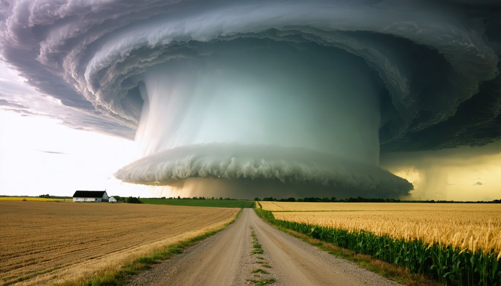
While Iowa commands the highest chase probability at 60%, specific communities across Iowa and Minnesota carry disproportionate risk based on current supercell trajectories and surface boundary positioning.
You’ll want to prioritize these high-exposure locations:
- Northwest Iowa corridor — urban infrastructure near Storm Lake and Spencer faces direct supercell intercept probability given boundary alignment.
- Felton, Mahnomen, and Hitterdale, Minnesota — wildlife disruption indicators and surface convergence signatures suggest tornadic activity threading through these rural corridors.
- White Earth and Highway 59 northeast of Austin — active tornado warnings already confirm storm-relative helicity values supporting violent rotation here.
Cross-reference these communities against real-time mesoscale analysis before committing your chase vector.
Supercell tracks shift fast, and your positioning window narrows considerably after 8:00 p.m. CT.
When Storms Fire: Afternoon vs. Evening Chase Windows in Iowa and Minnesota
As afternoon heating destabilizes the atmosphere across Iowa and Minnesota, you’ll likely see initial storm development between 2:00 and 5:00 p.m. CT, when surface instability peaks and supercell structures begin organizing along the dryline.
You need to track the evening window carefully, as sustained atmospheric instability through 10:00–11:00 p.m. CT—reflected in active Tornado Watches extending to those hours—keeps tornado threats elevated well after sunset.
Your positioning strategy must account for diminished visibility during evening chases, particularly across high-risk corridors near northwest Iowa and southwest Minnesota where rapid storm intensification remains likely.
Afternoon Storm Development Timing
Storm development timing across Iowa and Minnesota on May 20, 2024 splits into two distinct chase windows, and understanding which one maximizes your intercept probability is critical.
Afternoon satellite imagery reveals cloud formation clusters signaling early convective initiation across northwest Iowa between 2:00–4:00 p.m. CT.
Track these three afternoon indicators before committing to a chase position:
- Cumulus towers exceeding 30,000 feet on satellite imagery indicate rapid destabilization
- Surface dewpoints climbing above 65°F across your target zone confirm moisture availability
- Cloud formation boundaries along the dryline mark your highest-probability intercept corridor
Afternoon initiation typically favors northwest Iowa and southwest Minnesota, where instability peaks earliest.
Positioning yourself ahead of the dryline by 3:00 p.m. CT gives you maximum flexibility before storm mode evolves into the evening window.
Evening Chase Window Risks
Evening chase windows across Iowa and Minnesota introduce a fundamentally different risk profile than afternoon operations. Visibility drops sharply after sunset, compressing your storm tracking margins and eliminating critical visual reference points you relied on during daylight hours.
Rotating wall clouds become harder to confirm, and hail suppression from cooler nocturnal air can mask the intensity of developing supercells, creating a false sense of reduced threat.
Atmospheric instability remains sustained through evening hours, meaning violent tornadoes don’t require afternoon conditions to produce.
You’re operating with reduced escape route visibility while roads narrow toward rural terrain. Tornado Watch extensions through 10:00–11:00 p.m. CT confirm that threat windows don’t close at dusk.
Adjust your positioning early, maintain real-time radar contact, and never assume darkness equals diminished danger.
Tornado Watch or Warning: What You Actually Need to Do
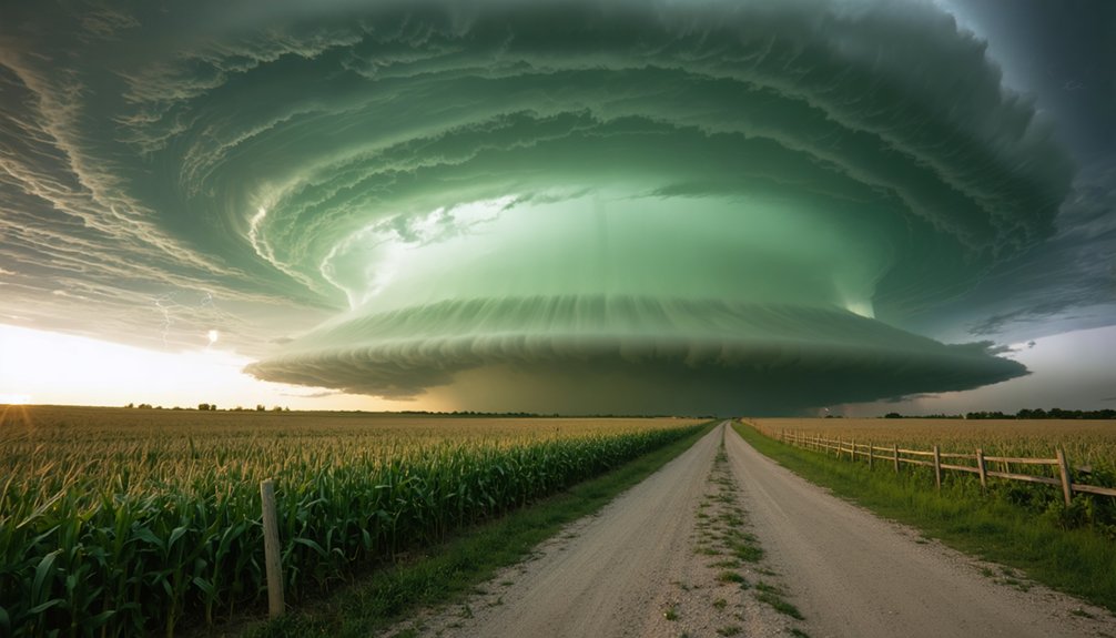
When a Tornado Watch drops for your area—like the current watch covering Nebraska, Iowa, and Kansas until 11:00 p.m. CT—your response protocol matters. A watch means conditions favor tornado development; a warning means rotation is confirmed or imminent.
Execute these steps immediately:
- Monitor the Storm Prediction Center’s updates and local NWS alerts continuously.
- Identify your shelter location in advance—interior rooms, lowest floor, away from windows.
- Track storm movement relative to Highway 59 corridors and White Earth proximity zones.
Unlike wildfire preparedness or urban flood risks, tornado response windows compress fast—sometimes under two minutes. Don’t wait for a warning to act.
When atmospheric instability sustains through evening hours, your situational awareness is your primary survival asset. Stay disciplined, stay mobile, stay informed.
Storm Chaser Safety: Field Protocols for the Northern Plains
Chasing supercells across northwest Iowa, southwest Minnesota, and southeast South Dakota demands structured field discipline—improvisation kills. You need storm spotter coordination locked in before wheels roll—establish radio frequencies, GPS check-ins, and designated escape routes mapped against storm motion vectors.
Chasing supercells demands structured field discipline—improvisation kills. Lock in spotter coordination before wheels ever roll.
Safety gear essentials aren’t optional: helmet, reinforced vehicle, first aid kit, and redundant communication devices including a handheld weather radio.
You should position your vehicle perpendicular to storm tracks, never north of a tornadic supercell in this region’s complex wind shear environment.
Monitor Highway 59 corridors and White Earth approach routes for rapid repositioning. If storm motion exceeds 40 mph northeast, disengage immediately—no footage justifies a compromised exit.
Discipline, situational awareness, and pre-planned contingencies separate effective chasers from casualties.
Frequently Asked Questions
What Equipment Do Experienced Storm Chasers Typically Carry During Northern Plains Expeditions?
You’ll carry GPS units, weather radios, dashcams, and mobile radar apps for storm safety. Prioritize equipment maintenance on your Doppler tools and communication devices to guarantee reliable, data-driven decisions during intense Northern Plains supercell pursuits.
How Do Storm Chasers Legally Navigate Road Closures During Active Tornado Emergencies?
“Rules exist for a reason” — you’ll legally navigate closures by following law enforcement directives, maintaining valid insurance coverage, adhering to strict safety protocols, and repositioning via alternate routes to sustain situational awareness without compromising emergency operations.
What Communication Systems Do Storm Chasers Use to Coordinate With Emergency Management Officials?
You’ll rely on satellite communication and ham radio networks to maintain emergency coordination with officials. These systems let you transmit real-time storm data, ensuring authorities receive critical field intelligence while you’re actively tracking supercells across the Northern Plains.
How Does Storm Chasing in Iowa Differ From Chasing in Tornado Alley States?
Iowa gives you a 60% chase probability! You’ll navigate compressed terrain with fewer road grids, demanding sharper tornado safety instincts. Weather photography opportunities emerge faster here than Tornado Alley’s open plains, requiring you to adapt your technical positioning strategies quickly.
What Certifications or Training Programs Exist Specifically for Northern Plains Storm Chasers?
You’ll find SKYWARN storm spotting training and NWS weather forecasting courses tailored for Northern Plains chasers. These programs equip you with data-driven skills to independently track supercells across Iowa’s and Minnesota’s unique atmospheric environments.
References
- https://www.youtube.com/watch?v=D93BaHmGKh8
- https://www.foxweather.com/live-news/live-updates-dangerous-severe-weather-outbreak-threatens-millions-with-strong-tornadoes-huge-hail
- https://www.youtube.com/watch?v=QSo9WdyT_fU
- https://www.youtube.com/watch?v=anc_COYuNhs
- https://www.youtube.com/watch?v=Rz4WC4SO4m4