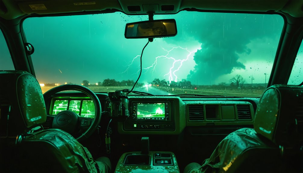
Compact drones outperform piloted aircraft in storm chasing because they combine disposable economics, onboard sensor precision, and autonomous flight capabilities that keep you out of hazardous conditions. You can deploy swarms from a vehicle trunk, capture pressure, temperature, humidity, and wind velocity directly onto onboard data cards, and access storm cores that radar can’t reach. The cost savings, safety advantages, and data density advantages go even deeper than they first appear.
Key Takeaways
- Compact drones outperform piloted aircraft in extreme storms, capturing pressure, temperature, humidity, and wind velocity directly inside inaccessible storm cores.
- Low unit costs and disposable designs make large-scale swarm deployments financially feasible without recovery expenses.
- Remote laptop-controlled operation keeps storm chasers safely distanced from hazardous environments while drones absorb all environmental risks.
- Onboard data cards preserve high-resolution atmospheric readings locally, ensuring data survives even if the drone does not.
- Swarming compact drones create dense atmospheric data meshes, extending tornado and hurricane warning windows toward one hour.
Why Do Compact Drones Outperform Piloted Aircraft in Storms?
When it comes to extreme storm environments, compact drones outperform piloted aircraft across several critical performance dimensions. You’re eliminating human exposure to lethal conditions while simultaneously gaining data accuracy that piloted missions can’t match.
Onboard sensors capture pressure, temperature, humidity, and wind velocity at ranges radar can’t penetrate, recording directly to data cards faster than long-range wireless transmission allows.
Storm safety improves dramatically when you deploy swarms of expendable UAS units instead of crewed aircraft. If a drone is lost, you’ve sacrificed minimal cost and zero lives.
You’re also gaining operational freedom — launching from a car trunk, coordinating hundreds of units via laptop, and penetrating storm systems that would ground or destroy any piloted aircraft operating in the same airspace.
How Much Does It Cost to Deploy Disposable Storm Drones?
When you budget for disposable storm drones, you’re working with unit costs low enough that losing a drone to a hurricane doesn’t represent a significant financial setback.
You can replace expensive piloted aircraft missions with compact UAS deployments at a fraction of the operational cost, freeing resources for broader geographic coverage.
Your deployment budget should account for sensor payload, onboard data storage, and FAA Part 107.205 waiver compliance, which collectively determine the true per-mission expenditure.
Disposable Drone Unit Costs
Deploying disposable storm drones carries a fraction of the cost associated with traditional piloted aircraft missions, making them a financially viable option for large-scale atmospheric research. You can deploy hundreds of units without the financial burden of recovery, since biodegradable material durability keeps construction economical while minimizing environmental impact. Battery longevity is engineered specifically for single-mission data capture, maximizing sensor output before terminal descent.
Key cost advantages include:
- Unit affordability – Low per-drone manufacturing costs allow mass deployment across wide storm systems.
- Eliminated recovery expenses – Disposable design removes retrieval logistics entirely.
- Reduced operational overhead – Laptop-commanded swarming replaces costly crewed aircraft operations.
You retain full data integrity since onboard cards record atmospheric readings independently of wireless transmission, ensuring mission success regardless of drone loss.
Deployment Budget Considerations
Budgeting for disposable storm drone deployment depends on several converging cost variables: unit manufacturing price, swarm scale, launch infrastructure, and FAA Part 107.205 waiver compliance overhead.
Drone manufacturing costs scale inversely with volume — larger swarm deployments reduce per-unit expense while improving weather modeling precision through aggregated atmospheric data. You’ll also need to factor in laptop-based launch systems, biodegradable material sourcing, and onboard sensor integration.
FAA waiver processing adds administrative overhead that you can’t ignore. However, replacing piloted reconnaissance aircraft with compact UAS dramatically cuts your operational expenditure.
You retain full data fidelity since onboard cards capture pressure, temperature, humidity, and wind velocity locally. Your total deployment budget stays lean while your forecasting capability expands — a measurable operational advantage without unnecessary financial exposure.
How Do Compact Drones Keep Storm Chasers Out of Danger?
When you deploy compact drones into active storm systems, you remove yourself entirely from the hazard zone, since remote operation handles all data collection without requiring your physical presence near tornado centers or hurricane-force winds.
You can launch these drones directly from your vehicle’s trunk, maintaining a safe operational distance while the UAS penetrates atmospheric conditions that would endanger any human chaser.
Because the drone absorbs all environmental risk, you replace the need for manned aircraft or on-foot storm tracking with a system that sacrifices hardware rather than lives.
Remote Operation Eliminates Danger
The greatest danger in storm chasing isn’t the storm itself—it’s proximity to it. Remote operation severs that link entirely, letting you deploy aerial surveillance assets while staying miles from the threat zone.
You command swarms via laptop, collect onboard sensor data, and run data analytics without entering hazardous airspace yourself.
Three operational advantages make this possible:
- Launch from vehicle trunks keeps you positioned safely outside tornado strike corridors
- Onboard data cards record pressure, humidity, and wind velocity without requiring live wireless exposure near lightning zones
- Mathematical flight models guide drones autonomously into storm cores, removing human judgment calls under dangerous conditions
You retain full analytical control. The drone absorbs the risk. That’s the operational freedom compact storm-chasing technology actually delivers.
Drones Replace Human Chasers
Remote operation keeps you out of the danger zone, but compact drones go further—they remove the need for human chasers altogether.
By deploying swarms of disposable UAS units, you’re collecting precise weather pattern data—pressure, temperature, wind velocity—without positioning a single person near active storm systems.
These drones ride wind currents deeper into hurricane structures, capturing storm intensity measurements that ground-based chasers can’t safely access.
Mathematical flight models guide each unit autonomously, eliminating human judgment calls under hazardous conditions.
Onboard data cards record faster than wireless transmission, ensuring high-quality readings even if the drone doesn’t survive.
You gain operational reach into marine reserves, volcano heat zones, and wildfire sites while staying completely removed from the threat.
That’s genuine freedom—maximum data, zero human risk.
Safe Launch From Vehicles
How far does compact drone tech push you from the threat zone? Launching from your vehicle trunk, you maintain safe distance while executing precise aerial reconnaissance inside active storm systems. You don’t enter the danger zone—your drone does.
Three operational advantages keep you protected:
- Trunk deployment positions you miles from tornado centers while sensors penetrate hazardous wind corridors.
- Data transmission via ten-mile range links delivers real-time pressure, temperature, and wind velocity directly to your laptop.
- Laptop-commanded swarming lets you coordinate hundreds of units without repositioning your vehicle.
This architecture eliminates unnecessary exposure. You retain full operational control, collect research-grade atmospheric data, and preserve your safety margin—all without compromising mission integrity or sensor accuracy inside turbulent weather systems.
What Do Sensors Inside Compact Storm Drones Actually Measure?
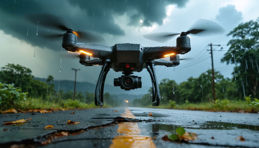
Packed into a frame no larger than your hand, compact storm drones carry sensors that measure four core atmospheric variables: pressure, temperature, humidity, and wind velocity. These readings reach depths inside hurricane and tornado systems that ground-based radar simply can’t access. You’re getting direct atmospheric sampling rather than interpolated estimates.
Sensor calibration determines whether that data holds up under scientific scrutiny. A poorly calibrated unit introduces measurement drift, corrupting the dataset entirely. Research-grade platforms prioritize data accuracy by running validated calibration protocols before each deployment, ensuring repeatable results across multiple units flying simultaneously.
Onboard data cards record faster than long-range wireless transmission, preserving high-resolution readings even if the drone doesn’t survive the mission. You get the data regardless of what the storm does to the hardware.
How Hundreds of Compact Drones Capture Hurricane Data
When a single drone captures one atmospheric snapshot, its value is limited—but scale that to hundreds of coordinated units, and you’re generating a data mesh dense enough to map an entire hurricane’s internal structure. Swarm deployment transforms storm tracking from isolated readings into all-encompassing atmospheric modeling.
Using laptop commands, you launch coordinated units that exploit aerial maneuvering strategies—riding wind currents rather than fighting them—to penetrate deeper storm layers. Each drone’s onboard data card records faster than wireless transmission allows.
From a laptop, coordinated drones ride wind currents inward, their onboard cards capturing what wireless transmission never could.
Three core advantages emerge from swarming:
- Aggregated pressure, temperature, and humidity readings across multiple GPS coordinates
- Simultaneous multi-altitude sampling that radar simply can’t replicate
- Redundant data collection ensuring no single drone loss compromises mission integrity
You’re not just chasing hurricanes—you’re systematically dissecting them.
Can Compact Drones Really Extend Tornado Warning Times?
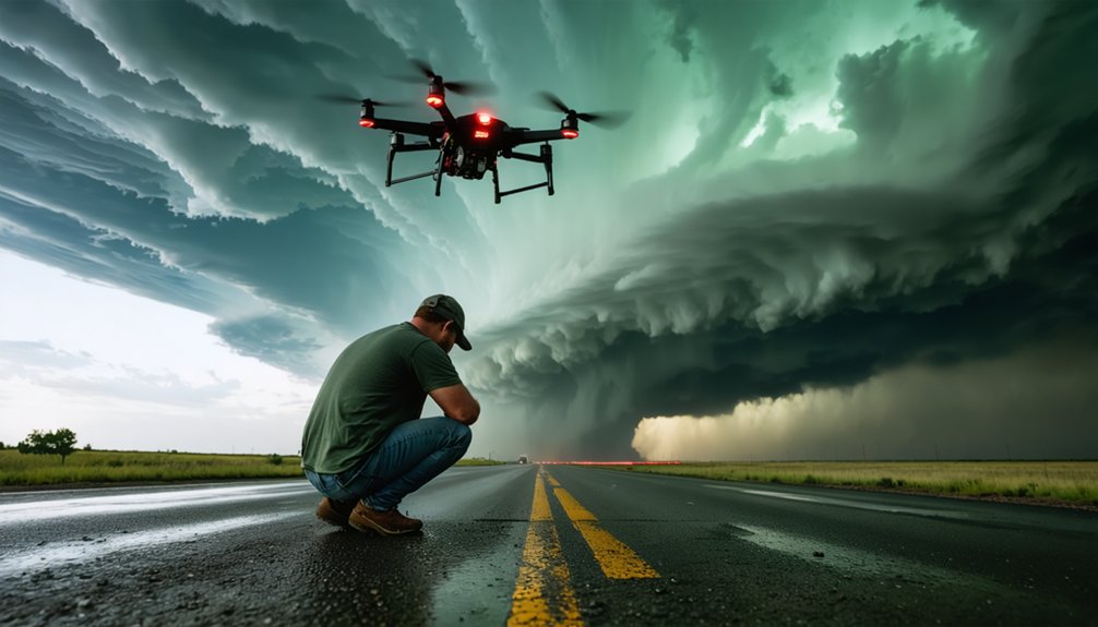
Swarming drones redefine hurricane data density, but their atmospheric sampling logic applies equally to tornadoes—where the stakes around warning time are far more acute. Current radar-based systems average 14-minute tornado warnings—barely enough time to act.
Compact drones, deployed directly into pre-tornadic environments, sample pressure gradients, humidity shifts, and wind velocity at ground truth levels radar can’t reach. That direct atmospheric access drives warning accuracy beyond what remote sensing allows.
You’re looking at potential warning windows stretching toward one hour—a dramatic operational margin. For communities prioritizing storm safety, that difference isn’t incremental; it’s transformative.
Mathematical flight models guide drones along wind currents, maximizing data yield before impact. You gain actionable lead time without risking a single human operator.
Storm Zones Compact Drones Enter That Radar and Aircraft Cannot
Radar systems and piloted aircraft operate under hard physical constraints—storm intensity, structural risk, and signal attenuation define their ceiling. Compact drones eliminate those boundaries by riding wind currents directly into restricted zones you can’t otherwise access.
Three critical environments where compact drones outperform conventional methods:
Three critical environments reveal where compact drones don’t just compete with conventional methods—they make them obsolete.
- Marine ecosystems — lightweight UAS units deploy over protected coastal habitats without regulatory intrusion or physical disruption during active storm events.
- Urban infrastructure — drones navigate low-altitude corridors between buildings, capturing pressure and wind velocity data radar signals can’t resolve at street level.
- Hurricane inner bands — mathematical flight models guide swarms deeper into storm systems, collecting atmospheric readings traditional aircraft structurally can’t survive.
You gain direct atmospheric sampling where signal attenuation, flight risk, and habitat restrictions previously created uncrossable operational limits.
FAA Rules Every Compact Storm Drone Operator Must Follow
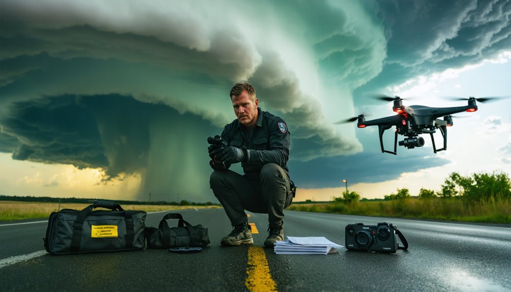
Before you launch any compact drone near an active storm system, FAA Part 107.205 waiver approval isn’t optional—it’s a legal requirement that separates research-grade operations from hobbyist flights. Regulatory compliance here isn’t bureaucratic friction—it’s your operational foundation.
Without waiver approval, you’re exposing yourself to penalties that ground your entire research program. Consumer drones lack the IP ratings, wind certifications, and signal redundancy that FAA safety protocols demand near thunderstorms. Lightning interference, uncontrolled ascent, and signal loss aren’t theoretical risks—they’re documented failure points.
You’ll need validated platforms like the DJI Matrice 350 RTK, rated for 39 mph winds, to satisfy compliance requirements. Meeting these standards doesn’t restrict your freedom—it expands it, granting legal access to storm environments that uncertified operators can never legally enter.
Which Compact Drones Can Actually Survive Severe Weather?
Not every drone you find on a consumer shelf can handle the aerodynamic chaos of a severe storm system. You need platforms engineered for punishment.
Not every consumer drone survives aerodynamic chaos. Storm systems demand platforms built for punishment, not shelves.
When selecting a weather-capable compact drone, prioritize these critical specifications:
- Wind resistance ratings exceeding 39 mph, like the DJI Matrice 350 RTK, which handles gusty coastal conditions without signal degradation.
- IP-rated weatherproofing designed for environments averaging winds above 15 mph or persistent fog exposure.
- FAA Part 107.205 waiver compliance, separating research-grade platforms from consumer models that risk lightning strikes and uncontrolled ascent.
Drone autonomy matters equally here. Weather modeling demands consistent, repeatable data collection, meaning your platform must execute programmed flight paths inside turbulent systems without operator intervention.
Consumer-grade hardware simply can’t deliver that operational reliability.
Frequently Asked Questions
How Far Can Compact Storm Drones Fly From Their Launch Point?
You’ll get nearly ten miles of data and video link range before storm battery life and flight range limitations kick in, letting you deploy compact drones deep into severe weather without risking human presence.
What Biodegradable Materials Are Used to Construct Disposable Storm Drones?
Still in the dark on exact specs — the knowledge doesn’t pinpoint which eco friendly materials or biodegradable composites are used, though you’ll find disposable storm drones are engineered to minimize environmental impact post-mission.
Can Compact Drones Be Reused After Surviving a Storm Event?
While some compact drones survive storm events, they’re primarily designed as disposables. If yours endures, you can retrieve onboard data cards for storm event analysis, but storm drone durability isn’t guaranteed, making reuse operationally unreliable.
How Are Swarming Drones Coordinated During Active Hurricane Deployments?
Imagine deploying 200 drones into Hurricane Ida—you’d coordinate them via laptop commands, leveraging autonomous navigation and real-time data transmission to ride wind currents, aggregating precise atmospheric measurements across the storm’s full pressure gradient simultaneously.
Do Compact Storm Drones Require Specialized Training to Operate Safely?
Yes, you’ll need pilot certification and emergency protocols mastery before deploying compact storm drones. FAA Part 107.205 waivers demand validated competency, ensuring you’re operating research-grade platforms safely within turbulent, high-risk hurricane and tornado environments.
References
- https://www.nationalgeographic.com/science/article/130725-drone-uav-uas-disposable-wildfire-storm-chasers
- https://www.youtube.com/watch?v=3eikO537gqA
- https://www.smithsonianmag.com/innovation/how-swarming-drones-can-explore-a-hurricane-96889916/
- https://www.npr.org/sections/alltechconsidered/2013/08/16/212262909/tornado-tech-how-drones-can-help-with-twister-science
- https://electronics.alibaba.com/buyingguides/storm-drone-guide-science-vs.-racing-use-cases