Chasing waterspouts as a conservationist demands equal parts meteorological skill and ecological awareness. You’ll find roughly 75% of activity occurs between May and September, peaking between 12 PM and 5 PM when surface heating maximizes instability. Fair-weather spouts develop upward from warm water exceeding 80°F, while tornadic types descend from supercells. Monitor converging winds, temperature gradients, and radar returns to anticipate formation. Master these variables, and you’ll discover both safer fieldwork and richer ecological documentation ahead.
Key Takeaways
- Fair-weather waterspouts form upward from warm water surfaces, making coastal zones between May and September prime observation windows for conservationists.
- Peak formation occurs between 12 PM and 5 PM, when surface heating maximizes atmospheric instability and vortex activity.
- Watch for dark water spots, spiral disturbance patterns, and tightening spray rings as reliable pre-formation indicators.
- Use NOAA radar, satellite imagery, and buoy data to safely position within observable range while maintaining clear escape routes.
- After dissipation, document displaced vegetation, water turbidity, and nesting disturbances, transmitting wildlife observations to the coast guard for regional tracking.
What Makes a Waterspout Form?
How a waterspout forms depends on which of its two primary types you’re observing. Fair-weather waterspouts develop upward from the water’s surface, driven by warm water temperatures, unstable air masses, and converging winds. Tornadic waterspouts descend downward from supercell thunderstorms, making them markedly more dangerous meteorological phenomena.
Atmospheric dynamics governing both types share common variables: moisture availability, temperature gradients, wind shear, and rotating updrafts. You’ll recognize favorable conditions when warm surface water destabilizes overlying air, triggering convective development. Wind shear then organizes that rotation into a visible vortex.
As a conservationist observer, understanding these formation mechanics lets you anticipate activity before visual confirmation occurs. Radar and satellite imagery help you identify conducive storm environments early, giving you maximum positioning flexibility and escape time.
Where and When Are Waterspouts Most Common?
Timing matters for your weather prediction strategy. Roughly 75% of annual waterspout activity concentrates between May and September, with peak formation windows running from 12 PM to 5 PM local time. During these hours, surface heating maximizes atmospheric instability, accelerating vortex initiation.
For marine navigation purposes, you’ll want to cross-reference NOAA radar loops, satellite imagery, and buoy data before entering high-activity zones. Positioning yourself within observable range while maintaining clear exit corridors requires integrating real-time meteorological data with local bathymetric and current charts.
Knowledge of both dimensions keeps your observation window open and your escape routes intact.
How Do You Read Waterspout Warning Signs Before It Forms?
Knowing when and where waterspouts cluster gets you into position, but reading pre-formation signatures is what keeps you ahead of the storm. Monitor weather patterns for converging surface winds, warm water beneath cool unstable air, and sharp temperature gradients — these preconditions accelerate vortex development.
Once conditions align, shift to visual cues: watch for a dark spot on the water surface, indicating localized rotation. A spiral pattern of disturbed water follows, then a spray ring tightens into a mature vortex. Each stage compresses quickly, sometimes within minutes.
Cross-reference radar returns and satellite-derived instability indices against what you’re observing visually. If rotating updrafts are evident on radar while surface signatures emerge simultaneously, formation is imminent. Reposition immediately to your southeast buffer zone before the vortex fully organizes.
How Do You Respond When a Waterspout Appears on the Water?
Once a waterspout is visible on the water, your response window compresses fast — prioritize movement over observation. Head toward shore or safe harbor immediately, navigating at a 90-degree angle from the waterspout’s projected path to reduce intercept probability.
Reduce sail, secure loose equipment, close hatches, and confirm your engine’s ready. Transmit your position and the waterspout’s location via marine radio to the coast guard — nearby vessels and wildlife disturbance zones benefit from that early alert.
Don’t attempt to pass through it. The environmental impact extends beyond the vortex itself — residual wave surges, debris fields, and rapid secondary storm development remain active threats post-dissipation.
Keep NOAA Weather Radio active, maintain life jacket accessibility, and don’t resume normal navigation until conditions are fully confirmed stable.
What Should You Do After a Waterspout Dissipates?
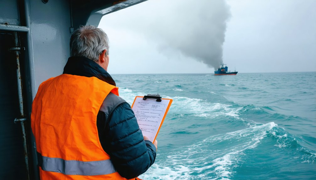
Dissipation doesn’t equal clearance. Residual wave surges, debris fields, and secondary storm development remain active threats immediately after a waterspout collapses.
Wildlife disturbance continues post-event, as displaced marine species and disturbed nesting zones reflect ongoing habitat recovery stress. Keep monitoring NOAA Weather Radio and watch for rotating cells that could regenerate.
Wildlife disturbance doesn’t end when the storm does — habitat recovery stress continues long after the vortex collapses.
- Scan for debris and downed power lines before approaching any shoreline affected by landfall
- Document habitat recovery indicators — displaced vegetation, disturbed nesting sites, and water turbidity shifts provide measurable conservation data
- Transmit your post-event position report to the coast guard, noting any wildlife disturbance observations for regional tracking databases
You’re not done working when the vortex disappears. Sustained situational awareness separates effective conservationist-observers from those who create additional hazards in an already compromised environment.
Frequently Asked Questions
What Equipment Do Conservation Researchers Typically Bring When Chasing Waterspouts?
Like a surgeon prepping tools, you’ll pack weather pattern monitors, cameras, marine radios, and life jackets. Prioritize equipment maintenance before deployment—reliable gear guarantees you’re capturing accurate, data-driven observations while preserving your freedom to chase safely.
How Do You Safely Coordinate With a Partner During Active Waterspout Observation?
You’ll maximize risk mitigation by assigning one partner to drive while the other tracks storm structure. Use clear communication strategies—call out position changes, escape routes, and waterspout movement in real time.
What Is the Ideal Positioning Relative to a Moving Waterspout for Observers?
Position yourself southeast of a northeast-moving waterspout. You’ll optimize visibility while honoring safety protocols—weather patterns shift fast, so maintain your buffer zone, keep escape routes open, and never compromise your freedom to retreat immediately.
How Should Waterspout Sightings Be Reported to Authorities While on Water?
With 75% of activity peaking May–September, you’ll want to act fast. Transmit your exact position via marine radio to the coast guard, prioritizing wildlife protection and data documentation to keep nearby vessels and ecosystems informed.
Which Geographic Hotspots Offer the Most Reliable Waterspout Activity for Researchers?
You’ll find the Florida Keys and Great Lakes offer the most reliable waterspout activity, peaking May–September. These hotspots intersect marine biodiversity zones and climate impact research, giving you rich, data-driven opportunities for interdisciplinary observation and conservation work.
References
- https://www.weather.gov/media/bis/Weather_Spotter_Field_Guide.pdf
- https://www.chesapeakebaymagazine.com/waterspout-wisdom/
- https://crazystormchasers.com/the-science-behind-chasing-waterspouts/
- https://crazystormchasers.com/best-strategies-for-chasing-waterspouts/
- https://crazystormchasers.com/best-tips-for-staying-safe-around-waterspouts/
- https://www.nhcgov.com/2475/Waterspouts
- https://blog.tempest.earth/waterspouts-101/



