You rely on live tracking tools to monitor storm position, optimize intercept routes, and make faster decisions when conditions shift. GPS integration delivers precise spatial context, while continuous radar feeds capture rotation signatures, precipitation intensity, and cell splits in real time. Shared map overlays keep teams synchronized across multiple vehicles, and predictive path modeling helps you anticipate where a storm’s headed next. There’s far more to uncover about how each tool sharpens your edge in the field.
Key Takeaways
- Live tracking tools provide real-time storm cell location and movement updates, enabling chasers to maintain accurate positional awareness at all times.
- GPS integration delivers precise spatial context, helping chasers distinguish exact storm positioning rather than relying on guesswork.
- Predictive path modeling and live mapping optimize interception routes while preventing chasers from getting trapped on dead-end roads.
- Real-time alerts compress event-response gaps, allowing chasers to proactively adjust decisions as storm conditions rapidly shift.
- Shared live tracking tools synchronize team positioning data, improving coordination across multiple vehicles during complex storm chase operations.
Live Tracking Tools That Keep Chasers Ahead of the Storm
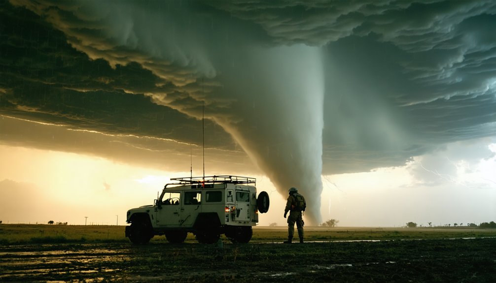
When you’re chasing a severe storm, real-time positional awareness isn’t optional—it’s the foundation of every safe and effective intercept.
Live tracking tools deliver real time updates on storm cell location, movement vectors, and structural changes, so you’re never operating on outdated data. GPS integration pinpoints your exact field position against active radar overlays, giving you precise spatial context within a fast-shifting environment.
Real-time data doesn’t just inform your intercept—it defines the difference between precise positioning and costly guesswork.
You can monitor rotation signatures, precipitation intensity, and cell splits as they develop—not minutes after. That accuracy lets you make independent, informed decisions about positioning, approach angles, and exit routes.
When a storm accelerates or changes direction unexpectedly, continuous data feeds keep you ahead of it. You control your intercept because you’re working with current, reliable information rather than guessing.
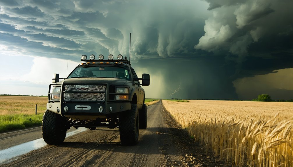
Safer Route Planning and Smarter Interception Points
Route selection during a storm chase isn’t guesswork—it’s a calculated process driven by radar data, storm motion vectors, and road network analysis.
Live mapping tools let you optimize routes in real time, cross-referencing storm trajectory with available road grids to identify efficient interception strategy options. You’re not just picking a road—you’re positioning yourself relative to a moving, rotating system while maintaining an exit.
Predictive path modeling lets you anticipate where the storm will be, not just where it is. Surface observations highlight hazards like debris, flooding, or low visibility corridors before you encounter them.
Route optimization keeps you from getting boxed in on dead-end roads with no escape. When conditions shift fast, your tools need to keep pace—and live tracking delivers that precision.
Faster Warning Decisions With Live Tracking Data
Positioning yourself ahead of a storm is only half the equation—acting on what the data tells you in time to matter is the other half. Real time alerts push severe weather updates directly to your device the moment conditions shift, compressing the gap between event and response.
That compression directly improves decision making speed, letting you reroute, reposition, or exit before a situation turns dangerous. Mobile apps deliver radar loops, warning polygons, and storm reports simultaneously, so you’re not piecing together a picture from delayed sources.
When you share live video with broadcasters or emergency managers, that data loop extends outward—your field position becomes an input for public warnings. Faster data access means you control your response window instead of reacting to one that’s already closing.
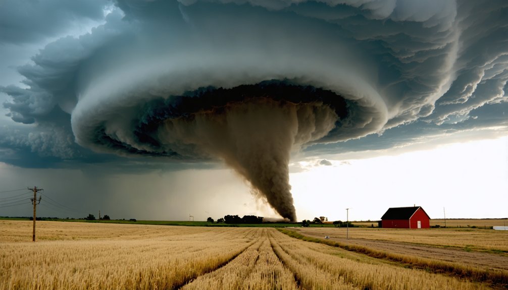
What Live Tracking Tools Reveal About Storm Behavior
Doppler radar, satellite feeds, and surface observations combine to give you a layered picture of what a storm is actually doing beneath its visible structure.
Velocity data reveals rotation signatures that indicate mesocyclone development, while reflectivity data exposes storm intensity and structural organization.
Satellite imagery tracks broader cloud-top evolution, helping you identify strengthening trends before ground-level conditions confirm them.
Radar interpretation improves when you’re correlating multiple data streams simultaneously rather than relying on a single source.
Surface observations fill gaps by providing localized temperature, dewpoint, and wind shifts that radar alone can’t resolve.
Together, these inputs sharpen your understanding of storm dynamics in real time, letting you make faster, evidence-based decisions about storm behavior, movement, and potential hazard escalation without depending on guesswork.
Better Team Coordination During Active Storm Chases
When multiple vehicles are operating in the same storm environment, shared situational awareness isn’t optional—it’s operationally critical. Live tracking tools give your team synchronized positioning data, so everyone knows where each unit is relative to the storm’s motion vector and road network.
Real-time communication breaks down fast when conditions shift. Shared map overlays and GPS-integrated platforms keep your team dynamics stable by reducing radio dependency and eliminating positional guesswork. You can coordinate interception angles, maintain safe vehicle spacing, and redistribute team members when a storm splits—all without losing operational tempo.
Redundant communication systems matter here. Cellular dead zones are common in rural chase environments, so layering satellite-based messaging with live tracking guarantees your coordination infrastructure holds even when the network doesn’t.
Frequently Asked Questions
How Much Do Live Storm Tracking Tools Typically Cost for Beginners?
You’ll find beginner options range from free apps to $30/month subscriptions. Cost comparison shows RadarScope at $10 one-time, while GREarth and Spotter Network offer no-cost entry-level access for new chasers.
Do Live Tracking Tools Require a Professional Meteorology Background to Use?
You don’t need a meteorology background to use live tracking tools. Their user-friendly interfaces let you interpret radar and GPS data independently. However, understanding data accuracy improves your situational awareness and sharpens your real-time storm analysis decisions considerably.
Are Live Tracking Tools Legal to Use During Active Tornado Emergencies?
Yes, you can legally use live tracking tools during active tornado emergencies. However, you’ll need to respect legal considerations like emergency protocols, stay out of restricted zones, and avoid interfering with official response operations.
Can Live Tracking Tools Function Reliably Without a Strong Cellular Connection?
Like a lifeline stretched thin, cellular dependency can hurt tracking accuracy, but you can rely on GPS-based tools, offline maps, and satellite connections to maintain reliable function without strong cellular coverage.
What Weather Conditions Make Live Tracking Tools Least Effective or Unreliable?
You’ll find live tracking tools least effective when extreme precipitation, hail, or dense cloud cover disrupts weather radar accuracy and when lightning or atmospheric turbulence causes signal interference, degrading GPS precision and real-time data transmission reliability.
References
- https://www.reddit.com/r/stormchasing/comments/1j39990/storm_chasing_virtually/
- https://crazystormchasers.com/live-storm-tracking-for-storm-chasers/
- https://www.acurite.com/blogs/who-uses-acurite/how-acurite-atlas-helps-a-storm-spotter
- https://crazystormchasers.com/best-tools-for-tracking-storm-paths/
- https://www.linkedin.com/pulse/gps-tracking-tornadoes-tracking-system-direct
- https://www.pcmag.com/news/what-do-you-carry-storm-chaser-reed-timmer
- https://www.preventionweb.net/news/what-do-storm-chasers-really-do-two-tornado-scientists-take-us-inside-chase-and-tools-studying
- https://kestrelinstruments.com/blog/kestrel-meters-storm-chasing-reliable-tracking-for-severe-weather-conditions
- https://www.stormtours.com/information/storm-chasing-technology/
- https://www.facebook.com/groups/327727507385830/posts/2984487528376468/