Spotting storm formations early requires three core techniques: tracking storm position and movement using radar, satellite imagery, and NOAA Weather Radio; reading upper-sky indicators like overshooting tops, sharp anvil definition, and crisp updraft towers that signal intensification before lower-level rotation develops; and identifying ground-level warning signs like wall clouds, persistent rotation, and inflow winds converging toward the storm base. Combining these data sources narrows your tornado formation window considerably—and there’s much more to unpack about each technique.
Key Takeaways
- Monitor upper-sky indicators like overshooting tops and sharp anvil edges, which signal powerful updrafts before lower-level rotation develops.
- Cross-reference radar data with visual observations to track storm movement speed, direction, and core rotation signatures accurately.
- Watch for ground-level warning signs like wall clouds and persistent rotation exceeding 10 minutes, indicating increased tornado risk.
- Use satellite imagery and weather models together to gain early insights into storm development and trajectory shifts.
- Document timestamps and positions of multiple warning signs to narrow the tornado formation window and improve assessment accuracy.
Use These Tools to Track Storm Position and Movement
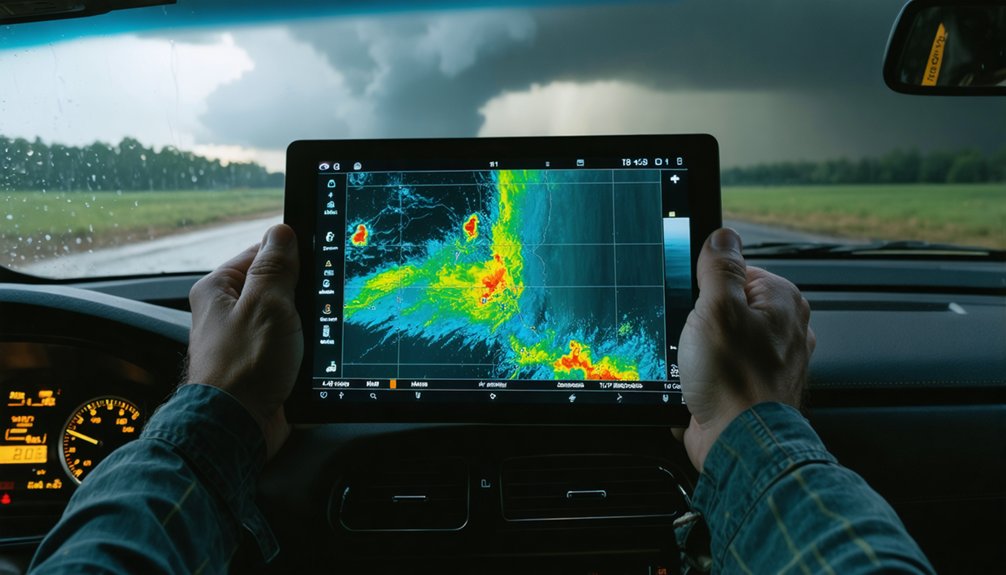
When tracking storm position and movement, you’ll need a core set of tools: binoculars, weather models, a NOAA Weather Radio, and a two-way radio for communicating with dispatch and other spotters. Each tool serves a distinct function.
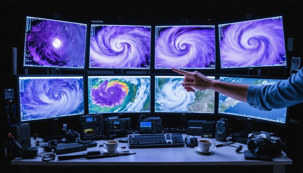
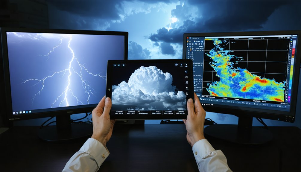
Binoculars let you assess visual storm features at distance, while weather models and satellite imagery give you a broader picture of storm development and trajectory.
Radar interpretation helps you pinpoint the storm’s core, identify rotation signatures, and anticipate directional shifts before they happen.
Your NOAA Weather Radio delivers real-time local updates, keeping your situational awareness sharp.
Always track the storm’s movement speed and direction continuously—never assume it’s static.
Cross-reference your radar interpretation data with direct visual observation to maintain an accurate, evolving picture of where the storm is headed.
Read the Upper Sky for Signs of a Strengthening Storm
Before you look for warning signs near the ground, scan the upper sky first—it’s where a storm’s true intensity begins to reveal itself. Cloud patterns and temperature gradients tell you exactly how much energy the atmosphere is releasing.
Before danger forms at ground level, the upper sky already holds the storm’s most critical secrets.
Watch for these four upper-level indicators:
- Overshooting top — a dome-shaped protrusion above the anvil persisting over 10 minutes signals a powerful updraft punching through the tropopause.
- Sharp anvil definition — cauliflower-textured edges indicate an aggressive, still-strengthening storm tower.
- Solid updraft tower — crisp, well-defined edges confirm strong vertical momentum with minimal entrainment.
- Smooth, thick anvil — cumuliform, dense anvil tops confirm the updraft’s sustained intensity.
These visual cues give you critical lead time before lower-level rotation even develops.
Spot Ground-Level Warning Signs Before a Tornado Forms
Once the upper-level indicators confirm a strengthening storm, shift your attention to the lower levels—this is where tornado precursors become visible. Ground indicators provide critical data points that demand immediate action.
Focus on these environmental clues:
- Wall cloud: An isolated lowering of the rain-free base signals organized rotation.
- Persistent rotation: Watch for wall cloud rotation exceeding 10 minutes.
- Inflow winds: Strong surface winds driving eastward or southeastward toward the wall cloud confirm low-level convergence.
- Rapid vertical motion: Small cloud elements rising sharply indicate intense updraft activity.
- Power flashes: Bright flashes along the horizon signal infrastructure destruction from damaging winds.
Track each indicator systematically. Document timestamps and positions. These ground-level signatures, when combined, dramatically narrow your tornado formation window.
Frequently Asked Questions
What Safety Protocols Should Storm Spotters Follow During Nighttime Observations?
During nighttime observations, you’ll want to leverage lightning for nighttime visibility, watch for power flashes indicating damaging winds, maintain safety lighting in your vehicle, keep it running, and always secure clear escape routes for rapid departure.
How Should Spotters Communicate Severe Weather Reports to Local Dispatch?
Even if radio feels outdated, you’ll find it’s your most reliable communication channel. Use the TELL method—Time, Event, Location—to report weather patterns clearly to dispatch, identifying yourself and the severe event’s movement precisely.
What Essential Equipment Do Storm Spotters Need Before Heading Out?
Before heading out, you’ll need binoculars, weather models, a reliable car, and an SOS alarm for storm safety. Pack essential weather gear, including a notebook and camera, to log and document data precisely.
How Many People Should Travel Together When Storm Spotting?
Can you imagine steering fierce weather patterns alone? You shouldn’t—travel in pairs. It’s essential for emergency preparedness: one drives while the other observes, ensuring you’re never distracted and always maintaining situational awareness during dangerous storm spotting operations.
What Method Should Spotters Use When Formally Reporting Storm Observations?
When reporting storm observations, you’ll use the TELL method—Time, Event, Location. Identify yourself clearly, report the weather event, and include movement. Apply storm pattern analysis and weather radar interpretation data to guarantee precise, accurate communication with dispatch.
References
- https://www.weather.gov/media/bis/Weather_Spotter_Field_Guide.pdf
- https://stormtrack.org/threads/introduction-to-storm-spotting.33062/
- https://www.weather.gov/media/ilm/advancedspotterguide.pdf
- https://www.weather.gov/media/grr/brochures/nwsbasicspottersfieldguide.pdf
- https://www.weather.gov/media/meg/Spotter_Handout_2020.pdf
- https://www.youtube.com/watch?v=HO93zIaIGiI
- https://www.scribd.com/document/419180137/Advanced-Spotter-Guide