Capturing extreme weather starts long before you reach the field. You’ll need to review Storm Prediction Center outlooks, study visible satellite imagery, and assess surface trends to identify viable targets. Once you’re chasing, read structural cues like wall clouds, clear slots, and inflow tails to gauge storm intensity. Always maintain two escape routes and reposition early when conditions shift. There’s considerably more strategy involved in executing each stage successfully.
Key Takeaways
- Review Storm Prediction Center outlooks and satellite imagery before chasing to identify viable storm targets and avoid reactionary positioning.
- Watch for wall clouds, clear slots, and inflow tails as key visual indicators of intensifying, potentially tornadic storms.
- Pack essential gear including charged devices, backup batteries, first aid supplies, offline maps, and a full fuel tank.
- Always approach storms from the south or southeast, identifying two escape routes before committing to any position.
- Prioritize escape route preservation over intercept continuation when visibility drops, conditions shift, or storm motion threatens safety.
Know What You’re Chasing Before You Leave the House
Before you leave the driveway, you need a clear picture of what you’re heading into. Pull up the Storm Prediction Center outlooks, review mesoscale analysis, and check surface observations to identify viable targets. Understanding storm development early keeps you ahead of shifting conditions rather than reacting to them.
Once you’re near your target area, lean on visible satellite imagery and surface trends over short-term model runs—convection models update too rapidly to be reliable at close range. Watch for cumulus growth, boundary development, and clearing skies, all of which signal building instability.
Recognizing these weather patterns before initiation lets you position proactively. If it’s a high-tornado-probability day, assess honestly whether your skill level matches the risk before committing to a target.
How to Read the Sky When a Storm Is Building
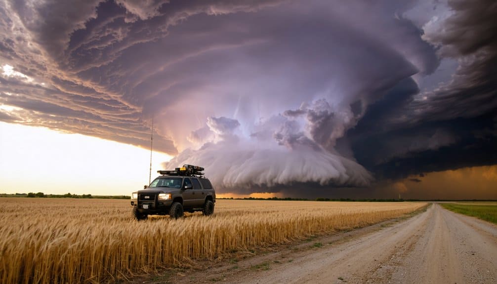
Once you’re in the field, the sky becomes your primary data source, and reading it accurately can mean the difference between a productive intercept and a dangerous miscalculation. Watch these four indicators to assess storm intensity and structure in real time:
In the field, the sky is your primary data source — read it wrong, and the consequences follow.
- Wall clouds — persistent lowering beneath the updraft base signals cloud rotation and possible tornadic development.
- Clear slots — a brightening notch wrapping around the updraft indicates rear flank downdraft intrusion and structural change.
- Inflow tails — low, horizontal bands feeding toward the updraft confirm strong moisture convergence.
- Cumulus growth rate — rapid vertical development signals increasing storm intensity and instability.
Cross-reference visual cues with surface wind shifts and grass or flag movement to confirm what radar suggests before repositioning.
Pack Your Chase Kit Before You Hit the Road
A well-stocked chase kit isn’t optional — it’s the logistical foundation that keeps you functional in the field when conditions deteriorate fast. Before departure, verify your phone is fully charged and pack backup batteries. Radar access is non-negotiable for real-time storm safety decisions.
Carry first aid supplies, water, and snacks — extended chases drain your focus when you’re dehydrated or underfed.
Your weather gear should include a dashcam and camera for documenting storm structure, plus a notebook for logging chase decisions. Fill your tank before leaving; rural chase corridors often lack fuel options when you need them most.
Know your terrain, carry offline maps, and identify a fallback target. A prepared kit doesn’t slow you down — it extends how long you can operate safely and independently.
Pick Your Position and Plan Your Escape Routes
Positioning is where forecasting shifts into tactical decision-making, and getting it wrong can eliminate your escape options faster than the storm itself can move. Your storm approach angle and road network determine whether you’re mobile or trapped.
Positioning is where preparation ends and survival begins—your angle and your roads decide everything.
Prioritize these four positional principles:
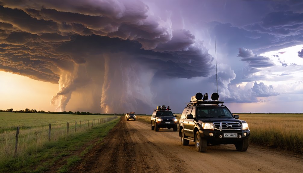
- Approach from the south or southeast to maintain visual contact with the updraft base while staying clear of the forward flank core.
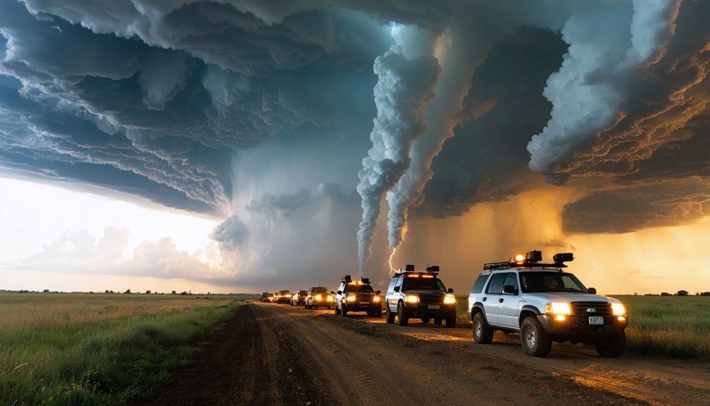
- Identify two exit routes before committing to any position—never rely on a single road.
- Reposition early, not reactively; late moves compress your escape planning window dangerously.
- Avoid northward retreats ahead of a storm’s forward motion—you’ll lose ground quickly.
Your freedom in the field depends entirely on roads you’ve already mapped.
How Storm Chasers Stay Safe When Conditions Change Fast
When conditions shift unexpectedly, your first priority is preserving escape options, not continuing the intercept. Storm drift can alter a cell’s track within minutes, turning a viable southern approach into a compromised position. Monitor heading and speed continuously, not just at intervals.
If your primary escape route closes, reposition immediately—don’t wait for confirmation that conditions are worsening. Core-punching to recover a lost angle isn’t worth the hail exposure or visibility loss it creates.
Lightning awareness demands equal attention. Exiting your vehicle during electrical activity near an active supercell carries serious risk. Keep windows up and stay mobile when lightning frequency increases.
Abandon the target when escape routes narrow, visibility drops critically, or storm drift pushes the core toward your position. Freedom in chasing means knowing when to disengage.
Frequently Asked Questions
What Formal Training or Certifications Are Recommended Before Storm Chasing Begins?
You should complete formal spotter training before chasing. It’s essential for storm safety and builds situational awareness. Pair it with equipment essentials knowledge, radar study, and armchair chasing practice to sharpen your analytical decision-making in dynamic field conditions.
How Do Storm Chasers Communicate With Emergency Services During Active Events?
You’ll typically relay real-time storm data to local emergency services via ham radio or spotter networks. Following safety protocols and integrating weather forecasting updates guarantees you’re transmitting accurate, actionable intelligence that supports coordinated emergency response operations efficiently.
Are There Legal Restrictions on Where Storm Chasers Can Operate?
You’ll navigate legal boundaries freely in most public spaces, but permitted zones tighten around active emergency perimeters, private property, and closed roadways. Respect law enforcement closures — they’re protecting your operational freedom long-term.
How Do Experienced Chasers Document and Report Their Observations Afterward?
You’ll log weather patterns using dashcams, notebooks, and photos, then submit data to spotter networks. Your data analysis sharpens future forecasts, letting you chase freely and contribute meaningfully to severe weather science.
What Role Does Teamwork or Partnering Play in Successful Storm Chasing?
Partnering amplifies your effectiveness—you’ll split forecasting, navigation, and observation tasks while maintaining storm coordination. A teammate reinforces safety protocols, monitors escape routes, and catches hazards you’d otherwise miss, giving you greater operational freedom in dynamic conditions.
References
- https://extremetornadotours.com/
- https://www.youtube.com/watch?v=6otZLjSZvPU
- https://www.reddit.com/r/stormchasing/comments/1jgc295/a_beginners_guide_to_storm_chasing/
- https://www.stormchasingusa.com/blog/learning-the-basics-about-storm-chasing/
- https://www.tornadosimulator.net/storm-chaser-beginner-guide/
- https://books.google.com/books/about/Storm_Chasing_Handbook.html?id=iZqPPQAACAAJ
- https://en.wikipedia.org/wiki/Storm_chasing
- https://store.anythingweather.com/storm-chasing-handbook