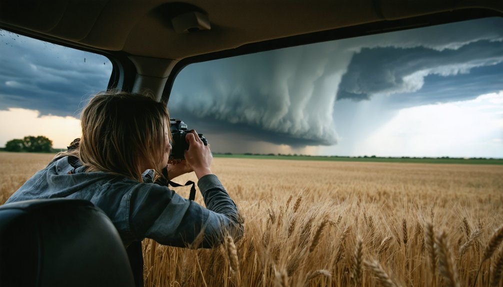
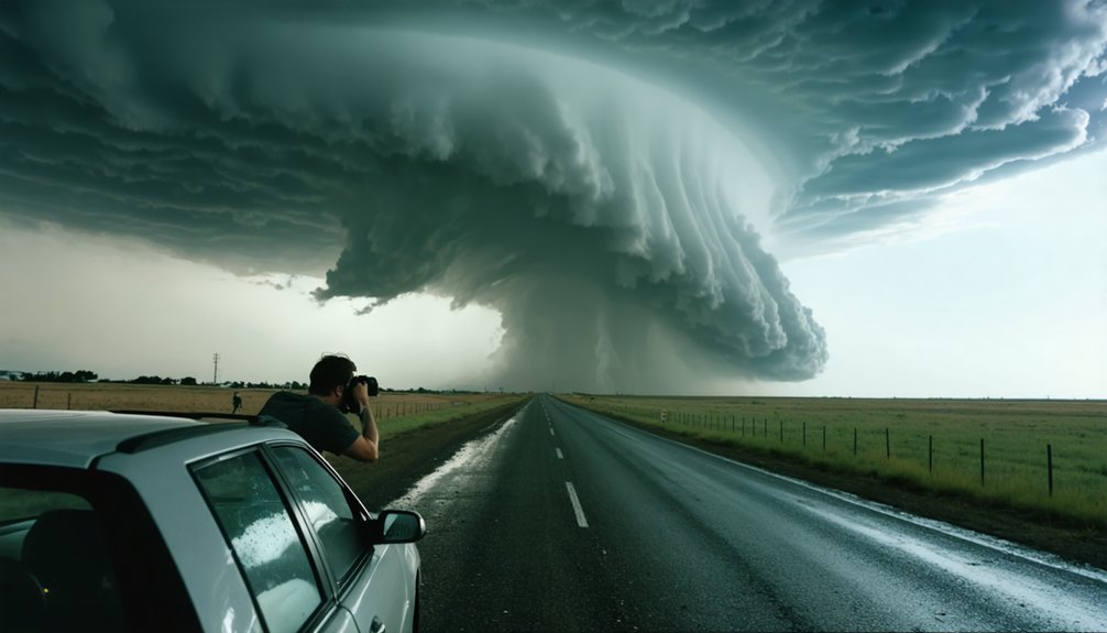
To identify dangerous storms, you need to recognize four atmospheric ingredients: moisture, instability, wind shear, and lift. When all four align, storms can turn violent fast. On radar, look for hook echoes, tight velocity couplets, and right-moving supercells. Visually, watch for wall cloud rotation, rain curtains wrapping the mesocyclone, and a lowering cloud base. Master these signals and you’ll understand exactly when a storm becomes deadly—and what to do next.
Key Takeaways
- Look for tight, well-defined hook echoes on radar, indicating strong mesocyclones and elevated tornado risk.
- Monitor CAPE values and wind shear together; high readings in both signal violent, organized storm potential.
- Watch for persistent wall cloud rotation, rapid upward motion, and rain curtains wrapping the mesocyclone.
- Analyze hodograph shape and steep lapse rates on Skew-T diagrams to confirm supercell development likelihood.
- Cross-reference velocity couplets with reflectivity data to confirm rotation before committing to any intercept position.
What Atmospheric Conditions Make a Storm Turn Severe
When a thunderstorm turns severe, four atmospheric ingredients must align: moisture, instability, wind shear, and lift. You’ll need to understand each element to recognize when conditions become dangerous.
Moisture fuels convection, while instability—measured through CAPE on Skew-T diagrams—determines how violently air rises. Strong wind shear organizes storm structure, enabling rotation and sustaining supercells capable of producing destructive hail formation and violent tornadoes.
Lift triggers the initial updraft, forcing unstable air upward.
Monitor storm-relative helicity on SPC mesoscale analysis maps to quantify wind shear threats in your target area. Unusual lightning patterns, particularly frequent and intense ground strikes, often signal a rapidly intensifying updraft.
When all four ingredients converge simultaneously, you’re facing a storm environment capable of producing catastrophic severe weather.
The Four Ingredients Every Dangerous Thunderstorm Needs
Before a thunderstorm can turn dangerous, four atmospheric ingredients must converge: moisture, instability, wind shear, and lift. Moisture fuels the storm’s energy, feeding updrafts that drive hail formation and intensify lightning strikes.
Four ingredients must align before a storm turns deadly: moisture, instability, wind shear, and lift.
Instability allows air parcels to rise rapidly, creating the explosive vertical development you’ll see in towering cumulonimbus columns.
Wind shear organizes the storm’s rotation, separating updrafts from downdrafts and enabling sustained supercell structure.
Lift, provided by fronts, dry lines, or terrain, forces surface air upward to initiate convection.
When you’re analyzing pre-chase data, verify all four ingredients are present in your target area. Missing even one weakens storm potential considerably.
Use SPC mesoscale analysis maps to confirm these parameters align before committing to a chase deployment.
How to Use Forecast Soundings to Pick Your Chase Target
Forecast soundings give you a vertical snapshot of the atmosphere’s temperature, moisture, and wind profile at a specific location and time, making them one of the most powerful pre-chase targeting tools available.
By analyzing a Skew-T diagram, you’ll assess atmospheric stability through CAPE values, identify capping inversions, and evaluate moisture depth.
Strong CAPE paired with a moderate cap signals explosive storm potential once lift triggers convection.
You’ll also examine hodograph shape directly from the sounding to gauge wind shear and supercell potential.
Pull forecast soundings from your target area several hours before deployment, comparing multiple model runs to identify consistency.
Inconsistent solutions demand caution.
When the sounding shows steep lapse rates, deep moisture, and strong shear simultaneously, you’ve likely found your chase target.
Use Radar to Identify Supercell Structure Before You Commit
Radar gives you the clearest picture of supercell structure before you ever leave your staging area. Study radar signatures carefully, identifying the hook echo, bounded weak echo region, and forward flank notch — core supercell indicators confirming a rotating updraft.
Radar reveals supercell structure before you chase — hook echo, bounded weak echo region, rotating updraft confirmed.
A tight, well-defined hook echo suggests strong mesocyclone development and potential tornado activity. Watch storm motion vectors; a right-moving cell separating from a linear cluster signals supercell organization.
Check velocity scans alongside reflectivity. Couplets showing strong rotation confirm what reflectivity implies. If rotation is shallow or disorganized, reconsider your commitment.
Radar doesn’t lie, but it demands interpretation. Cross-reference SPC discussions and observed soundings to validate what you’re seeing. Commit only when radar signatures align with favorable atmospheric parameters — your safety depends on accurate pre-chase assessment.
Visual Warning Signs That Tell You a Tornado Is Forming
Once you’re in position, the atmosphere begins communicating through a sequence of visual cues that demand your immediate recognition. Watch the wall cloud closely for persistent cyclonic rotation and rapid upward motion — these signal intensifying updraft strength.
Rotating curtains of rain wrapping around the mesocyclone indicate the bear’s cage, often preceding tornado development.
Track cloud formation changes at the base level. A lowering that tightens and descends toward the ground confirms concentrated rotation.
Lightning patterns also shift during tornadogenesis, with frequent in-cloud discharges illuminating the rotating structure, particularly after dark.
If the wall cloud begins producing a funnel that extends earthward while ground debris kicks up beneath it, a tornado has formed.
Maintain your escape route and never position yourself directly south or southeast of the circulation.
What a Wall Cloud Is Actually Telling You
Beyond recognizing the visual sequence of tornado formation, you need to understand what a wall cloud is communicating at a structural level. A wall cloud forms when rain-cooled air wraps into a storm’s updraft, lowering the condensation level beneath the main cloud base. That localized lowering isn’t random — it’s your wall cloud interpretation key, signaling intense inflow and concentrated upward motion.
Watch specifically for two tornado precursor signs: persistent rotation and rapid vertical motion within the wall cloud itself. Not every wall cloud rotates, so you can’t assume danger from appearance alone. When rotation becomes sustained and tightens, you’re watching mesocyclone organization at low levels.
At that point, tornado development can occur within minutes. Maintain your escape route and never position yourself directly beneath it.
The Non-Negotiable Safety Rules for First-Time Chasers
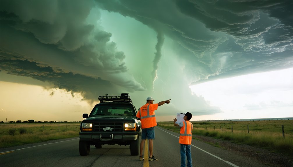
Storm chasing carries real consequences when safety protocols break down, and first-time chasers are most vulnerable to the decisions that get people killed. Historical storm patterns confirm that most chaser fatalities involve core punching, overpasses, and inadequate escape routes.
Don’t drive through heavy precipitation cores seeking better positioning—you’ll lose your exit options fast.
Always pre-plan your escape route before the storm demands one. Your chase vehicle won’t protect you from high winds, so never treat it as shelter.
Carry essential chaser safety gear, including communication devices, paper maps, and weather radio, because digital systems fail under pressure.
Never break traffic laws to intercept a storm. Speed doesn’t improve your position—it eliminates your decision-making margin. Discipline separates productive chasers from statistics.
How to Plan an Escape Route on Every Chase
Every chase demands a pre-planned escape route before you position yourself near a storm—not after it intensifies. Study your road network before deploying. Identify paved roads running perpendicular to the storm’s expected motion, giving you a southward or eastward exit if the storm turns right.
Plan your escape route before the storm demands it—not after panic sets in.
Severe storms in the Northern Hemisphere frequently shift rightward without warning, cutting off your escape window fast. Don’t wait until rotation tightens to move.
Establish communication protocols with your chase partners before departure. Designate a check-in frequency and confirm exit points together.
Lightning safety also factors into your positioning—never park beneath isolated trees or elevated structures during electrical activity.
Your escape route isn’t optional. It’s the single decision that separates disciplined chasers from statistics.
Core Punching and Other Positioning Mistakes That Get Chasers Killed
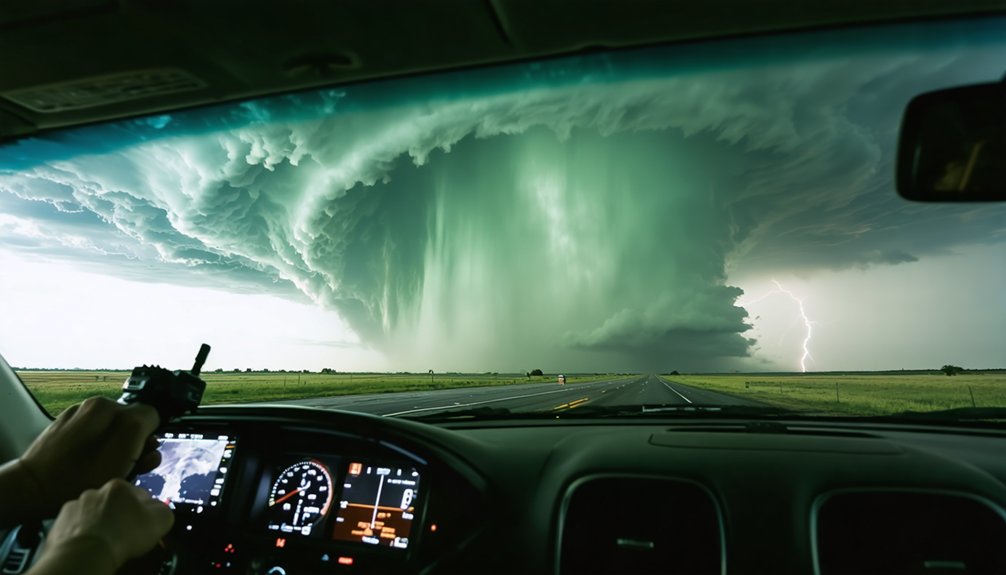
Core punching — driving through a storm’s heavy precipitation core to gain better positioning — blinds you to rotating wall clouds and cuts off your escape route before you can react.
You must maintain a clear visual on the storm’s structure at all times, keeping your pre-planned escape route open and perpendicular to the storm’s direction of travel.
A rotating wall cloud can produce a significant tornado within minutes, and if you’ve buried yourself in the core, you won’t see it coming until it’s already on top of you.
Core Punching Deadly Risks
Among the most lethal positioning mistakes a chaser can make, driving through a storm’s heavy precipitation core to gain a better intercept angle—known as core punching—can trap you inside a tornado-producing circulation with zero visibility and no escape route. You’ll face simultaneous lightning hazards, baseball-sized hail threats, and violent winds before you even recognize the danger.
Radar won’t save you once you’re inside—signal attenuation masks the true circulation structure, stripping away your situational awareness entirely. Your vehicle, already too light to withstand extreme winds, becomes a steel coffin.
Experienced chasers maintain a clear visual on storm structure at all times, positioning themselves on the storm’s southern or southeastern flank. Surrendering intercept opportunities beats surrendering your life to a circulation you can’t see coming.
Escape Route Planning Essentials
Surviving core punching and other positioning mistakes starts before you ever leave the pavement—you need a pre-planned escape route built into every intercept, not improvised when the storm starts moving toward you. Study road networks ahead of deployment. Identify paved routes running perpendicular to the storm’s expected forward motion, giving you lateral escape options rather than a single retreat path.
Northern Hemisphere supercells frequently turn right, so your escape route must account for that directional shift. Never rely on a storm shelter or overpass as a fallback—both become death traps under tornado conditions.
Factor in lightning safety when exiting your vehicle to reposition. Knowing your exits before the storm intensifies keeps you free to make rational, calculated decisions when conditions deteriorate rapidly.
Rotating Wall Cloud Dangers
When a wall cloud begins rotating, you’re no longer watching a storm—you’re standing inside its kill zone. Wall cloud formation signals the mesocyclone’s lowering base, concentrating the updraft’s most violent energy directly overhead. Rotation indicators—persistent cyclonic spin, rapid vertical motion, and tightening circulation—confirm imminent tornado development, sometimes within minutes.
Core punching through the precipitation curtain to reposition yourself is a fatal miscalculation. You’ll lose visual contact, enter debris-filled rain bands, and surrender your escape route simultaneously. Driving beneath a rotating wall cloud compounds that error exponentially.
Maintain a southeast or east position relative to the storm’s forward motion. Distance preserves visibility, decision time, and exit options. Your freedom to chase another day depends entirely on never confusing proximity with advantage.
When a Storm Chaser Must Stop and Seek Shelter Immediately
Recognizing the moment you must abandon observation and seek shelter can mean the difference between life and death. If a tornado tracks directly toward your position and you can’t execute a safe escape route, stop immediately. Don’t attempt to outrun it in congested areas or on dirt roads. Your vehicle won’t protect you from high winds or storm damage caused by airborne debris.
Exit your vehicle and find a sturdy structure or lie flat in a low-lying roadside ditch, covering your head. Never shelter under an overpass—it funnels deadly debris directly underneath.
Lightning safety demands you stay away from isolated trees and metal objects. When secondary circulations develop along the rear flank downdraft, your margin for error collapses. Prioritize position awareness constantly.
Frequently Asked Questions
How Do I Communicate My Location to Emergency Services During a Chase?
Like Paul Revere’s midnight ride, you must master emergency communication: always share your GPS coordinates via radio or apps for real-time location sharing, ensuring emergency services can pinpoint you instantly during any chase scenario.
What Equipment Should a Beginner Storm Chaser Carry in Their Vehicle?
You’ll need weather radar apps, a GPS, two-way radios, a first aid kit, and emergency supplies. Prioritize storm safety by scheduling regular equipment maintenance checks, ensuring you’re always mission-ready and operationally independent in the field.
How Do Storm Chasers Coordinate With Other Chasers in the Same Area?
Like a wolf pack on the hunt, you’ll coordinate through radio channels and apps like Spotter Network, sharing real-time weather pattern analysis to maintain storm chasing safety while ensuring your team’s movements stay synchronized and collision-free.
Are There Legal Permits or Licenses Required to Become a Storm Chaser?
You don’t need formal permits or licenses to chase storms. Storm chasing regulations vary by location, but permit requirements are generally nonexistent. Follow traffic laws, respect private property, and you’re legally free to chase.
How Does Chasing Storms at Night Differ From Daytime Chasing Techniques?
Like a blindfolded navigator, you’ll face dramatically reduced nighttime visibility, making storm structure nearly impossible to read. You must heighten your safety precautions, rely heavily on radar, and exercise extreme caution when observing dangerous storms after dark.
References
- https://www.weather.gov/oun/stormspotting
- https://www.stormchasingusa.com/blog/learning-the-basics-about-tornadic-storm-forecasting/
- https://www.weathercentertx.com/weather-101-different-types-of-weather/storm-chasing-101/
- https://www.youtube.com/watch?v=0QL0aVmZGi4
- https://www.atms.unca.edu/cgodfrey/courses/swfex/pdf/ChasingSafety.pdf
- http://www.stormeyes.org/tornado/chasing/FAQ/
- https://www.youtube.com/watch?v=fABwvj0rP_A