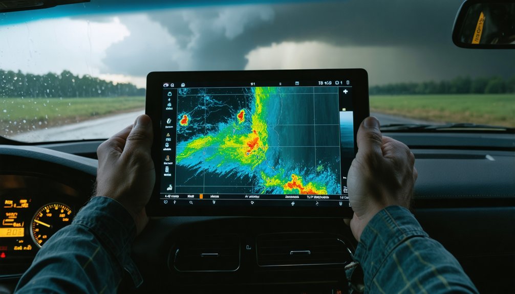
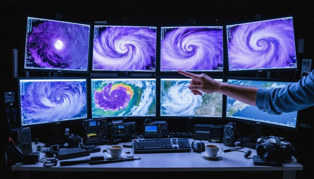
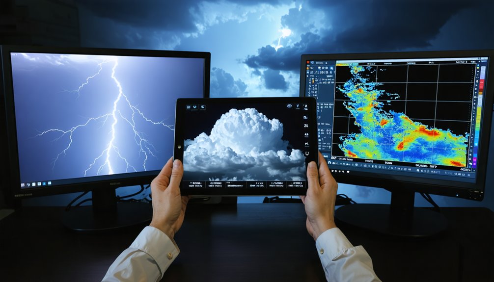
Meteorological data shapes every decision you make in the field. You’re analyzing temperature gradients, moisture levels, wind shear, and surface pressure before you even leave your vehicle. Real-time radar feeds reveal precipitation patterns, hook echoes, and velocity couplets that separate ordinary storms from supercell tornado threats. Ground-level instruments like vehicle-mounted weather stations and handheld anemometers validate what radar shows overhead. Master these data inputs, and your storm intercepts become sharper, safer, and far more precise.
Key Takeaways
- Meteorological data, including temperature, moisture, wind shear, and air pressure, directly drives storm chasing decisions and route planning.
- Radar feeds provide real-time precipitation patterns and rotational signatures, helping chasers distinguish supercells from standard storms.
- Recognized radar signatures like hook echoes and velocity couplets enable warnings with approximately 15-minute lead times.
- Vehicle-mounted weather stations and handheld anemometers complement radar data, providing comprehensive ground-level storm behavior understanding.
- Machine learning rapidly processes radar data mid-chase, refining forecasts and improving storm interception strategies.
How Storm Chasers Use Meteorological Data to Make Field Decisions
When you’re in the field chasing storms, meteorological data drives every decision you make. You’re continuously analyzing temperature gradients, moisture levels, and wind shear to assess tornado probability. Radar feeds display real-time precipitation patterns and rotational signatures, letting you reposition before conditions shift.
Your morning briefing targets specific cities where convective initiation looks favorable. From there, visual cues and radar data determine which storm you’ll intercept. Road networks factor heavily into your routing decisions, since even perfect forecasts fail without viable chase paths.
Whether your storm chasing motivations lean scientific or toward weather tourism’s adrenaline-driven appeal, data literacy separates effective chasers from reckless ones. You’re not guessing — you’re executing calculated, evidence-based decisions that balance atmospheric variables against your own positioning in real time.
What Weather Variables Storm Chasers Track on the Ground
When you’re chasing storms on the ground, you’ll monitor temperature, moisture, wind speed, air pressure, and humidity to assess tornado occurrence likelihood.
You can mount a weather station atop your vehicle to capture continuous atmospheric readings, or use a handheld anemometer for direct wind speed measurement.
These ground-level data points complement radar signatures above, giving you a more complete picture of storm dynamics in real time.
Wind Speed Measurement Tools
Among the meteorological variables storm chasers monitor at ground level, wind speed stands out as one of the most critical. You’ll find two primary tools deployed in the field: vehicle-mounted weather stations and handheld anemometers. Each delivers real-time velocity readings that inform your positioning decisions relative to rotating supercells.
Historical case studies reveal that accurate wind speed measurements have directly influenced researchers’ understanding of tornado intensity gradients. Without proper meteorological training, however, interpreting these readings under rapidly evolving conditions becomes dangerously unreliable.
Vehicle-mounted stations offer continuous automated logging, while handheld anemometers provide targeted spot measurements when you need precise localized data. Both tools feed raw ground-truth values that validate radar-derived wind estimates, ultimately sharpening your analytical picture of storm structure and intensification trends.
Ground-Level Atmospheric Monitoring
Wind speed captures only one slice of the atmospheric picture you need when you’re positioned near a storm. You’ll also need to track air pressure, temperature, and humidity simultaneously to build an accurate ground-level profile. These variables interact dynamically, revealing instability signatures that radar alone can’t confirm.
You’re fundamentally validating numerical prediction models with real-world data—the same models that inform urban planning decisions and climate change adaptation strategies. When pressure drops sharply alongside rising dewpoints, you’re watching conditions that favor tornado development.
Your mounted weather station timestamps each reading, letting you correlate surface observations with radar signatures above.
This ground-truth data isn’t just personally useful—it feeds warning systems that give communities roughly 15 minutes to respond before a tornado strikes.
Vehicle-Mounted Weather Stations
Mounting a weather station atop your vehicle transforms it into a mobile data-collection platform, capturing temperature, moisture, and wind speed readings continuously as you reposition relative to a storm. You’re documenting variables that define the storm lifecycle in real time, adding granularity that static networks can’t provide.
Historical case studies confirm that ground-level mobile data sharpens numerical prediction models when integrated correctly.
Prioritize tracking these three variables:
- Temperature – Identifies boundary layer instability and cold pool boundaries.
- Moisture – Dewpoint readings reveal inflow quality sustaining convection.
- Wind Speed – Exposes rotational gradients and gust front positioning.
Your vehicle becomes an independent sensor node, free from fixed infrastructure constraints, giving you actionable, high-resolution data exactly where it matters most.
Tools Storm Chasers Use to Collect Real-Time Data
Storm chasers rely on a variety of tools to capture real-time meteorological data in the field. You’ll find vehicle-mounted weather stations tracking temperature, moisture, and wind speed, while handheld anemometers provide precise ground-level measurements.
Vehicle-mounted weather stations and handheld anemometers give storm chasers precise, real-time data exactly where conditions are most intense.
Weather radar lets you monitor precipitation and wind activity above the surface, revealing meteorological anomalies that standard forecasting models might miss. In-vehicle radar systems have expanded your ability to chase storms after nightfall, pushing data collection beyond traditional daylight constraints.
Historical patterns suggest that cross-referencing multiple instrument outputs sharpens your situational awareness considerably. High-speed Internet access, even in remote small towns, lets you analyze incoming data streams against numerical prediction models.
Each tool you deploy strengthens the overall dataset, giving you a sharper, more independent understanding of severe weather behavior.
How Radar Signatures Make Storm Chasing More Accurate
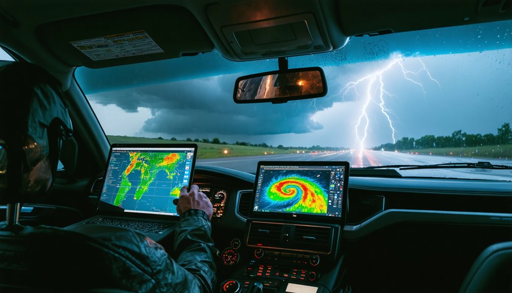
When you analyze radar signatures, you’re interpreting real-time precipitation patterns and wind activity that reveal a storm’s rotational structure and intensity.
Understanding these signatures lets you distinguish a standard thunderstorm from a supercell with tornado potential, sharply improving your prediction accuracy.
Agencies use this same data to issue warnings with roughly 15 minutes of lead time, meaning your ground-truth reports from the field can directly reinforce faster, more reliable public alerts.
Radar Signatures Explained
Radar signatures give storm chasers a critical edge by translating raw electromagnetic data into actionable storm intelligence.
Historical case studies confirm that specific radar patterns reliably precede tornado development, letting you intercept storms with precision rather than guesswork.
Three signatures you must recognize:
- Hook echo – A curved precipitation band indicating mesocyclone rotation and high tornado probability.
- BWER (Bounded Weak Echo Region) – A vault of low reflectivity signaling violent updrafts pulling surface air rapidly upward.
- Velocity couplet – Opposing wind directions detected via Doppler, confirming active rotation.
Storm season patterns reveal these signatures cluster predictably across specific atmospheric setups.
Improving Storm Prediction Accuracy
By integrating hook echoes, BWERs, and velocity couplets into a unified read, you sharpen your predictive accuracy beyond what any single signature delivers alone.
Cross-referencing these signatures against historical case studies reveals recurring pre-tornado patterns, letting you anticipate storm behavior rather than merely react to it.
Meteorological modeling strengthens this further. You’re feeding real-world radar signatures into numerical frameworks that test multiple atmospheric scenarios simultaneously, narrowing your forecast uncertainty with each data pass.
Machine learning algorithms trained on historical datasets now identify signature combinations that precede tornadogenesis with increasing reliability.
The result is actionable intelligence. You’re not guessing—you’re operating from validated, data-driven probabilities.
That operational edge translates directly into smarter positioning decisions, longer lead times, and ultimately, the freedom to chase on your terms without sacrificing situational awareness.
Real-Time Warning Enhancements
Real-time warning systems have fundamentally changed how you interpret radar signatures in the field. With about 15 minutes of lead time currently available, every second counts. Meteorological training sharpens your ability to act on data decisively.
Historical case studies confirm three critical radar-driven enhancements:
- Hook echo identification — Recognizing rotation signatures lets you position yourself advantageously while reporting actionable ground-truth data to warning agencies.
- Velocity data analysis — Tracking wind shear patterns refines your storm-following decisions beyond visual cues alone.
- Machine learning integration — Cloud-computing models now process radar returns faster, tightening forecast precision mid-chase.
You’re not just observing storms—you’re feeding reliable observations back into warning systems. That exchange between field chasers and meteorological agencies directly strengthens public safety outcomes.
Does Chaser Data Actually Contribute to Weather Science?
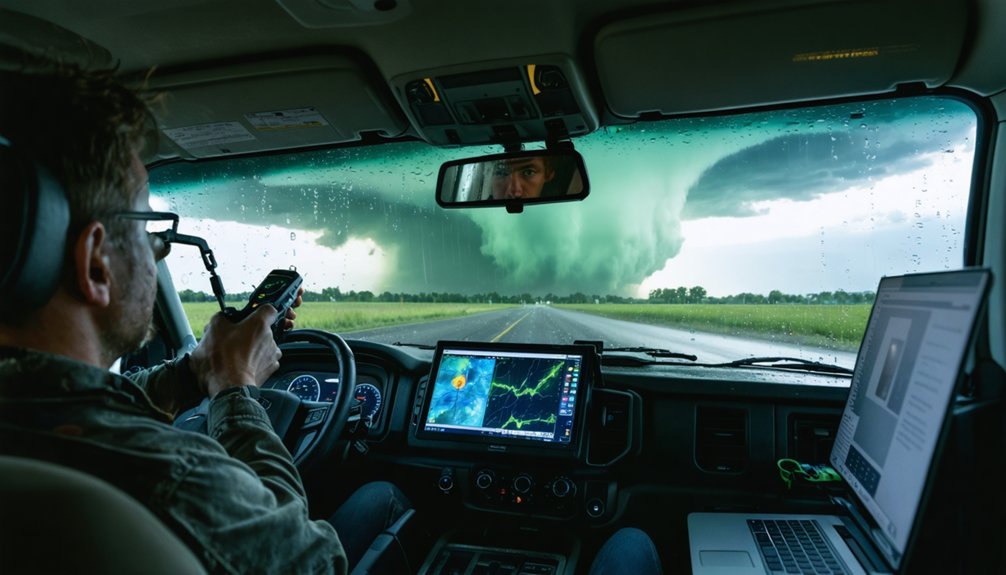
While storm chasers collect temperature, moisture, wind speed, and pressure data in the field, their scientific contributions remain surprisingly limited. Historical analysis reveals fewer than five documented cases where chaser-collected data meaningfully advanced meteorological research. That’s a stark return for the thousands of hours spent in the field.
Data calibration presents another critical barrier. You can’t trust instruments that haven’t been rigorously verified against controlled standards. Chaser-mounted vehicle weather stations and handheld anemometers introduce measurement inconsistencies that undermine analytical reliability. Hard sensor and radar data consistently outperforms field-collected chaser footage and readings.
Approximately 99.9% of chasers pursue storms for personal excitement, not scientific advancement. If you’re seeking genuine meteorological breakthroughs, structured research groups with calibrated instrumentation and systematic data protocols remain your most credible, analytically sound option.
How Storm Chaser Reports Help Issue Faster Tornado Warnings
Despite limited contributions to long-term research, storm chaser reports deliver measurable value in one specific, time-sensitive domain: real-time tornado warning issuance. When you’re in the field, your storm chasing gear and storm chase logistics directly support faster public alerts.
Current tornado warnings average just 15 minutes of lead time. Your ground-level observations can push that window earlier by delivering three critical data points:
Current tornado warnings average just 15 minutes of lead time—your ground-level observations can push that window earlier.
- Confirmed rotation or funnel sightings radar can’t yet distinguish
- Surface wind speed measurements from vehicle-mounted weather stations or handheld anemometers
- Real-time precipitation and pressure anomalies near the storm’s forward flank
Agencies integrate these reports alongside radar signatures, allowing meteorologists to issue warnings with greater confidence and precision. You’re not just chasing—you’re actively contributing to systems that protect lives.
Why Personal Thrills Drive Most Storm Chasers, Not Science
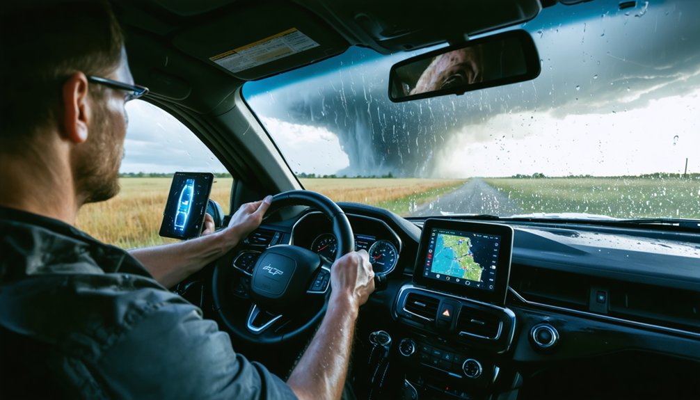
Although the previous section highlights storm chasers’ real-time contributions, the data makes one thing clear: roughly 99.9% of participants chase primarily for personal enjoyment, not scientific advancement. Personal motivation centers on freedom, raw power, and the adrenaline rush of witnessing nature’s most violent atmospheric events firsthand.
Tour operators actively market these experiences as “life-changing adventures,” emphasizing danger and unpredictability as core selling points rather than data collection opportunities. You’re not signing up for calibrated instrument deployment—you’re chasing the feeling.
Scientific contributions from independent chasers remain statistically negligible, with fewer than five documented instances where chaser-collected data meaningfully advanced meteorological research.
Understanding this distinction matters analytically: conflating recreational chasing with structured scientific fieldwork overstates the empirical value most participants actually deliver to atmospheric science.
Frequently Asked Questions
How Do Storm-Chasing Tours Structure Their Meteorological Briefings Each Morning?
You’ll start your morning with a briefing analyzing meteorological patterns through radar and visual data interpretation. You’ll target cities where thunderstorms may form, letting forecasts and road networks drive your storm-chasing decisions freely and strategically.
What Percentage of Storm Chasers Participate Purely for Personal Enjoyment?
Surprisingly, you’re not chasing science—99.9% of storm chasers fuel their personal motivation through pure hobby enthusiasm. You’re drawn by adrenaline, not data, making storm chasing statistically one of nature’s most thrilling freedom-driven recreational pursuits.
How Does Machine Learning Improve Tornado Forecasting and Warning Accuracy?
Machine learning’s boosting your tornado forecasting accuracy by processing satellite imagery and data assimilation rapidly. It’s enabling big computational improvements, helping you analyze atmospheric patterns, refine numerical prediction models, and extend warning lead times beyond the current 15-minute threshold.
Why Is Calibration of Chaser Instruments Considered Unreliable for Scientific Use?
Don’t take it at face value — instrument accuracy suffers because you can’t confirm proper calibration in the field. Without standardized data validation protocols, your chaser-collected readings remain scientifically questionable, limiting their credibility in rigorous meteorological research.
How Do Road Networks Influence Meteorological Decisions During Active Storm Chasing?
When you’re chasing active storms, road accessibility directly shapes your meteorological decisions—you’ll reroute based on radar data and visual cues, avoiding urban congestion to maintain ideal positioning, ensuring you capture critical atmospheric variables without compromising safety or data integrity.
References
- https://www.reddit.com/r/meteorology/comments/1pn87f1/is_storm_chasing_scientifically_beneficial_or/
- https://journals.ametsoc.org/view/journals/wcas/9/3/wcas-d-16-0038_1.xml
- https://en.wikipedia.org/wiki/Storm_chasing
- https://www.usatoday.com/story/opinion/2013/06/05/meteorologist-doesnt-storm-chase-column/2394199/
- https://environment.leeds.ac.uk/icas-research-impact/doc/storm-chasers-making-life-saving-forecasts
- https://www.pbs.org/newshour/science/inside-the-dangerous-and-unpredictable-science-of-storm-chasing
- https://www.weatheradar.com/article/into-the-vortex-the-high-stakes-world-of-storm-chasing-a14
- https://crazystormchasers.com/techniques-for-analyzing-storm-formation-factors/
- https://www.pbs.org/newshour/show/how-storm-chasers-and-meteorologists-are-working-together-to-improve-tornado-forecasts