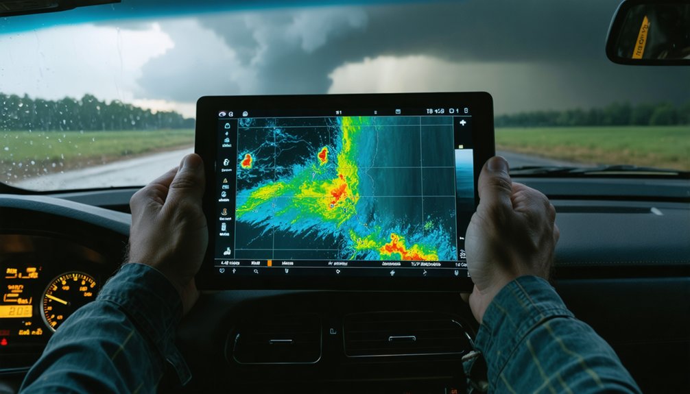
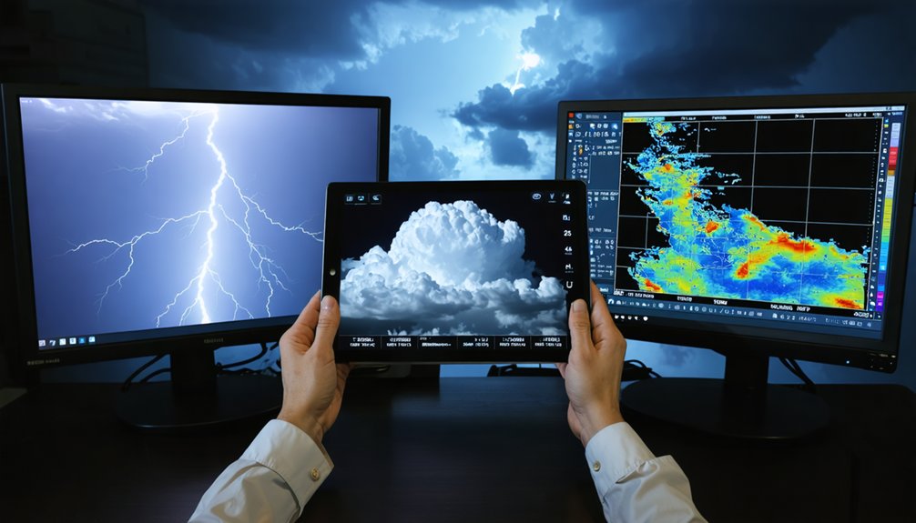
To master weather pattern recognition, you’ll need to analyze CAPE values, dewpoint gradients, wind shear, and boundary zones before every chase. Cross-reference surface maps with SPC mesoscale analysis to pinpoint convergence zones and cap strength interactions. Use HRRR for short-range precision and HREF for ensemble confidence, but never trust a single model blindly. Combine radar signatures, visual cues, and community validation to build genuine forecasting intuition—and there’s far more to each of these strategies than most chasers realize.
Key Takeaways
- Monitor dewpoints and CAPE values together to identify moisture-rich, unstable zones where storm initiation is most likely.
- A moderate cap with moderate forcing favors isolated supercells, significantly increasing tornado potential in targeted areas.
- Use HRRR for short-range storm evolution and HREF ensemble solutions to reduce forecast uncertainty effectively.
- Hook echoes, velocity couplets, and descending wall clouds are critical radar and visual cues confirming active tornado development.
- Cross-verify model outputs with SPC mesoscale analysis, community forums, and real surface data for improved forecast accuracy.
Read the Four Core Ingredients Before Every Storm Chase
Before you commit to a chase day, you’ve got to assess four core atmospheric ingredients: moisture, instability, wind shear, and lift.
Check dewpoints for moisture availability, calculate CAPE values for instability, and analyze wind shear for rotational potential. Without adequate shear, you won’t get the organized supercell structure capable of producing tornadoes.
Lift mechanisms like fronts or drylines trigger the upward motion needed to release instability.
Meanwhile, the jet stream positions upper-level support that enhances storm organization and cloud formation dynamics.
When all four ingredients align favorably, isolated supercells become increasingly likely.
Missing even one element compromises your forecast. Verify each ingredient independently using SPC mesoscale analysis maps before departure.
This disciplined pre-chase evaluation keeps your decisions data-driven and your positioning precise.
Decode Surface Maps to Predict Where Storms Fire
When you analyze a surface map, you’re looking for moisture boundaries — the dew point gradient lines where storm initiation becomes most probable.
You’ll then assess cap strength against available forcing mechanisms, since moderate cap paired with moderate forcing produces the isolated supercell environment you’re targeting.
Match these two elements geographically, and you’ve identified your storm initiation zone before a single cumulus tower appears.
Identifying Surface Moisture Boundaries
Surface moisture boundaries are where the action begins — decode them correctly, and you’ll know precisely where storms are likely to fire. Moisture gradients on surface maps reveal sharp transitions in dewpoint temperatures, marking zones of boundary convergence where storm initiation becomes highly probable. Track these boundaries relentlessly.
- Cross-reference dewpoint gradients with wind shift lines to pinpoint exact convergence zones.
- Monitor boundary movement hourly — a stalling moisture boundary dramatically increases storm potential.
- Overlay surface boundaries with CAPE values to identify where instability peaks along the gradient.
These intersections aren’t suggestions — they’re your operational targets. When boundary convergence aligns with adequate lift and instability, storms don’t just fire randomly; they fire where the data tells you they will.
Reading Cap And Forcing
Decoding cap strength and forcing on surface maps separates productive chase days from busts. You’ll need to assess both variables simultaneously — neither works in isolation.
A moderate cap strength paired with moderate forcing creates the sweet spot for isolated supercell development. Too strong a cap with weak forcing interactions shuts convection down entirely, killing your chase day before it starts.
Pull up SPC’s mesoscale analysis and examine the capping inversion’s intensity relative to available lift mechanisms — fronts, drylines, or outflow boundaries.
When forcing interactions align precisely against a moderate cap, you’re targeting a scenario where storms fire discretely rather than exploding into a chaotic squall line. That discrete mode maximizes your tornado probability and gives you clean, navigable targets worth pursuing.
Which Weather Models Actually Matter for Storm Chasers?
Choosing the right weather models can make or break your chase day, so understanding each model’s strengths and limitations is non-negotiable. Model accuracy varies significantly across forecast windows, and ignoring forecast uncertainty costs you positioning.
Picking the wrong model doesn’t just cost you accuracy — it costs you position when it matters most.
- HRRR: Your go-to for same-day storm evolution; high-resolution, short-range precision.
- HREF: Ensemble-based consensus that reduces uncertainty across multiple model solutions.
- GFS/NAM: Broader synoptic planning for multi-day setups, not storm-scale decisions.
Watch the “Rufus” model carefully — when it deviates aggressively from HRRR and HREF, treat that as a red flag, not a signal. Cross-reference mesoscale analysis maps on the SPC site to ground-truth model output against real surface data.
Models inform your decision; observed reality overrides them.
Spot the Visual Cues That Signal a Tornado Is Near
When the atmosphere is primed to produce a tornado, it telegraphs its intent through a sequence of visual signatures you can read in real time. Watch for inflow bands curving cyclonically toward the storm’s base — that rotation signals an active mesocyclone.
A descending wall cloud, distinct from any shelf cloud, confirms a powerful updraft is concentrating vorticity. Shortly after, a clear slot cutting around the rear flank downdraft marks accelerating tornado formation.
These visual warning signs compound quickly. On radar, confirm what your eyes detect: hook echoes and velocity couplets validate ground-level observations. Don’t wait for a confirmed funnel — the TVS signature and tightening rotation often precede visible contact.
Recognize these sequential cues fast, and you’ll maintain safe positioning without sacrificing critical documentation opportunities.
Master Radar Signatures Every Storm Chaser Must Know
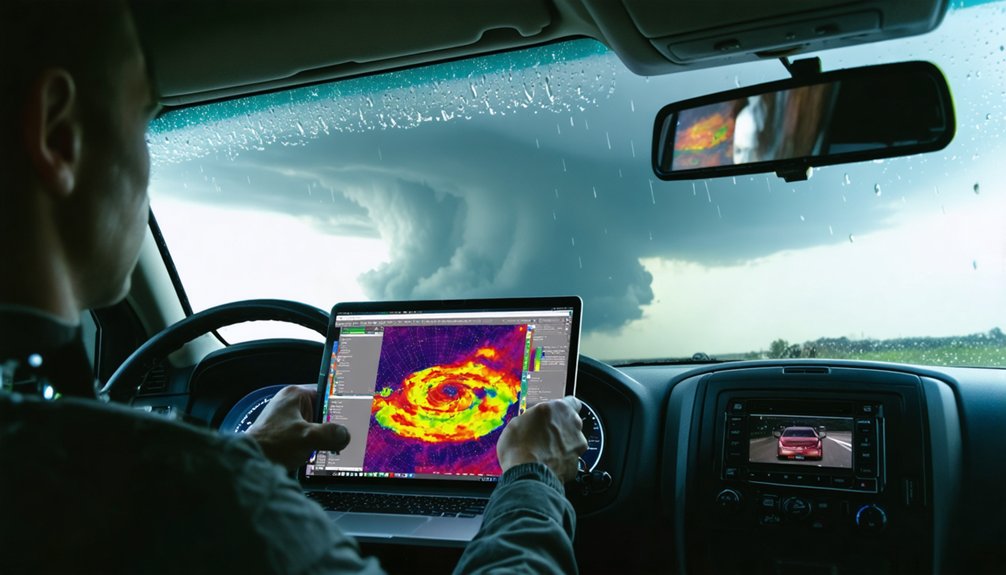
Radar interpretation separates reactive chasers from those who anticipate storm behavior before it unfolds visually. You’ll recognize supercell structure faster by mastering these critical signatures:
- Hook echoes confirm mesocyclonic rotation and often wrap around rain curtains concealing tornadoes.
- Hail signatures appear as high reflectivity cores exceeding 65 dBZ, signaling dangerous large hail regions.
- Velocity couplets and TVS indicators reveal tight rotational couplets demanding immediate positional reassessment.
Cross-reference reflectivity with velocity scans constantly. A hook echo without a strong velocity couplet means rotation remains weak.
Conversely, a tightening couplet with a developing TVS signals imminent tornado production. You’re not just watching pretty colors — you’re reading atmospheric intentions. Own that data, position smartly, and you’ll intercept storms confidently rather than scrambling reactively.
Position Yourself Safely Before Storm Initiation
Arrive at your target zone at least one hour before initiation. That buffer gives you room to adjust without panicking.
Study your escape routes before you commit to a position — know your paved road options both parallel and perpendicular to storm motion.
Your safety gear should be staged and accessible: helmet, first aid kit, and a charged battery pack.
Emergency communication isn’t optional — a ham radio or satellite messenger keeps you connected when cell networks fail.
Watch cumulus development with your own eyes. Surface obs and visible satellite confirm or override earlier model guidance.
Position confidently, but always leave yourself an out.
The SPC Tools and Forums That Sharpen Your Forecast Eye
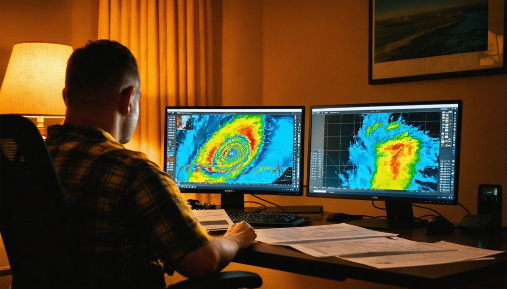
Before you commit to a target, the Storm Prediction Center’s website gives you the analytical foundation to pressure-test your setup. Mesoscale analysis maps display critical shear parameters by region, letting you verify your hodograph reads against real observed data. Pair that with advanced lightning analysis to track convective initiation timing, and you’re operating on confirmed signals, not assumptions.
Before you commit to a target, pressure-test your setup with confirmed signals — not assumptions.
- Mesoscale discussions on SPC break down forecaster reasoning, sharpening how you interpret boundary positioning and cap strength.
- Satellite imagery interpretation reveals cumulus field development and moisture boundaries before radar even registers a storm.
- StormTrack forums deliver expert analysis from chasers who’ve ground-truthed identical setups.
Cross-reference SPC’s outlook products with forum threads daily. You’ll build pattern recognition that no single model run can replicate.
Frequently Asked Questions
How Does Nighttime Storm Chasing Differ From Daytime Storm Chasing Strategies?
At night, you’ll rely less on visual cues and more on radar data, as nighttime visibility drops sharply. Nocturnal patterns shift storm behavior, so you’ve got to prioritize velocity couplets and TVS signatures over direct observation.
What Communication Equipment Should Storm Chasers Carry During Active Tornado Outbreaks?
You’ll need weather radar apps, a ham radio, and NOAA weather radio for real-time data. Carry safety gear including a GPS tracker and mobile hotspot to maintain situational awareness during active tornado outbreaks.
How Do Storm Chasers Coordinate With Local Emergency Management During Severe Weather Events?
You’ll report real-time storm data to local emergency management, supporting their emergency response and risk assessment decisions. Share velocity couplets, TVS signatures, and position updates directly with NWS spotters—your eyes on the ground matter most.
What Legal Considerations Exist When Storm Chasers Operate on Private or Restricted Land?
You must respect trespassing laws and secure legal permits before accessing private or restricted land. Without proper authorization, you’re risking criminal charges that’ll compromise your operational freedom, data collection, and future storm chasing opportunities substantially.
How Does Terrain and Geography Influence Storm Chasing Tactics Across Different Regions?
Like Odysseus steering through treacherous seas, you’ll adapt your tactics to topography effects and regional climate—Plains offer open sightlines, while mountains obscure storm structure, forcing you to reposition aggressively using real-time radar and surface observations.
References
- https://www.stormchasingusa.com/blog/learning-the-basics-about-tornadic-storm-forecasting/
- https://www.facebook.com/groups/470395264442262/posts/1492963092185469/
- https://www.weather.gov/oun/spotterglossary
- https://www.youtube.com/watch?v=5sqsFTBoqqA
- https://www.youtube.com/watch?v=6otZLjSZvPU
- https://www.weather.gov/media/bmx/skywarn/Gerald_Satterwhite_Advanced_WEBPAGE.pdf
- https://www.youtube.com/watch?v=Dkhq73wWMuQ