Maximizing storm chasing success with Doppler radar means switching between Level 3 for rapid targeting and Level 2 for detailed rotation analysis. You’ll want to watch for velocity couplets with gate-to-gate shear ≥ 0.02 sec⁻¹ before TVS signatures form. Cross-reference dual-pol data, flagging CC drops below 0.80 in high-reflectivity cores as confirmed debris signatures. Always prioritize escape routes the moment debris appears. The strategies ahead will sharpen every radar-driven decision you make in the field.
Key Takeaways
- Doppler radar detects frequency shifts in microwaves, providing real-time precipitation intensity, structure, and velocity data throughout a storm’s lifecycle.
- Switch between Level 3 for rapid targeting and Level 2 for detailed structural analysis to optimize tactical storm-chasing decisions.
- Monitor velocity couplets with gate-to-gate wind shear ≥ 0.02 sec⁻¹ to identify developing rotation before Tornado Vortex Signatures form.
- Use dual-pol correlation coefficient drops below 0.80 within high-reflectivity cores to confirm tornadic debris signatures and tornado presence.
- Continuously monitor storm motion vectors and identify perpendicular escape roads, as storm acceleration can rapidly close safe exit windows.
Use Doppler Radar to See What Your Eyes Can’t
When visibility drops or storm features are obscured by rain, hail, or distance, Doppler radar fills the gap by delivering real-time data your eyes simply can’t capture. It detects frequency shifts in returned microwave signals, giving you precise speed and direction estimates across the full storm lifecycle — from early updraft development to mature rotation.
You’re not guessing what’s happening inside that rain-wrapped core; you’re reading it directly. Radar lets you monitor precipitation structure, intensity, and velocity simultaneously, building a complete picture of complex weather phenomena unfolding in real time.
That capability removes your dependence on visual confirmation alone, extending your awareness well beyond line-of-sight limitations. When conditions deteriorate fast, radar keeps you informed, positioned, and in control of your decisions.
Level 2 vs. Level 3 Data: Which Should You Use?
When you need detailed storm structure—tight velocity couplets, subtle rotation signatures, precise reflectivity gradients—Level 2 data delivers the resolution to see it.
Level 3 data sacrifices that resolution for faster, near-real-time availability, making it better suited when your priority is immediate situational awareness over structural detail.
Match your data choice to your conditions: use Level 3 during rapid storm initiation when speed matters most, then shift to Level 2 once you’ve locked onto a target and need precision.
Resolution Versus Real-Time Speed
Choosing between Level 2 and Level 3 radar data isn’t a matter of preference—it’s a tactical decision that directly affects your situational awareness in the field.
Level 2 data delivers superior spatial resolution through advanced signal processing, resolving fine-scale storm structure, tight velocity couplets, and subtle rotation signatures that lower-resolution products miss. Color enhancement tools within Level 2 displays let you distinguish critical gradient zones with greater precision.
However, that detail comes at a latency cost. When storms are rapidly evolving and you need near-real-time positioning data, Level 3 provides faster updates that keep your decision cycle tight.
Your best approach combines both: use Level 3 during initial targeting for speed, then shift to Level 2 when structural analysis and rotation assessment become your operational priority.
Choosing Data For Conditions
Matching data selection to field conditions is where that resolution-versus-speed tradeoff becomes operational. When storm morphology is evolving rapidly—new updrafts firing, rotation tightening—Level 3’s faster refresh keeps you aware without lag. You’ll sacrifice detail, but you’ll maintain situational currency.
Switch to Level 2 when you need precise structural analysis: hook echo definition, velocity couplet geometry, or post-radar calibration verification against observed storm behavior. Level 2 resolves features that Level 3 smooths over, giving you sharper decision inputs during critical intercept windows.
The practical rule is straightforward: use Level 3 to stay oriented, Level 2 to dig into structure. Toggling between both based on storm pace and your positioning needs is what separates reactive chasing from deliberate, analytically driven intercepts.
Build a Pre-Chase Radar Workflow That Actually Works
Before you leave the driveway, a structured pre-chase radar workflow separates informed target selection from guesswork. Cross-reference weather models with SPC outlooks, then validate against radar history to confirm boundaries left by overnight convection.
Before the engine starts, a disciplined radar workflow is what separates a defensible target from a costly guess.
Run through these four steps with your storm chaser gear ready:
- Review prior evening’s radar to identify residual boundaries that favor storm initiation.
- Check SPC mesoscale discussions for the broader severe-weather setup and highlighted target areas.
- Analyze composite reflectivity across multiple radar sources to eliminate blind spots.
- Confirm echo tops and low-level velocity data to assess updraft potential before departure.
This sequence keeps your decisions data-driven, not reactive. You’re not chasing blind—you’re launching with a defensible target and a clear read on developing structure.
Read Velocity Couplets Before the Tornado Forms
Velocity couplets give you a critical lead-time advantage if you’re scanning with purpose before rotation tightens into a tornado. Watch for gate-to-gate wind shear values reaching 0.02 sec⁻¹ or higher — that threshold signals severe rotation developing within the mesocyclone.
Tight couplets in the 40–50 knot range aren’t storm exaggeration; they’re quantifiable evidence that circulation is intensifying before any visible funnel appears.
Work your tilts between 0.5° and 2.4° to track low-level rotation separately from mid-level structure. A couplet strengthening at lower tilts while expanding upward tells you the storm’s organization is accelerating.
Don’t wait for a Tornado Vortex Signature to confirm danger — by that point, your positioning window has already narrowed. Act on early velocity data while your escape routes remain open.
Confirm Rotation and Debris With Dual-Pol Data in Real Time
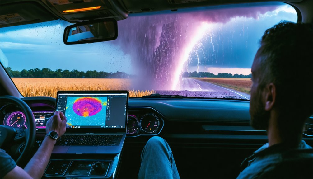
Once you’ve identified a velocity couplet suggesting rotation, dual-polarization data lets you confirm whether that circulation is producing a real tornado by revealing debris lofted into the updraft.
Watch the correlation coefficient (CC) layer closely—a sharp drop below 0.80 within the rotation signature is a strong indicator of a tornado debris signature (TDS), separating meteorological echoes from lofted non-weather material.
Cross-referencing the CC drop with reflectivity and velocity data in real time gives you a high-confidence rotation and debris picture that sharpens your positioning decisions before visibility deteriorates.
Identifying Real-Time Rotation Signatures
When rotation begins tightening in a storm, you’ll want to shift immediately from reflectivity to velocity data and look for gate-to-gate shear values approaching or exceeding 0.02 sec⁻¹, which signal severe mesocyclone development.
Storm shear and wind shear gradients confirm whether circulation is intensifying or collapsing.
Monitor these four indicators in sequence:
- Velocity couplets in the 40–50 knot range indicating early intensification
- Gate-to-gate shear at or above 0.02 sec⁻¹ confirming dangerous rotation
- Correlation coefficient drops revealing debris lofted by a potential tornado
- Dual-pol signatures cross-referenced with reflectivity hook echoes for structural confirmation
Scan every 1–2 minutes. Each update is an independent decision point—treat it accordingly and reposition before the storm dictates your options.
Detecting Tornado Debris Signatures
Dual-polarization radar gives you a critical confirmation layer when velocity data alone isn’t enough to distinguish genuine tornado circulation from noise.
When a tornado lofts debris into the atmosphere, dual-pol products respond in measurable ways. Correlation coefficient drops sharply—often below 0.80—within the circulation core, while reflectivity remains elevated. That combination is your tornado confirmation signal.
Debris detection through this method works even when visibility is completely obscured by rain or dust, giving you actionable intelligence independent of visual contact. Cross-reference the low CC values against your velocity couplet location. If both signatures align spatially, you’re likely looking at a tornadic debris signature.
At that point, reassess your position immediately and prioritize your escape route before continuing any further radar analysis.
Dual-Pol Correlation Coefficient Use
Correlation coefficient doesn’t just confirm debris—it functions as a real-time quality filter across your entire radar interpretation workflow.
Polarization advancements now let you separate legitimate storm echoes from ground clutter, birds, and insects instantly. When CC drops below 0.80 within a high-reflectivity core, you’re likely seeing debris detection in action.
Use CC systematically across four decision points:
- Echo verification – Confirm new reflectivity blips are precipitation, not clutter
- Rotation confirmation – Cross-reference low CC with tight velocity couplets to validate mesocyclone signatures
- Debris identification – Flag CC values below 0.80 inside hook echoes as potential tornadic debris
- Quality control – Eliminate false returns before committing to repositioning decisions
CC keeps your interpretation clean and your decisions defensible.
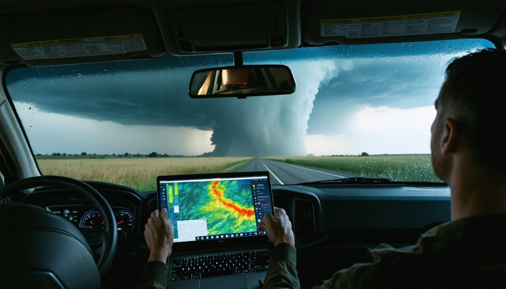
Ground clutter, beam blockage, and sudden visibility loss aren’t just inconveniences—they’re active threats to both data integrity and physical safety. When terrain interference contaminates low-level returns, you’re reading noise as storm structure—a critical misread. Shift to higher tilts or composite reflectivity to recover a cleaner signal.
Beam blockage follows terrain geometry, so know your radar’s limitations before you need them. Cross-reference a secondary radar source to fill coverage gaps when blockage distorts your primary feed.
When visibility collapses—rain-wrapped circulation, dust, or hail fog—you don’t improvise. You execute a pre-planned escape route. Identify perpendicular exit roads before positioning. Monitor storm motion vectors continuously so you’re never caught stationary when a storm accelerates. Your exit window closes faster than your radar refreshes.
Frequently Asked Questions
How Often Should I Update Radar Scans During an Active Chase?
Time is a double-edged sword—update your radar scans every 1–2 minutes during active chasing. You’ll track storm morphology shifts precisely, maintain radar calibration awareness, and turn continuous data into real-time freedom of movement decisions.
What Gate-To-Gate Shear Value Indicates Severe Mesocyclone Rotation?
You’re looking for gate-to-gate shear thresholds at or above 0.02 sec⁻¹ to confirm severe storm rotation. When you spot these shear values tightening, you’ve identified a potentially dangerous mesocyclone demanding immediate repositioning decisions.
Which Radar Tilts Are Most Useful for Tracking Low-Level Storm Features?
Imagine mastering every storm’s secrets — you’ll want tilts between 0.5° and 2.4° for low-level tracking. Through tilt optimization and proper radar calibration, you’re capturing critical low-level features, rotation signatures, and storm evolution with unmatched precision.
Can Radar Boundaries From the Previous Evening Help Predict Storm Initiation?
Yes, you can use radar boundary interpretation from the previous evening to support storm initiation prediction. Boundaries left by earlier convection often signal where atmospheric instability’s concentrated, helping you target tomorrow’s most favorable storm development zones.
How Do SPC Outlooks Complement Radar Data Before Departing on a Chase?
SPC outlooks give you a thousand-mile head start by framing the broader severe-weather setup before radar calibration begins. You’ll use mesoscale discussions to anticipate storm evolution, then cross-reference radar data to refine your target.
References
- https://www.weathercentertx.com/weather-101-different-types-of-weather/storm-chasing-101/
- https://www.youtube.com/watch?v=R193S2lw8n0
- https://www.stormtours.com/information/nowcasting-explained/
- https://crazystormchasers.com/optimizing-doppler-radar-for-storm-chasers-expert-tips/
- https://crazystormchasers.com/top-tips-for-storm-chasers-using-doppler-radar/
- https://www.youtube.com/watch?v=G2upCSLvmks
- https://crazystormchasers.com/how-does-doppler-radar-help-storm-chasers/
- https://crazystormchasers.com/unlocking-the-benefits-of-doppler-radar-in-storm-chasing/



