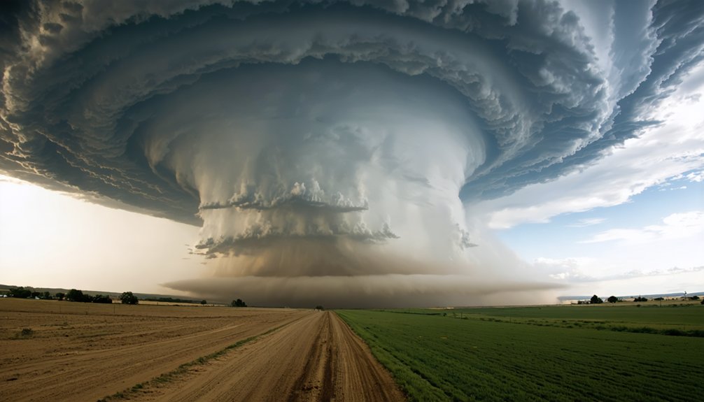
Climate change is rewriting the rules you chase by. Storms now intensify in under 20 minutes instead of 45, compressing your decision windows from hours to minutes. Shifting tornado corridors reduce forecast reliability, while urban sprawl and flood-prone terrain eliminate escape routes. Vehicle accidents, not storms, remain your deadliest threat. AI and mobile radar are helping you adapt, but the full scope of what’s changing demands a closer look.
Key Takeaways
- Climate change accelerates storm intensification, compressing decision windows from 45 minutes to under 20, forcing earlier and riskier operational commitments.
- Shifting tornado corridors and longer seasons stretch forecasting resources, reducing baseline prediction accuracy and complicating storm chaser planning.
- Urban sprawl and flood-prone terrain shrink safe escape routes, increasing chaser fatalities from vehicle accidents and blocked roads.
- AI and mobile radar networks now process atmospheric data in real time, enabling faster go/no-go decisions and improved warning lead times.
- Chasers must adopt redundant escape routes, sub-90-second radar refresh cycles, and hardened equipment to survive increasingly unpredictable storm environments.
How Climate Change Is Rewriting Storm Chaser Risk
As climate change intensifies severe weather patterns, storm chasers are facing a fundamentally altered risk profile that demands new operational thinking. You’re no longer operating within reliable historical patterns — storms develop faster, hit harder, and move unpredictably.
Climate change has rewritten the rulebook — storms are faster, stronger, and far less predictable than historical patterns suggest.
Meteorological shifts are compressing your safe observation windows while expanding tornado activity beyond the traditional central plains into denser, road-network-challenged regions.
You’re also contending with nighttime storm growth, which dramatically reduces visibility and driving safety during intercepts. Flash flooding and hail exposure are increasing across longer seasonal windows, stretching your operational calendar beyond conventional peak months.
These aren’t marginal changes. They’re structural shifts requiring you to treat every deployment with updated risk assessments, redundant escape routes, and faster go/no-go decision cycles based on real-time radar and satellite data.
Stronger Storms, Shorter Windows: What Chasers Are Losing
When you’re tracking a supercell today, you’re facing storm intensification rates that compress your safe observation window from hours to minutes.
Faster development cycles mean you’re simultaneously managing intercept positioning, escape route viability, and real-time radar updates under tighter time constraints than previous generations of chasers encountered.
If your primary corridor floods or gets cut off by a rapid track shift, you don’t have the buffer time that once made secondary routing a manageable fallback.
Faster Storm Development Risks
Stronger storms are compressing the margins that chasers depend on to position safely and exit cleanly.
Historical patterns once gave you predictable development timelines, but intensification rates are accelerating. A storm that previously took 45 minutes to reach peak intensity may now mature in under 20, collapsing your intercept and egress window simultaneously.
Forecast accuracy hasn’t scaled proportionally with storm speed. You’re making go/no-go calls on data that lags behind actual conditions. Faster updraft development means tornado production can precede model guidance by critical minutes. That gap costs you positioning options.
You can’t reclaim lost distance once a storm outruns your escape corridor. Tighter development cycles demand earlier commitment decisions, higher situational awareness, and routes pre-planned for rapid deviation—before conditions force the choice.
Shrinking Safe Observation Windows
The window between safe observation and dangerous proximity is shrinking. Storms now intensify faster, compressing the time you have to position, collect data, and execute a clean exit. What once gave you 15–20 minutes of workable margin can collapse to under five.
Urban sprawl complicates this further. Denser road networks in expanding metros reduce your escape route options precisely when you need flexibility most. You’re steering through traffic signals, pedestrian zones, and congested intersections while a wedge tornado accelerates toward you.
Risk mitigation demands you recalibrate your go/no-go thresholds. Historical positioning strategies built around slower storm evolution are now operationally outdated. You need tighter decision triggers, redundant exit corridors, and real-time radar updates feeding directly into every intercept calculation.
Adaptability isn’t optional—it’s survival arithmetic.
Escape Route Challenges Intensify
Escape routes that once offered margin for error are now failing under compounded pressure. You’re steering roads that weren’t built for rapid storm-driven evacuations, and urban congestion is collapsing your exit windows faster than storm intensification alone.
Road infrastructure buckles under compounding threats:
- Flooded underpasses cut off low-lying corridors within minutes
- Dense suburban grids trap vehicles when multiple escape vectors converge
- Debris-blocked highways eliminate redundant routing options instantly
- Nighttime reduced visibility compounds navigation errors on unfamiliar rural roads
- Rapidly shifting storm trajectories invalidate pre-planned exit sequences mid-intercept
You can’t rely on historical route logic anymore. Storms are pushing into denser population zones where road networks weren’t designed for simultaneous civilian evacuation and emergency response.
Your margin isn’t shrinking gradually—it’s collapsing situationally, without warning.
Why the Southeast Has Become as Dangerous as Tornado Alley
When you chase in the Southeast, you’re operating in terrain that punishes the margin-for-error storms now demand. Denser populations, narrower rural roads, and heavily forested corridors compress your escape options in ways the open plains never did.
Compounding that, Southeast storm tracks are notoriously erratic, forcing you to make faster repositioning calls on road networks that simply weren’t built for rapid intercept maneuvering.
Dense Population, Greater Risk
Shifting storm tracks are turning the Southeast into one of the most hazardous chase environments in the country. Urban congestion and population density create compounding dangers you won’t find across open plains:
- Subdivisions and strip malls replacing clear sightlines and open escape routes
- Highway gridlock trapping chasers when storms accelerate toward metro corridors
- Narrow rural roads flooding faster, cutting off your primary and secondary exits
- Dense tree canopy masking tornado debris signatures until they’re dangerously close
- Mobile home communities concentrated directly within high-risk tornado strike zones
You’re operating inside a system where road networks weren’t built for rapid storm repositioning. Every intercept decision carries heavier consequences when thousands of residents share the same limited evacuation corridors you’re depending on.
Unpredictable Southeast Storm Paths
Southeast storm tracks don’t follow the predictable northeast progression that defines classic Plains supercells. In the Southeast, storm path variability forces you to abandon conventional intercept strategies. Cells frequently jog southward, stall, or accelerate erratically due to complex terrain interactions, Gulf moisture surges, and competing pressure systems.
Southeast unpredictability compounds when you factor in the region’s dense tree coverage and limited sight lines, cutting your visual assessment window dramatically. You’re reading radar more aggressively, making faster repositioning calls with fewer escape route options.
Unlike open Plains highways, southeastern road networks constrain your movement markedly. A storm that shifts 15 degrees south can instantly invalidate your position. You need tighter decision cycles, redundant routing, and real-time radar feeds to maintain any operational safety margin here.
Road Networks Limit Escape
Road networks are why the Southeast has quietly become as dangerous as Tornado Alley—arguably more so in certain corridors. You’re not chasing across open Kansas plains anymore—you’re threading through dense suburban grids where road congestion eliminates your margin entirely. Route optimization isn’t optional; it’s survival arithmetic.
- Two-lane highways dead-end into flooded river bottoms
- Interstate on-ramps lock up under mass evacuation orders
- Rural county roads disappear under debris fields within minutes
- GPS routing fails when storm-blocked roads aren’t updated in real-time
- Bridge closures cut entire escape quadrants simultaneously
When a storm accelerates southeast at 50 mph, you need clean exits—not gridlocked suburban sprawl.
The Southeast’s infrastructure wasn’t engineered for rapid storm-chaser egress, and that gap between road design and storm behavior is where chasers die.
The Deadliest Threat Storm Chasers Face Isn’t the Storm
When storm chasers die in the field, a vehicle accident is far more likely to be the cause than a tornado. Meteorological misconceptions fuel the false belief that the storm itself is your greatest threat. Statistically, it isn’t. Wet roads, reduced visibility, high-speed repositioning, and fatigued decision-making kill more chasers than violent winds do.
Chase safety demands you treat every drive as a high-risk operation, not just the final intercept. Climate change compounds this. Faster-developing storms force quicker repositioning decisions, compressing your reaction time behind the wheel. Denser road networks in newly active regions add unfamiliar terrain to that pressure.
You can’t outrun a bad road choice. Rigorous pre-mission route analysis and strict speed discipline aren’t optional protocols—they’re survival requirements.
Safety Protocols Storm Chasers Now Use for Faster-Moving Threats
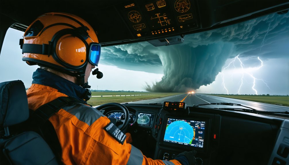
Faster storm development is compressing the decision windows that chasers once relied on to reposition safely. Risk management now demands protocol shifts that match the accelerated threat environment. Safety innovations are reshaping how you operate in the field.
Your updated operational framework should include:
- Pre-intercept route audits identifying at least two escape corridors before positioning
- Mandatory go/no-go checkpoints every 15 minutes as storm motion accelerates
- Real-time radar refresh cycles under 90 seconds to track rapid intensification
- Flood-risk overlays integrated into navigation systems before entering low-clearance roads
- Team communication checks triggered automatically when storm speed exceeds 40 mph
These aren’t suggestions — they’re survival mechanics. Faster storms don’t forgive hesitation, and your freedom to operate depends entirely on your discipline to exit before conditions foreclose that option.
When Equipment Fails Mid-Chase Under Extreme Conditions
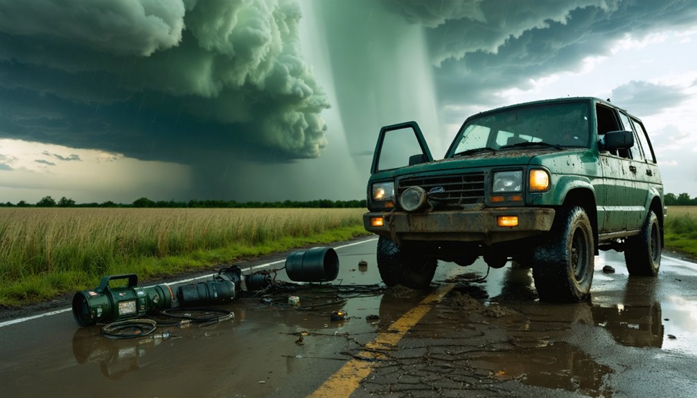
Disciplined protocols protect you from the storm, but they can’t fully protect your equipment. Under extreme conditions, hail shreds camera housings, debris jams sensor arrays, and moisture infiltrates mobile lab systems mid-intercept. Equipment failure at the wrong moment strips your situational awareness precisely when you need it most.
You can’t rely on a single data stream. Redundant radar feeds, backup power systems, and hardened transmission hardware aren’t optional extras—they’re operational necessities. When your primary display goes dark, your secondary system buys you the decision window that keeps you mobile and safe.
Maintenance discipline between deployments directly reduces mid-chase failures. Accelerated wear from repeated extreme-condition exposure means inspection cycles must shorten. Your equipment’s reliability is your autonomy in the field—protect it accordingly.
Why Climate Change Is Making Storm Forecasting Less Reliable
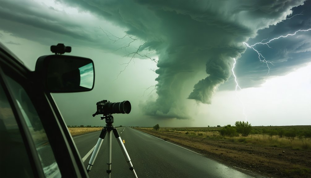
Equipment failure costs you situational awareness, but climate change is degrading the data before it even reaches your screens. Warmer, wetter atmospheres generate more volatile storm behavior, compressing your decision windows and multiplying meteorological uncertainties at every stage of a chase.
Here’s what’s actively undermining data reliability in the field:
- Faster storm intensification outpaces model update cycles
- Shifting tornado corridors beyond historical Tornado Alley reduce baseline accuracy
- Longer seasons stretch forecasting resources across unplanned deployments
- Overlapping outbreak clusters overwhelm radar interpretation and targeting logic
- Erratic storm motion forces continuous real-time corrections, not pre-mission planning
You can’t chase what you can’t accurately predict.
As climate patterns restructure severe weather behavior, your forecasting tools are perpetually playing catch-up against conditions they weren’t originally calibrated to handle.
How AI and Mobile Radar Are Reshaping Storm Chasing Decisions
When you’re making split-second intercept decisions in a rapidly evolving storm environment, AI-driven prediction models give you a critical edge by processing atmospheric variables faster than any manual analysis can.
You can now deploy mobile radar networks to capture high-resolution storm structure data in real time, filling observation gaps that fixed installations miss.
Feeding that radar output directly into machine learning models lets you continuously refine your go/no-go decisions as storm behavior shifts on the ground.
AI Improves Storm Prediction
How quickly a supercell shifts from organized rotation to a tornadic threat can determine whether you intercept safely or scramble for an escape route—and that decision window is shrinking. AI models now process radar feeds, satellite streams, and storm-chase field data simultaneously, cutting your reaction lag markedly.
- Mesocyclone signatures flagged seconds faster than manual radar scanning
- ML models trained on historical intercepts predicting track deviations near urban sprawl
- Microclimate effects from heat islands detected earlier in storm initialization data
- Probability cones updated dynamically as atmospheric instability indices shift
- Tornadic wind-shear thresholds calculated in real time against your GPS position
You’re no longer relying solely on visual storm structure. AI hands you a sharper analytical edge precisely when deteriorating visibility and compressed timelines make independent judgment most dangerous.
Mobile Radar Enhances Observation
Mobile radar platforms now let you resolve storm-scale features that fixed WSR-88D networks miss entirely. Deployable systems like DOW units sample hook echoes, rear-flank downdrafts, and low-level wind shear at ranges under two kilometers, giving you structural data that stationary infrastructure can’t capture.
Pair that resolution with satellite imaging, and you’re tracking mesoscale convective evolution across multiple data layers simultaneously.
Data visualization tools then translate raw dual-polarimetric returns into actionable intercept intelligence within seconds. You’re not guessing at storm motion—you’re reading rotational velocity gradients in near-real time.
Mobile radar networks also fill spatial gaps during large outbreak events when single-site coverage degrades. That redundancy protects your positioning decisions and sharpens go/no-go calls before escape corridors close.
Real-Time Data Integration
Raw radar resolution only gets you so far—what converts that structural data into sharp intercept decisions is how quickly and accurately it integrates with AI-driven prediction models. When you’re in the field, meteorological models processing live feeds give you decision authority that static forecasts can’t match.
Real-time integration sharpens your operational edge through:
- AI filtering flagging rotation signatures before visual confirmation is possible
- Data validation cross-referencing multiple radar sweeps to eliminate false echoes
- Satellite overlays updating storm motion vectors every 60 seconds
- Automated alerts triggering route recalculations when storm trajectories shift unexpectedly
- Bandwidth-managed transmissions keeping your mobile lab connected during peak atmospheric interference
You’re not just chasing storms anymore—you’re running parallel data streams that keep your decisions faster than the storm’s evolution.
How Storm Chaser Data Gets Translated Into Public Warnings
When storm chasers collect radar returns, GPS tracks, and visual confirmation of rotation or touchdown, that data doesn’t stay in the field — it feeds directly into National Weather Service warning operations. You’re contributing to a pipeline where raw field observations get cross-referenced against WSR-88D radar signatures and mesoscale discussion threads.
Forecasters use data visualization tools to overlay your GPS tracks, hail reports, and damage markers onto live radar composites, tightening polygon boundaries and extending warning lead times. That precision directly supports risk mitigation for communities in the storm’s path.
Machine learning models increasingly assimilate chase-sourced data to refine short-term probabilistic forecasts. Every confirmed tornado report you submit compresses the gap between detection and public alert, giving people the independent decision-making window they need to act on their own terms.
What Storm Chasing Looks Like as Climate Change Accelerates
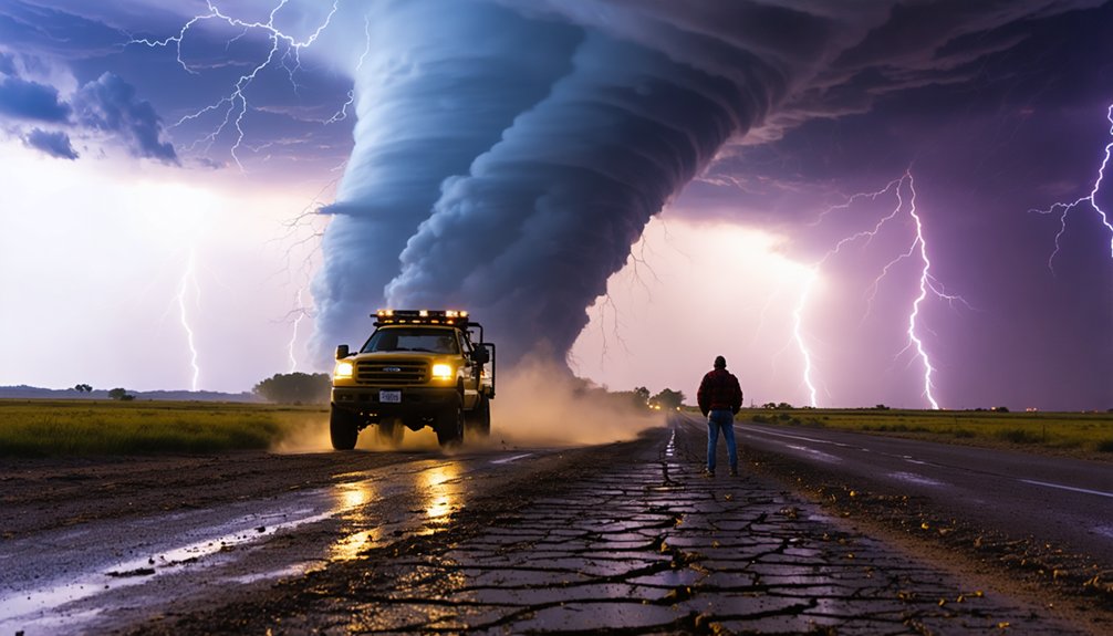
As climate change accelerates, the operational landscape for storm chasers is shifting in ways that compress decision windows and expand geographic exposure. Urban expansion and coastal shifts are pushing storm activity into denser, harder-to-navigate regions, forcing you to adapt your protocols fast.
You’re now facing:
- Faster storm intensification that shrinks your safe intercept window
- Nighttime tornado activity that cuts visibility and multiplies driving risk
- Road networks in unfamiliar urban corridors that limit escape route options
- Coastal shifts driving severe cells into flood-prone, low-elevation terrain
- Longer active seasons that stretch your equipment, mental focus, and fuel budget
Your margins are tighter. Your targets are moving. The data demands faster reads, and the field demands faster decisions.
Frequently Asked Questions
How Do Storm Chasers Fund Their Operations and Equipment Costs?
Over 60% of chasers self-fund operations. You’ll typically secure equipment funding through grants, university sponsorships, or media contracts. You’re combining personal investment with institutional backing to sustain storm tracking across increasingly demanding and expensive field deployments.
Can Amateur Storm Chasers Get Certified Training for Climate-Changed Conditions?
You can access certified storm chasing safety programs through organizations like Spotter Network and NWS SkyWarn. These courses incorporate updated weather prediction techniques, helping you adapt to faster-developing, unpredictable storms driven by climate-changed atmospheric conditions.
How Does Storm Chasing Affect Local Communities and Emergency Response Efforts?
Over 70% of tornado warnings now rely on chase data. You’re directly shaping community impact by feeding real-time intel to forecasters. But you can also strain emergency response by congesting evacuation routes during active intercepts.
Are There Legal Restrictions on Where Storm Chasers Can Operate?
You’ll face few formal legal restrictions, but you must respect road closures and emergency zones. Operating permits aren’t typically required, though trespassing laws, traffic regulations, and law enforcement directives can limit your access during active incidents.
How Do Storm Chasers Coordinate With Each Other to Avoid Collisions?
You coordinate through real-time radio communication, shared GPS tracking apps, and storm tracking platforms. You’d follow strict safety protocols, broadcasting your position frequently, monitoring convoy spacing, and executing go/no-go decisions rapidly to prevent dangerous convergence near active storm intercepts.
References
- https://environment.leeds.ac.uk/icas-research-impact/doc/storm-chasers-making-life-saving-forecasts
- https://atmos.earth/science-and-nature/warming-skies-have-triggered-a-new-era-of-unpredictable-storms/
- https://crazystormchasers.com/climate-change-and-the-future-challenges-for-storm-chasers/
- https://crazystormchasers.com/exploring-storm-chasing-and-climate-change-impacts/
- https://www.cosmopolitan.com/lifestyle/a39895714/storm-chasers-climate-change/
- https://crazystormchasers.com/preparing-for-climate-change-storm-chasers-mission-consequences/