Real-time storm tracking means you’re continuously pulling live radar data, mesoscale analysis, and lightning trends to make split-second decisions in the field. You’ll start with model platforms like Pivotal Weather to identify target zones days out, then refine your selection using the Storm Prediction Center‘s mesoscale parameters. Tools like RadarScope give you dual-pol data and storm-relative velocity when it counts most. The sections ahead break down every layer of this process.
Key Takeaways
- RadarScope provides real-time dual-pol radar, storm-relative velocity, and multi-elevation analysis, making it the top app for active storm pursuit.
- Layer cellular boosters with Starlink satellite connectivity to maintain uninterrupted data flow in remote, infrastructure-limited chase environments.
- Analyze SPC mesoscale data for wind shear, instability, and moisture convergence to identify and prioritize the strongest storm candidates.
- Storms can split or accelerate suddenly, requiring continuous RadarScope monitoring and immediate intercept angle recalculations for safe route adjustments.
- Pre-chase model analysis using Pivotal Weather and College of DuPage identifies target zones days before departure, enabling disciplined planning.
What Is Real-Time Storm Tracking?
Real-time storm tracking is the continuous monitoring of active weather systems using live radar data, mesoscale analysis, and mobile applications to make split-second navigation decisions.
You’re processing atmospheric data streams while simultaneously managing vehicle positioning, communication infrastructure, and target evaluation. It demands technical precision and sharp weather forecasting psychology — understanding not just what the data shows, but how quickly conditions will evolve.
You’ll rely on tools like RadarScope for high-definition radar returns and the Storm Prediction Center’s mesoscale analysis to assess pressure and wind parameters instantly.
Storm chasing ethics also factor into real-time decisions, ensuring your pursuit doesn’t compromise public safety or emergency response operations.
Ultimately, real-time tracking transforms raw atmospheric data into actionable intelligence, giving you the freedom to intercept storms efficiently and responsibly.
Read Weather Models Before You Chase
Before you’re actively chasing a storm, you’re building the strategic framework that makes real-time tracking effective. Weather forecasting starts with model analysis, giving you a rough target zone days in advance.
Use Pivotal Weather and the College of DuPage Model Viewer to assess atmospheric dynamics — pressure gradients, wind shear, moisture profiles. These platforms deliver the data density you need to define viable chase corridors before you’re behind the wheel.
The Storm Prediction Center’s mesoscale analysis tightens your target selection, consolidating critical parameters into rapidly digestible maps. You’re not guessing — you’re narrowing probability zones based on hard data.
Lock in your target area early. Models shift, so reassess frequently. The chasers who move efficiently do so because their pre-chase analysis is disciplined, systematic, and precise.
How to Pick Your Target Storm
Once you’ve established a rough target area from your models, pull up the Storm Prediction Center’s mesoscale analysis to evaluate critical atmospheric parameters like shear, instability, and moisture convergence.
You’ll use these maps to assess each storm’s positioning relative to boundaries and wind fields, filtering out weaker candidates fast.
As conditions evolve, you’ll need to continuously cross-reference radar data with updated mesoscale parameters to adjust your target in real time.
Analyzing Mesoscale Parameters
When it’s time to pick your target storm, the Storm Prediction Center’s mesoscale analysis is your fastest path to actionable data. This tool consolidates every critical atmospheric parameter into a single, digestible interface, letting you evaluate pressure gradients, wind shear, and moisture levels without toggling between multiple platforms.
Pull up the mesoscale analysis and scan for convergence zones where instability and shear align. Those intersections define your highest-probability target areas. Cross-reference CAPE values, helicity readings, and surface boundaries simultaneously to narrow your focus quickly.
Don’t overthink it. The data’s already organized for rapid interpretation. Your job is identifying which parameters overlap within a manageable chase distance. Once you’ve pinpointed that intersection, commit to your target and start moving. Hesitation costs position.
Evaluating Storm Positioning
How your storm performs relative to others in the region determines whether you’re chasing or watching. You’re evaluating positioning by cross-referencing mesoscale analysis data against real-time radar returns to identify which cell holds the strongest potential.
Wind shear profiles tell you whether your candidate storm can sustain rotation or collapse under its own outflow. A cell operating in a high-shear environment with backed surface winds is immediately more valuable than one sitting in marginal parameters.
Layer in hail prediction data from your SPC analysis to confirm the storm’s updraft intensity. Stronger updrafts signal better organization and longer storm life.
You’re not chasing every storm — you’re selecting the one with the optimal combination of positioning, shear, and thermodynamic support. Make that decision early and commit.
Real-Time Target Adjustments
Committing to a storm doesn’t mean locking in permanently — radar dynamics shift fast, and your initial target can deteriorate within minutes. Monitor storm behavior continuously and stay ready to pivot. Use RadarScope to assess rotation trends and mesoscale analysis to track shifting atmospheric patterns.
When reassessing your target, evaluate:
- Inflow strength — weakening inflow signals storm collapse
- Updraft structure — ragged tops indicate instability loss
- Storm motion vectors — unfavorable movement cuts off your intercept angle
- Competing convection — adjacent storms can steal moisture and energy
Cross-reference the Storm Prediction Center’s real-time parameters against what you’re seeing on radar. Don’t chase sunk-cost logic — if a stronger candidate emerges on your display, redirect immediately and recalculate your intercept route.
Best Radar Apps for Active Storm Chasers
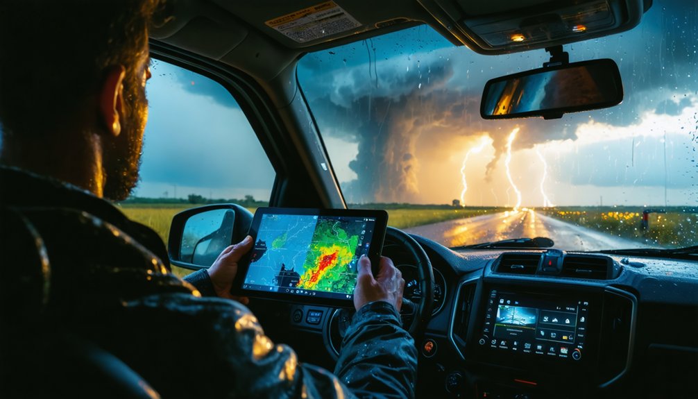
Once you’ve locked in your target storm, your radar app becomes your most critical real-time tool. RadarScope leads the field for active chasers, delivering high-definition radar data and advanced analytical features that outperform competing apps during fast-moving pursuits.
While RadarOmega suits passive monitoring, you’ll want RadarScope’s precision and responsiveness when you’re actively closing in on a storm.
Top Active Chasing Apps
When you’re actively chasing, your radar app can be the difference between intercepting a storm and losing it entirely. You need tools that deliver precise, real-time data without lag.
Here are the top apps built for active pursuit:
- RadarScope – High-definition radar with dual-pol data, satellite imagery overlays, and lightning detection integration make this the gold standard.
- RadarOmega – Solid for monitoring but better suited for armchair analysis than active field chasing.
- Storm Shield – Delivers customizable severe weather alerts for tornadoes and flash floods instantly.
- MyRadar – Free, wide-area radar compilation useful for quickly scanning broad precipitation fields.
RadarScope dominates active chasing because its lightning detection and satellite imagery layers give you complete situational awareness while moving at speed.
Real-Time Radar Features
What separates a useful radar app from a critical one comes down to data latency, layer depth, and rendering speed under field conditions. RadarScope delivers on all three, giving you dual-pol products, storm-relative velocity, and tilt-by-tilt analysis that directly support storm forecast accuracy. You’re not guessing—you’re reading verified, calibrated returns.
Radar calibration matters because uncalibrated data skews reflectivity values, distorting your read on precipitation intensity and rotation signatures. RadarScope’s beam tilt controls let you cross-reference multiple elevation angles instantly, tightening your situational awareness mid-pursuit.
RadarOmega works if you’re monitoring from a fixed location, but it lags behind in field responsiveness. When you’re closing on a supercell, rendering delays cost you positioning time. Choose tools that match your operational tempo.
RadarScope vs RadarOmega: Which One Wins?
For active storm chasers, RadarScope dominates RadarOmega on nearly every technical metric that matters in the field. When you’re pursuing a violent supercell, you need precision tools that won’t fail you. Here’s how they stack up:
- Resolution: RadarScope delivers HD radar data, revealing detailed storm structure that RadarOmega can’t match.
- Speed: RadarScope refreshes faster, giving you real-time positioning advantages during rapid storm evolution.
- Lightning patterns: RadarScope integrates lightning data more effectively, helping you anticipate dangerous strike zones.
- Field reliability: RadarOmega suits armchair monitoring; RadarScope is built for active pursuit.
You’re not chasing from your couch. RadarOmega works for basic oversight, but when freedom of movement and split-second decisions define your chase, RadarScope wins without debate.
Gibson Ridge, WeatherTap, and the Desktop Tools Chasers Use
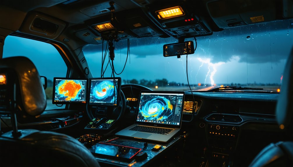
Mobile apps like RadarScope dominate in the field, but once you’re back at base or running a more complex setup, desktop platforms carry the analytical load. Gibson Ridge—specifically GR Level 3 and GR 2 Analyst—gives you deep radar interrogation capabilities on Windows, letting you dissect storm structure with precision that mobile apps can’t match. You’ll analyze rotation, velocity, and reflectivity layers without compromise.
WeatherTap runs directly in your browser, making it compatible with standard PCs and Chromebooks. It’s ideal for continuous radar monitoring without heavy software installation.
Pair these tools with lightning detection overlays, and you’ve got a complete situational picture. Desktop platforms process complex data streams faster, giving you the analytical freedom to make confident, informed targeting decisions before you ever hit the road.
Mount Your Booster, Dish, and Camera Before You Chase
Before a single storm fires on radar, your vehicle’s roof needs three critical systems locked in place: a cellular booster, a Starlink dish, and your camera array. Mount them before departure—not roadside during active pursuit.
Before the first storm fires, your roof needs three systems locked in—cellular, satellite, and cameras. Mount them now.
Follow this pre-chase hardware sequence:
- Install your WeBoost Drive Reach Overland for cellular amplification in dead zones.
- Secure the Starlink dish for high-speed satellite data transmission to your backseat computer.
- Position Obsbot Tiny cameras to capture continuous storm evolution footage.
- Review drone deployment safety protocols, confirming airspace clearance and wind thresholds before launch.
Each system feeds your mobile command setup independently. If one fails, you’re operating blind. Verify connections, run signal tests, and confirm data flow before you roll.
Freedom means being prepared—not improvising under a rotating wall cloud.
Stay Connected in Dead Zones During a Chase
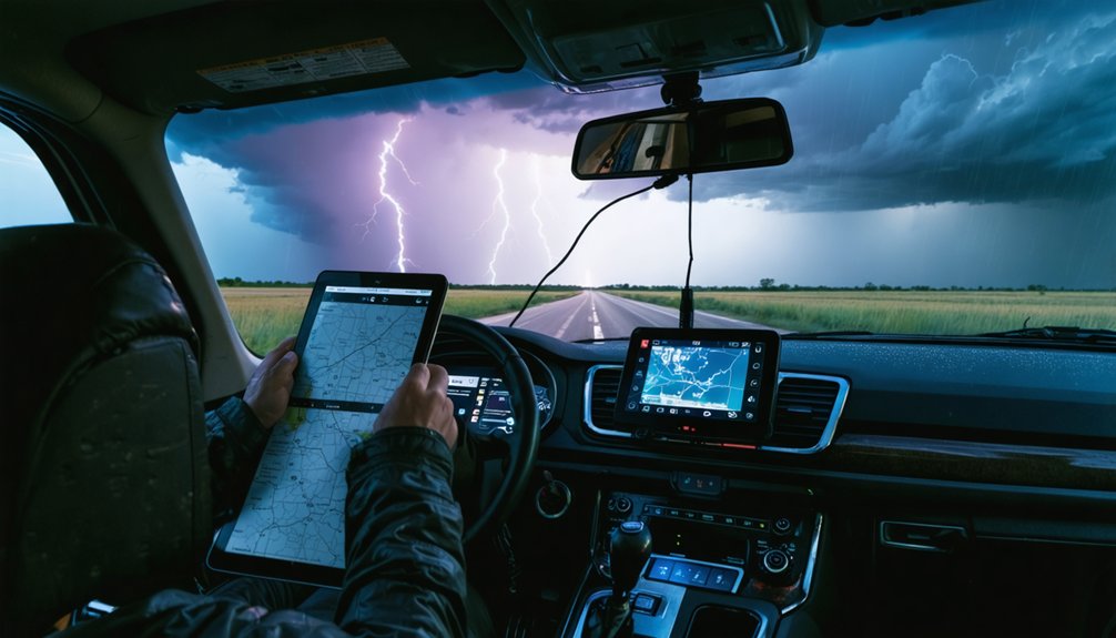
Dead zones don’t announce themselves—your signal drops mid-chase, and suddenly you’re blind to the latest radar sweep. That’s why layering your connectivity tools isn’t optional; it’s tactical.
Your WeBoost Drive Reach Overland pulls in weak cellular signals and amplifies them, keeping data flowing through marginal coverage areas. When cell infrastructure disappears entirely, your Starlink dish takes over, delivering high-speed satellite imagery and live radar without depending on towers you can’t control.
Pair both systems with a lightning detection app to monitor electrification trends even when radar refresh rates lag. Lightning data streams independently, giving you a real-time storm intensity indicator when other feeds stall.
You’re not tied to civilization’s infrastructure—you’re free to push deeper into the target zone without losing situational awareness.
Adjust Your Route When Storms Change Fast
Storms don’t wait for you to recalculate—when a supercell accelerates, wobbles, or splits, your route has to respond in seconds, not minutes. Weather variability demands that you stay locked into live radar rather than a predetermined path. Use RadarScope to monitor storm pattern shifts continuously while driving.
When conditions force a route change, prioritize these four actions:
- Pull updated mesoscale analysis from the Storm Prediction Center immediately
- Cross-reference radar data with current wind and pressure parameters
- Recalculate intercept angles based on the storm’s adjusted forward speed
- Confirm road options using maps before committing to a new heading
Your flexibility determines your success. Static plans fail in dynamic environments—let real-time data drive every decision you make behind the wheel.
Frequently Asked Questions
What Budget Should Beginners Expect When Starting Storm Chasing Equipment?
You’ll need $500–$2,000 for equipment essentials like RadarScope, Storm Shield, and MyRadar subscriptions. Cost considerations rise considerably if you’re adding a cellular booster or Starlink dish, so prioritize apps before investing in advanced hardware.
How Do Storm Chasers Stay Safe When Tornadoes Change Direction Suddenly?
When tornado behavior shifts unpredictably, you’ve got to monitor RadarScope’s real-time data continuously. Apply strict safety precautions by maintaining escape routes, tracking storm movement vectors, and repositioning immediately when rotation indicators signal directional changes.
Can Storm Chasing Be Done Effectively Without a Dedicated Chase Partner?
You can chase solo, but it’s tough. Solo navigation demands you’re simultaneously monitoring RadarScope, managing mesoscale data, and driving. Risk assessment becomes critical—you’ll lack a second observer, increasing your vulnerability during rapid storm direction changes.
What Legal Permits or Licenses Do Storm Chasers Need to Operate?
You don’t need specific permits, but you’ll want to analyze licensing regulations in each state you’re chasing. Confirm your insurance requirements cover high-risk driving scenarios, protecting your freedom to operate without costly legal interruptions.
How Do Chasers Document and Report Storm Data to Meteorological Agencies?
Like a field scientist freed, you’ll capture storm data collection through RadarScope and Gibson Ridge, then follow reporting protocols by submitting findings directly to the Storm Prediction Center, ensuring your real-time observations fuel critical meteorological analysis freely.
References
- https://www.youtube.com/watch?v=Sr2lz72ZYwM
- https://play.google.com/store/apps/details?id=com.ml.TXSC&hl=en_US
- https://www.reddit.com/r/stormchasing/comments/1cljsun/storm_tracking_software/
- https://crazystormchasers.com/storm-chaser-weather-monitoring-apps/



