Your storm chasing app stack determines whether you’re ahead of a storm or caught off guard. You’ll need real-time, high-resolution radar from tools like RadarScope, lightning detection through apps like Echoes Weather, and forecasting models via PivotalWeather. Free apps won’t cut it for serious field work—premium tiers provide the Doppler feeds, dual-pol products, and layered alerts that keep you safe. The right combination of tools makes all the difference.
Key Takeaways
- RadarScope and RadarOmega offer professional-grade Doppler data, dual-pol products, and high-resolution radar essential for accurate storm analysis.
- Premium apps unlock critical features like advanced lightning detection, velocity data, and warning polygons that free versions lack.
- GPS-integrated tools sync your position with live radar, warning polygons, and surface observations for precise real-time navigation.
- Combining RadarScope, PivotalWeather, and NOAA SPC creates a layered app stack for comprehensive storm tracking and safety.
- Lightning detection apps like Echoes Weather signal storm strengthening before rotation develops, providing crucial early warning during pursuits.
What Separates a Useful Storm Chasing App From the Rest
Not all storm chasing apps are built equal, and the gap between a useful one and a mediocre one becomes obvious fast when you’re in the field with a tornado-warned cell bearing down. You need storm visualization that renders fast, scales cleanly, and doesn’t lag when conditions are deteriorating rapidly.
Data accuracy is non-negotiable. An app pulling outdated or low-resolution radar data can put you in the wrong position at the worst possible moment. The best apps pull directly from official NWS and NOAA sources, update in near real-time, and layer multiple data streams without cluttering the interface.
You also want seamless integration of lightning detection, warning polygons, and GPS positioning. Those combined features separate tools that genuinely support decision-making from apps that simply look impressive on a phone screen.
Free vs. Premium Storm Chasing Apps: What You Actually Get
Free apps get you into the game, but they’ll hit a ceiling fast when severe weather demands more than surface-level data. MyRadar and Pykl3 offer solid entry points, giving you radar overlays and warning polygons without cost.
Free apps open the door—but severe weather will slam it shut before you get the data you need.
But when you’re analyzing storm formation mechanics in real time, free tiers strip out the resolution you need.
Premium tools like RadarScope, HazWX, and RadarOmega unlock high-resolution Doppler feeds, advanced weather pattern analysis layers, and integrated lightning data. You’re not paying for convenience—you’re paying for operational accuracy.
A missed mesocyclone signature or delayed NWS alert sync isn’t an inconvenience; it’s a liability.
If you’re serious about chasing, treat premium subscriptions as gear, not luxuries. The data gap between free and paid is exactly where decisions get dangerous.
Best Radar Apps for Storm Chasers Right Now
When it comes to radar apps that actually hold up in the field, RadarScope leads the pack. It delivers high-resolution Doppler data that lets you analyze storm intensity with surgical precision across iOS, Android, and Windows 10.
Three apps worth having in your toolkit:
- RadarScope – professional-grade storm structure analysis with NWS warning polygon overlays
- MyRadar – fast-loading maps with customizable overlays for tracking shifting weather patterns
- RadarOmega – specialized visualization tools built specifically for severe weather monitoring
Each app serves a distinct operational role. You’re not choosing one over the others—you’re building a layered system. Cross-referencing storm intensity data across platforms gives you a sharper situational picture, letting you make faster, more confident decisions when conditions escalate rapidly.
Lightning Detection Apps That Give You the Early Warning
Lightning data isn’t just supplementary—it’s a direct proxy for storm intensification, and having it integrated into your mobile stack can compress your reaction time considerably.
RadarScope, Echoes Weather, and Simuawips each deliver real-time strike mapping, letting you correlate lightning frequency with radar reflectivity for sharper storm prediction.
When strike rates accelerate, you’re watching a storm’s electrical engine rev before rotation fully develops. That pattern recognition is core to lightning safety—it keeps you ahead of the threat rather than reacting to it.
Echoes Weather consolidates radar, satellite, and lightning into one interface, eliminating the need to toggle between platforms under pressure.
Simuawips mirrors that capability with added model integration. Either way, you’re watching electrical activity translate directly into tactical positioning decisions.
Top Forecasting Tools Storm Chasers Rely On
Forecasting tools separate reactive chasers from predictive ones, and the difference shows in positioning. You need platforms that process historical storm patterns and factor in climate impact on convective behavior. The right stack keeps you ahead of the storm, not behind it.
Three tools you can’t chase without:
- PivotalWeather – Free access to HRRR, NAM, and GFS models with interactive map layers for precise storm-track analysis
- NOAA’s SPC (spc.noaa.gov) – Your primary source for official watches, tornado warnings, and convective outlooks
- HazWX – Unified premium platform combining model data, radar, lightning, and surface observations for full situational awareness
Cross-reference these resources before each chase. You’ll identify breakout zones faster, position more efficiently, and make smarter decisions when conditions shift rapidly.
How Storm Chasers Use NWS and SPC Alerts in the Field
When you’re in the field, you sync your mobile apps directly with NWS alert systems to receive location-based warnings the moment they’re issued.
RadarScope overlays NWS warning polygons onto live radar data, letting you visualize exactly which areas fall within active tornado or severe thunderstorm warnings.
You also cross-reference these alerts with NOAA’s SPC site for official watches and convective outlooks, ensuring your positioning decisions are grounded in authoritative, real-time data.
Real-Time Alert Integration
Real-time alert integration is the backbone of safe, effective storm chasing, and the NWS and SPC are your two primary data sources in the field. Both platforms leverage storm tracking algorithms and weather pattern analysis to push actionable intelligence directly to your mobile devices. Syncing your apps with these systems means you’re never operating blind.
Key integration features to prioritize:
- NWS warning polygons display precise threat boundaries inside RadarScope, giving you geo-referenced situational awareness instantly
- SPC convective outlooks deliver probabilistic severe weather watches before conditions escalate
- Location-based push alerts sync automatically, triggering notifications when you’re inside an active warning zone
This layered alert architecture lets you make calculated, independent decisions without relying on secondary sources or delayed broadcasts.
NWS Warning Polygon Tracking
NWS warning polygons give you hard geographic boundaries that define exactly where a tornado warning, severe thunderstorm warning, or special weather statement is active—and in RadarScope, those polygons render directly over live radar data so you’re never guessing about your proximity to a threat zone.
That spatial precision matters during active storm tracking, where seconds determine positioning decisions. Cross-referencing polygon edges against radar calibration data lets you assess whether a warned cell’s reflectivity core aligns with the polygon’s highest-risk corridor.
SPC watch boxes layer on top, giving you broader situational context before warnings even issue. You’re not waiting on broadcast alerts—you’re reading the geometry directly, making independent decisions about intercept angles, escape routes, and safe observation points without depending on delayed secondary sources.
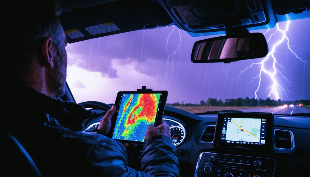
When you’re steering through a live storm event, county boundary tracking becomes critical for legal compliance and precise threat coordination.
You can layer MOBLE-RULE’s GMAP tool over Google Maps to display county lines in real time, giving you instant jurisdictional awareness as a storm crosses boundaries.
Pairing that with GPS-based location services lets you track your position relative to active warning polygons and adjust your intercept route with precision.
County Boundary Tracking Tools
County boundary tracking is a critical navigation layer for storm chasers operating in fast-moving severe weather environments. You need precise jurisdictional data to coordinate with emergency services and navigate legal boundaries without hesitation.
Geo fencing innovations have transformed how you monitor county lines in real time, enabling dynamic alerts as you cross boundaries during active pursuits.
Key tools supporting boundary accuracy include:
- MOBLE-RULE’s GMAP layer — adds county boundaries directly onto Google Maps
- RadarScope — overlays NWS warning polygons aligned with county-level boundaries
- Pykl3 — displays warning polygons on GPS maps for immediate jurisdictional awareness
These tools eliminate guesswork during high-speed repositioning. You’re operating in dynamic, dangerous conditions — precise boundary data keeps you legally compliant and tactically sharp.
Real-Time Location Navigation
Real-time location navigation separates effective storm chasers from those reacting too late to shifting storm tracks. You need GPS-integrated tools that sync your position against live radar, warning polygons, and evolving weather patterns simultaneously.
Apps like RadarScope and Pykl3 overlay NWS warning boundaries directly onto your moving location, enabling rapid repositioning during storm segmentation events where multiple cells develop independently.
MyRadar’s fast-loading interface lets you assess precipitation movement without lag, critical when you’re making split-second route decisions.
Mesonet data layers add surface observation context, sharpening your situational awareness beyond what radar alone provides.
You’re not just watching the storm—you’re calculating intercept angles, escape routes, and jurisdictional boundaries in real time. Precise navigation tools give you the freedom to chase aggressively while maintaining operational safety margins.
How to Read Doppler Radar Data on Your Phone
Reading Doppler radar data on your phone starts with understanding reflectivity, the most commonly displayed radar product. Measured in dBZ, it indicates precipitation intensity. Proper Doppler interpretation requires recognizing color scales — greens signal light rain, yellows moderate, and reds or purples indicate severe precipitation or hail cores.
Radar calibration affects data accuracy, so always verify your app pulls from the nearest, operational WSR-88D site.
Key indicators to monitor in real time:
- Velocity data (SRM): Detects rotation within storm cells, flagging potential tornado development
- Dual-pol products: ZDR and correlation coefficient distinguish rain, hail, and debris signatures
- BWER signatures: Bounded weak echo regions indicate powerful updrafts inside supercells
Apps like RadarScope give you direct access to these products, putting professional-grade analysis in your hands.
How to Build Your Storm Chasing App Stack
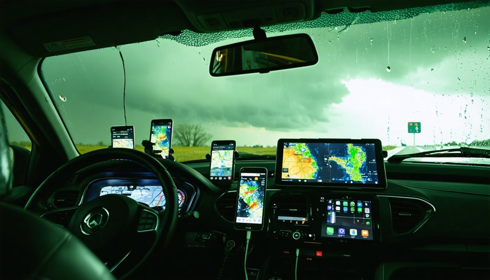
Building an effective storm chasing app stack means layering specialized tools that cover radar, forecasting, mapping, lightning detection, and official alerts without redundancy.
Start with RadarScope for high-resolution Doppler analysis, then add PivotalWeather to access HRRR, NAM, and GFS model data for weather pattern analysis.
RadarScope delivers elite Doppler precision, while PivotalWeather unlocks HRRR, NAM, and GFS model data for deeper forecast analysis.
Use NOAA’s SPC site for official watches and convective outlooks grounded in historical storm patterns.
Layer in Echoes Weather for combined radar, satellite, and lightning data, and integrate WeatherFront for NWS alerts and mesoscale analysis during field operations.
Complete your stack with a mapping solution like Mesonet for real-time surface observations.
Each tool serves a distinct function—eliminate overlap, prioritize data reliability, and you’ll operate with the situational awareness that keeps you mobile, informed, and in control.
Once you’ve built your app stack, you’ll need reliable channels to share and receive real-time field observations with other chasers.
The Texas Storm Chasers app lets you tap into region-specific storm reports and community-driven tracking data, giving you ground-truth verification alongside your radar feeds.
Platforms like these compress the gap between what models predict and what chasers are actually observing in the field.
Community Storm Reporting Platforms
When you’re in the field, real-time community reporting platforms become as critical as radar apps for situational awareness. Community engagement strengthens data validation by cross-referencing multiple observer reports against radar signatures, giving you higher confidence in storm behavior assessments.
Key platforms worth integrating into your workflow:
- Texas Storm Chasers app — delivers region-specific storm reports and crowd-sourced tracking data directly to your device
- WeatherPrediction.com — supports analytical storm reporting with educational overlays for structured field interpretation
- SPCCOU SOM (spc.noaa.gov/exper/spcousom) — hosts experimental observation models that chasers can actively contribute to and reference
These platforms let you operate independently while staying networked with verified ground-truth reports, sharpening your decision-making during rapidly evolving severe weather events.
Real-Time Field Data Sharing
Beyond community platforms, how you share your own real-time field data directly shapes the situational picture for every chaser operating in your region. Apps like WeatherFront and HazWX let you push surface observations, storm structure notes, and GPS-tagged reports instantly to networked teams. That live feed supplements historical storm data archives, giving analysts cleaner baselines for weather pattern analysis and rapid model verification.
You’re not just consuming data—you’re generating it. Accurate field reports on wind shifts, hail size, and wall cloud rotation fill observational gaps that radar alone can’t resolve. Syncing your observations with NWS systems strengthens official warning decisions in real time.
Treat every data point you submit as a tactical asset. Precision reporting from the field accelerates collective situational awareness and keeps every chaser operating with better information.
Frequently Asked Questions
Can Storm Chasing Apps Work Reliably in Areas With Poor Cellular Coverage?
Like a lifeline snapping in a storm, cellular dependency cripples most apps in dead zones. You’ll need offline functionality — pre-downloading radar data and maps guarantees you’re never steering blind when coverage vanishes.
Are Storm Chasing Apps Legally Sufficient for Coordinating With Emergency Management Officials?
Storm chasing apps aren’t legally sufficient alone for emergency coordination. You’ll need direct NWS and SPC integration to guarantee legal compliance. Always verify data privacy policies before sharing location data with emergency management officials.
How Much Mobile Data Do Storm Chasing Apps Typically Consume During Active Chases?
You’ll consume 200–500MB per hour running apps like RadarScope and Simuawips during active chases. Data consumption spikes with radar refresh rates and lightning overlays, while battery impact accelerates simultaneously—plan your mobile hotspot and power reserves accordingly.
Can Minors Legally Use Storm Chasing Apps for Independent Field Tracking Activities?
Imagine a 16-year-old deploying RadarScope independently — you’ll face legal restrictions without parental consent. Most apps don’t prohibit minors, but independent field tracking requires guardian authorization to guarantee compliance and personal safety.
Do Storm Chasing Apps Drain Phone Batteries Faster Than Standard Navigation Applications?
Yes, storm chasing apps drain your battery faster than standard navigation apps. They’re continuously pulling radar, lightning, and GPS data, impacting app reliability. Manage battery drain by carrying power banks and limiting background refresh rates.
References
- https://www.youtube.com/watch?v=Rd6JPzOoxGo
- https://www.reddit.com/r/stormchasing/comments/8tzj5w/what_appswebsites_should_i_use_for_storm_chasing/
- https://play.google.com/store/apps/details?id=com.ml.TXSC&hl=en_US



