When you trace the history of severe weather forecasting, the National Severe Storms Laboratory stands at nearly every breakthrough. Founded in 1964, it pioneered Doppler radar research, captured the first complete tornado lifecycle in 1973, and drove NEXRAD’s national deployment in the 1990s. Its VORTEX programs redefined how scientists understand tornado formation. NSSL’s work has directly extended warning lead times and saved countless lives — and there’s far more to uncover about its impact.
Key Takeaways
- Established in 1964, NSSL evolved from a narrow aviation focus to comprehensive severe weather research, improving storm prediction and public safety.
- NSSL pioneered Doppler radar technology in the late 1960s, enabling earlier, more accurate storm warnings by measuring wind velocity data.
- The 1973 Union City tornado study provided the first complete radar documentation of a tornado’s lifecycle, validating Doppler detection methods.
- VORTEX and VORTEX2 initiatives identified key tornado triggers, including wind shear and boundary interactions, refining probabilistic tornado forecasting.
- NSSL’s research supported NEXRAD deployment nationally in the 1990s, transforming severe weather warning systems and significantly reducing response times.
How NSSL Was Founded and What It Was Built to Do
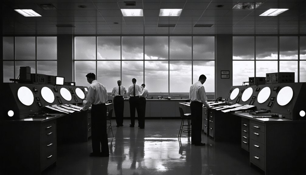
When the U.S. Weather Bureau established the National Severe Storms Laboratory in 1964, it wasn’t starting from scratch. The organization evolved directly from the National Severe Storms Project, previously based in Kansas City, giving it critical historical context and foundational research momentum before it ever opened its Norman, Oklahoma doors.
Dr. Edwin Kessler took the helm as first director, steering early efforts toward Doppler radar research with precision and purpose. The initial mission targeted aviation safety and turbulence forecasting, protecting pilots and passengers from dangerous atmospheric conditions.
You can trace NSSL’s organizational growth through this deliberate progression: NSSP became NSSL, Kansas City became Norman, and a narrow aviation focus expanded into all-encompassing severe weather science. That structured evolution built the laboratory’s credibility and scientific authority across decades of atmospheric research.
The Doppler Radar Breakthroughs That Changed Weather Forecasting
During the late 1960s and early 1970s, NSSL developed one of the first operational Doppler weather radars, fundamentally restructuring how meteorologists detect and analyze severe storms. This radar innovation gave forecasters unprecedented velocity data, enabling earlier, more accurate warnings.
Key milestones in this advancement include:
- 1973: First complete radar observation of a tornado’s lifecycle during the Union City F-4 event
- 1975: Color display technology introduced, transforming data visualization for analysts
- 1988: WSR-88D (NEXRAD) design finalized
- 1990s: NEXRAD deployed nationally, remaining operational today
You can trace modern severe weather warning systems directly to these breakthroughs. NSSL’s technical rigor produced tools that decentralized life-saving information, empowering communities to make independent decisions before dangerous storms arrive.
The 1973 Union City Tornado That Put Radar on the Map
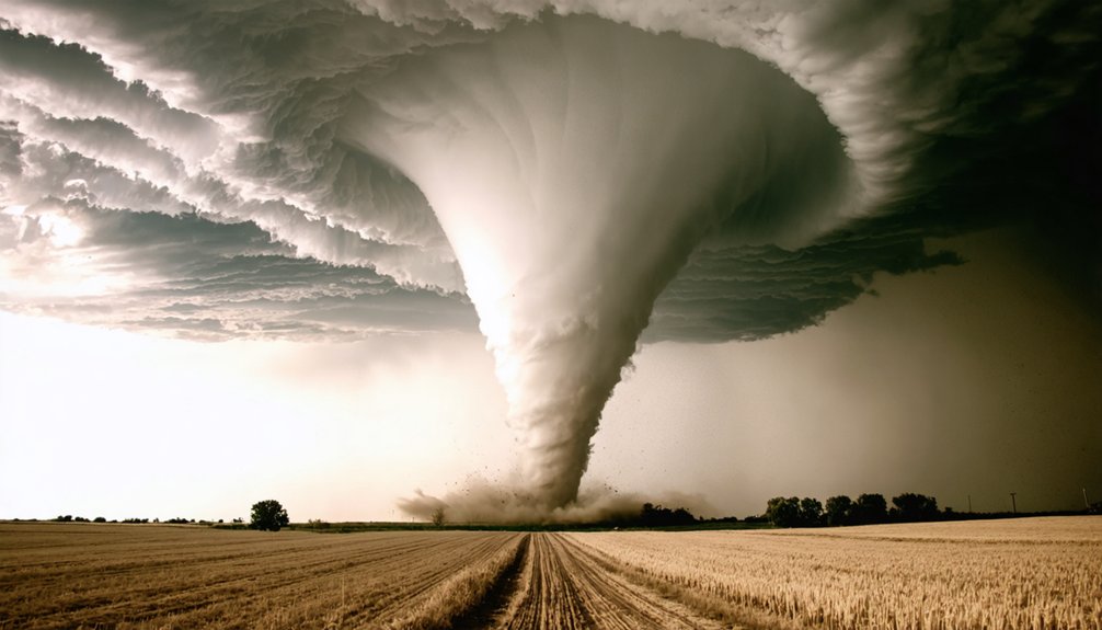
On May 24, 1973, NSSL researchers positioned Doppler radar systems around Union City, Oklahoma, and captured something no team had recorded before: the complete lifecycle of an F-4 tornado from genesis to dissipation. This radar innovation gave scientists precise velocity data, revealing rotational wind structures at every stage of tornado development.
You can trace modern warning systems directly back to what researchers documented that day. The Union City event validated Doppler radar’s operational value, demonstrating that you could detect tornadic rotation before a funnel became visible.
That capability shifted severe weather forecasting from reactive to anticipatory. The tornado lifecycle data collected here became foundational reference material, accelerating NSSL’s push toward deploying NEXRAD nationally and giving forecasters the empirical evidence they needed to advocate for Doppler radar infrastructure investment.
What VORTEX and VORTEX2 Revealed About Tornado Formation
If you’ve ever wondered what actually triggers a tornado, NSSL’s VORTEX projects gave researchers their clearest answers yet. Launched in 1994, VORTEX deployed coordinated instrumented vehicles, weather balloons, and mobile radars to capture real-time thermodynamic and kinematic data surrounding supercell thunderstorms.
These efforts revealed that tornado genesis depends on precise interactions between cold outflow boundaries and warm, rotating updrafts.
VORTEX2, initiated in 2009, expanded that dataset considerably, showing you that not all rotating supercells produce tornadoes—a finding that continues to reshape how forecasters assess tornado probability during active storm events.
Tornado Genesis Findings
When NSSL launched VORTEX in 1994, researchers set out to answer a deceptively difficult question: why do some supercell thunderstorms produce tornadoes while others don’t? VORTEX and VORTEX2 delivered critical data on tornado triggers and storm rotation, narrowing down key variables:
- Rear-flank downdraft temperature directly influences surface rotation intensity
- Low-level wind shear determines whether mesocyclone rotation tightens into a tornado
- Boundary layer moisture affects storm-scale pressure gradients near the surface
- Storm motion relative to outflow boundaries significantly alters tornado probability
You can see from this data that no single factor controls tornado genesis. Instead, multiple atmospheric conditions must align precisely.
VORTEX2’s dense instrument arrays confirmed that small-scale variations in thermodynamic and kinematic fields often determine whether a storm produces a tornado or remains non-tornadic.
Storm Dynamics Insights
Beyond confirming tornado genesis triggers, VORTEX and VORTEX2 reshaped how researchers model internal storm dynamics. Both projects revealed that storm structure isn’t static—it evolves through complex atmospheric interactions between updraft intensity, low-level wind shear, and boundary layer moisture.
You can trace how supercell thunderstorms develop mesocyclones by examining the collected thermodynamic and kinematic datasets these projects produced.
VORTEX2 specifically deployed coordinated mobile radar arrays, allowing researchers to capture three-dimensional wind field data with unprecedented resolution. That data exposed critical timing relationships between rear-flank downdraft surges and low-level rotation intensification.
You’re now looking at storm behavior models that account for probabilistic formation pathways rather than single deterministic triggers. These findings directly strengthened tornado warning algorithms, giving forecasters sharper, earlier decision-making windows.
How NSSL’s Research Shaped National Severe Weather Warnings
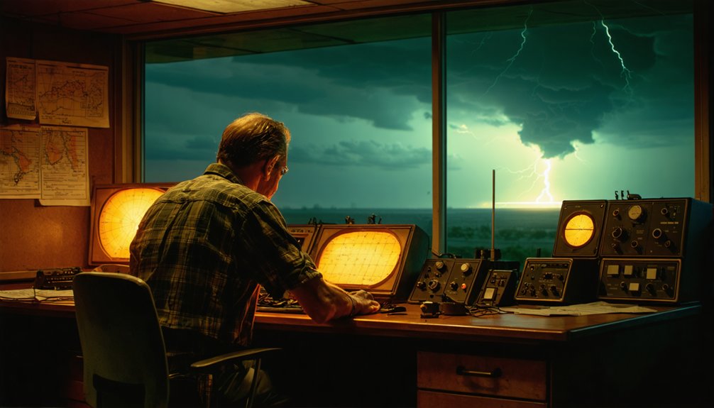
How did a single federal laboratory reshape the way an entire nation responds to deadly weather? NSSL’s integration of Doppler radar technology and advanced data visualization directly transformed weather prediction infrastructure nationwide. You can trace modern warning systems back to NSSL’s core breakthroughs:
- NEXRAD (WSR-88D) deployment in the 1990s gave forecasters real-time storm velocity data
- The 1973 Union City tornado study established radar-based lifecycle tracking protocols
- Storm Prediction Center relocation to Norman in 1997 unified severe weather coordination
- Hazardous Weather Testbed accelerated evaluation of emerging forecast technologies
These advances compressed warning lead times, giving you and other citizens measurable windows to act. NSSL’s analytical framework didn’t just improve forecasting—it restructured how federal agencies communicate life-threatening meteorological threats at scale.
NSSL’s 60-Year Legacy in Severe Weather Science
From restructuring national warning systems to cementing six decades of scientific output, NSSL’s cumulative record defines modern severe weather research. By 2024, you’re looking at a laboratory that’s sustained 60 years of continuous field observation, radar innovation, and operational forecasting support.
NSSL’s work on NEXRAD, VORTEX, and the Hazardous Weather Testbed collectively strengthened climate adaptation frameworks by generating actionable datasets that forecasters and policymakers rely on directly.
Public education has also remained a core deliverable, with NSSL’s first website launching in November 1994, expanding data accessibility to independent researchers and citizens alike.
That commitment to open, precise scientific communication reflects the laboratory’s broader philosophy: equip you with verified, high-resolution severe weather intelligence so informed decisions remain in your hands, not bureaucratic bottlenecks.
Frequently Asked Questions
What Was Nssl’s Annual Budget During Its Early Years of Operation?
You won’t find NSSL’s early annual budget figures in available funding history records. The research focus centered on Doppler radar and severe weather analysis, but specific budget allocations from those early operational years aren’t documented here.
How Many Staff Members Currently Work at NSSL in Norman?
The available knowledge doesn’t give you a current NSSL staff count. You’ll find that storm prediction advances and research funding levels directly shape workforce size—check NOAA’s official resources for precise, data-driven staffing figures at Norman’s facility.
Has NSSL Ever Collaborated With International Weather Research Organizations?
The provided knowledge doesn’t confirm NSSL’s international partnerships or global weather initiatives directly. You’ll find NSSL’s documented collaborations focus domestically, partnering with federal agencies, universities, and private sectors to analytically advance severe weather forecasting data and research capabilities.
What Specific Aircraft Were Used in Nssl’s Early Aviation Safety Research?
Like searching for a needle in a haystack, you won’t find specific Early research aircraft documented here. Aviation safety advancements were NSSL’s focus, but the exact aircraft models used aren’t detailed in available records.
How Does NSSL Recruit and Train Its Scientific Research Personnel?
The provided knowledge doesn’t detail NSSL’s recruitment or training processes. However, you’d likely engage in storm prediction research and rigorous data analysis, collaborating with federal partners, universities, and private sectors to sharpen your severe weather scientific expertise.
References
- https://en.wikipedia.org/wiki/National_Severe_Storms_Laboratory
- https://inside.nssl.noaa.gov/nsslnews/2016/01/nssl-1964-1980/
- https://fr.wikipedia.org/wiki/National_Severe_Storms_Laboratory
- https://repository.library.noaa.gov/view/noaa/55684/noaa_55684_DS1.pdf
- https://inside.nssl.noaa.gov/nsslnews/tag/history/
- https://www.youtube.com/watch?v=LlcVPcGvliU
- https://ams.confex.com/ams/pdfpapers/83885.pdf
- https://repository.library.noaa.gov/view/noaa/33890/noaa_33890_DS1.pdf
- https://celebrating200years.noaa.gov/foundations/atmospheric/welcome.html
- https://de.wikipedia.org/wiki/National_Severe_Storms_Laboratory