Doppler radar innovations are revolutionizing storm monitoring by compressing update cycles from 5–10 minutes down to 30 seconds, giving you near real-time storm tracking that wasn’t feasible before. Rapid-scan and phased array systems capture rotating updrafts, wind shear, and tornado formation as they happen. Dual-polarization technology differentiates rain, hail, and debris with precision, while NEXRAD’s 159-station network guarantees continuous nationwide coverage. The full picture of how these technologies collaborate goes much deeper.
Key Takeaways
- Rapid-scan technology completes full volumetric sky scans in 30 seconds, capturing real-time storm evolution and compressing traditional 5-10 minute update cycles.
- Dual-polarization technology differentiates precipitation types, identifies hail formation, and reduces false alarms by detecting non-meteorological returns like birds and debris.
- Phased array radar extends tornado warning lead times from 5 to 15 minutes, enabling earlier community response during severe weather events.
- The 159-station NEXRAD network provides nationwide overlapping coverage, ensuring continuous storm tracking and decades of historical data for long-term analysis.
- Advanced signal processing integrates real-time wind field data into numerical weather prediction models, significantly enhancing forecast accuracy and storm monitoring reliability.
What Makes Doppler Radar a Storm Monitoring Game-Changer?
Doppler radar has fundamentally transformed storm monitoring by measuring precipitation particle motion and wind velocity simultaneously through frequency shifts in returned energy. You’re no longer relying on probabilistic associations—direct air motion sensing delivers actionable storm metadata that forecasters can trust.
Doppler radar replaces guesswork with precision—direct wind velocity measurement gives forecasters storm data they can act on.
Radar calibration guarantees data integrity across all 159 NEXRAD systems operating nationwide, maintaining measurement consistency during rapidly evolving severe weather events.
Dual-polarization technology further sharpens your situational awareness by differentiating rain, snow, hail, and debris with precision. Wind shear events and damaging winds inside storm cores are now identifiable before they threaten communities.
These high-resolution wind fields feed directly into numerical weather prediction models, strengthening forecast accuracy for flash floods and tornadoes—giving you the critical lead time needed to act decisively.
How Doppler Radar Measures Wind Speed and Direction
When Doppler radar transmits microwave pulses toward precipitation, it measures the frequency shift in returned energy to calculate wind speed and direction directly. You’re getting real-time air motion data rather than probabilistic estimates derived from conventional reflectivity alone.
Signal processing algorithms decode these frequency shifts, converting raw returns into precise velocity vectors across storm structures.
Radar calibration guarantees measurement accuracy, eliminating instrument drift that would corrupt wind field calculations.
You can see wind shear events, rotating updrafts, and damaging winds embedded deep within storm cores.
This direct sensing capability feeds high-resolution wind fields into numerical weather prediction models, strengthening forecast precision.
Unlike traditional systems, Doppler technology gives you actionable intelligence about atmospheric motion before severe conditions reach the ground.
How Rapid-Scan Technology Captures Storms in Real Time
When you compare rapid-scan radar to traditional systems, the performance gap becomes immediately clear: phased array radar completes a full volumetric sky scan in just 30 seconds, while conventional radar requires 5 to 10 minutes per update cycle.
You’re no longer working with static snapshots of storm development; instead, you receive continuous three-dimensional measurements that capture rapid structural changes in real time.
This accelerated data collection transforms storm monitoring from a flip-book sequence into smooth, video-like coverage that lets you track rotation, wind shear, and precipitation intensity as they evolve second by second.
Real-Time Volumetric Data Collection
How quickly can a radar system capture an entire storm’s three-dimensional structure? Traditional systems required 5 to 10 minutes per update cycle, leaving dangerous gaps in historical data continuity.
Today’s rapid-scan technology compresses that window to 10 to 60 seconds, delivering volumetric measurements that reveal storm evolution in near real time.
You’re no longer relying on outdated snapshots when making critical decisions. Phased array radar completes full-sky scans in just 30 seconds, generating smooth, video-like data streams instead of flip-book frames.
Combined with satellite integration, these systems cross-reference atmospheric layers with unprecedented precision, strengthening three-dimensional storm modeling across multiple data sources.
This capability doesn’t just improve monitoring—it fundamentally reshapes your understanding of how rapidly severe weather develops and intensifies at any altitude.
Scan Speed Versus Traditional Radar
Traditional radar systems force you to wait 5 to 10 minutes between complete volumetric updates—a critical delay when a tornado can form and touch down in under two minutes. That gap costs lives.
Phased array radar eliminates this vulnerability by completing a full sky scan in just 30 seconds, delivering smooth, video-like data instead of disjointed flip-book snapshots.
Rapid-scan technology captures volumetric three-dimensional measurements every 10 to 60 seconds, giving you continuous storm evolution data.
Advanced calibration techniques ensure measurement accuracy across each accelerated scan cycle, while historical data confirms that faster update rates directly extend tornado warning lead times from 5 to 15 minutes.
You’re no longer reacting to outdated information—you’re tracking storms as they actually develop, in real time.
Why Phased Array Radar Leaves Traditional Systems Behind
When you compare phased array radar (PAR) to traditional systems, the speed difference is stark—PAR completes a full volumetric sky scan in just 30 seconds, while conventional radar requires 5 to 10 minutes per update cycle.
That rapid sampling rate eliminates the flip-book snapshot effect, giving you smooth, video-like data streams that capture storm evolution in near real time.
You also gain a critical advantage in tornado detection, as PAR’s faster refresh cycles extend warning lead times beyond what legacy Doppler systems can deliver.
Speed Beyond Traditional Limits
While traditional radar systems need 5 to 10 minutes to complete a full update cycle, phased array radar (PAR) finishes a full sky scan in just 30 seconds. These historical limitations meant forecasters worked with outdated snapshots, reducing reaction time during rapidly evolving severe weather events.
PAR eliminates that constraint entirely. You’re no longer relying on stale data when a tornado develops between update cycles. Instead, you get continuous, smooth video-like measurements that reflect real-time atmospheric changes with precision.
This speed advantage transforms data integration across forecasting platforms. High-resolution volumetric scans refresh fast enough to feed numerical models with accurate, current inputs. You gain actionable intelligence in seconds, not minutes, giving communities the critical lead time needed to respond before dangerous conditions arrive.
Real-Time Video-Like Data
Flip-book snapshots define traditional radar’s core limitation—each frame separated by 5 to 10 minutes of atmospheric blind spots.
Phased Array Radar eliminates that gap entirely, delivering smooth, video-like volumetric data every 30 seconds. You’re no longer analyzing frozen moments—you’re watching storm evolution unfold in near-real-time.
This continuous data stream integrates with satellite imagery and climate modeling systems, creating a comprehensive atmospheric picture that static radar cycles simply can’t support.
PAR’s rapid-scan capability captures tornado genesis, wind shear development, and precipitation transitions as they actually occur—not minutes after critical thresholds are crossed.
That 10-to-30-second update cycle fundamentally reshapes your decision window.
Forecasters gain actionable intelligence faster, warning systems respond earlier, and communities secure themselves before dangerous conditions arrive—not during them.
Superior Tornado Detection Capabilities
That 30-second update cycle doesn’t just improve data continuity—it directly extends tornado warning lead times. Traditional systems give you 5-minute update gaps, forcing forecasters to interpolate rotation trends.
Phased array radar detects wind shear and mesocyclone development in near real-time, pushing lead times from 5 to 15 minutes.
You’re not working from probabilistic guesses anymore. Doppler velocity data measures actual air motion inside storm cores, identifying rotation before touchdown occurs.
This precision matters especially in urban microclimates, where terrain and heat signatures alter storm behavior unpredictably.
Historical weather data confirms the life-saving impact—communities receiving earlier warnings act faster and shelter sooner.
PAR doesn’t just refine detection; it fundamentally shifts your decision window, giving you freedom to respond before conditions become unsurvivable.
Why Tornado Warning Lead Times Keep Increasing
Doppler radar advancements have pushed tornado warning lead times from just 5 minutes to 15 minutes, a threefold improvement driven by direct air motion measurement and faster volumetric scanning.
Unlike historical radar systems that relied on probabilistic storm simulation models, modern Doppler technology directly measures wind shear, rotation, and velocity fields inside developing thunderstorms. You’re now receiving warnings with precise, actionable data rather than educated guesses.
Doppler’s frequency-shift analysis detects rotational wind patterns before tornadoes fully form, giving you critical shelter time.
Phased array radar extends these lead times further by completing full sky scans in 30 seconds versus traditional systems’ 5-to-10-minute cycles. That speed advantage translates directly into earlier alerts, empowering you to make informed, life-saving decisions before dangerous storms reach your location.
What Dual-Polarization Radar Reveals About Rain, Snow, and Hail
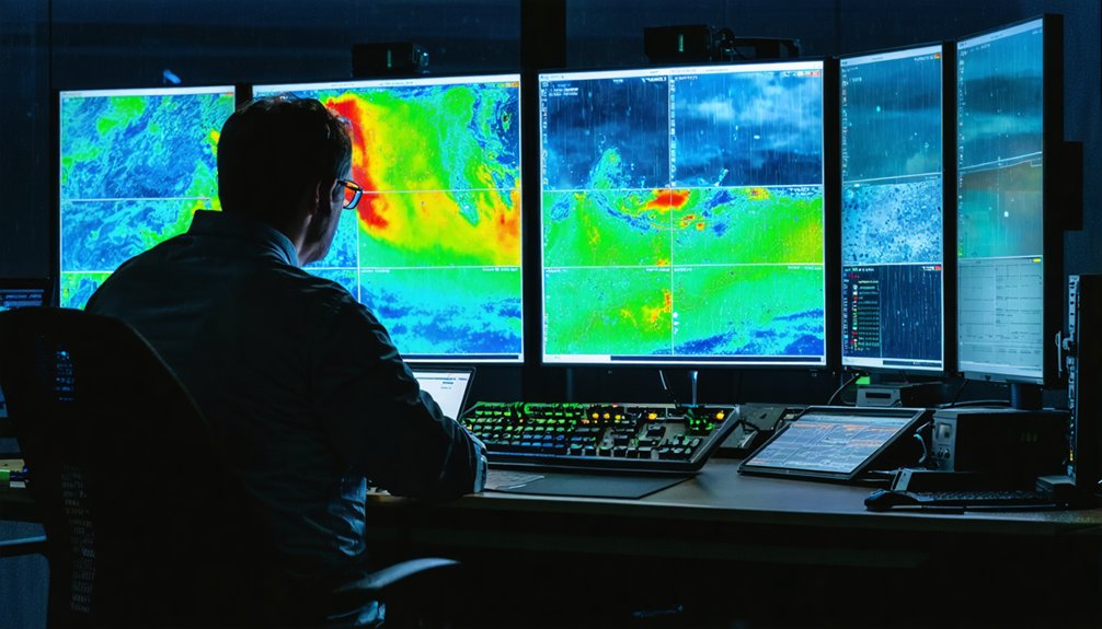
Traditional radar measured only signal intensity. Dual-pol transmits both horizontal and vertical pulses, revealing particle shape and size. This directly exposes rain patterns and hail formation processes you couldn’t previously identify.
Dual-pol technology distinguishes:
- Rain vs. hail — rounded drops versus irregular ice shapes
- Hail formation stages — size gradients within storm cores
- Snow structure — wet versus dry snowfall signatures
- Non-meteorological returns — birds, insects, and tornado debris
You’re no longer guessing precipitation type from reflectivity alone. Accurate particle characterization improves precipitation estimates and feeds higher-quality data into flood prediction models—giving you sharper, more actionable severe weather intelligence.
How Doppler Radar Data Powers More Accurate Forecast Models
When high-resolution wind fields and volumetric storm data feed directly into numerical weather prediction models, forecast accuracy improves measurably. You’re no longer relying on probabilistic guesses—Doppler radar delivers real-time wind speed, direction, and storm structure that models consume instantly.
Doppler radar doesn’t guess—it delivers real-time storm data that sharpens forecast models instantly and measurably.
Dense, continuously updated measurements sharpen flash flood and tornado predictions, giving you longer lead times to act freely and decisively.
Think of it like quantum entanglement: the radar and forecast model share information instantaneously, each update influencing the other’s precision. Unlike a solar flare disrupting communication systems, modern radar infrastructure remains resilient, feeding uninterrupted data streams into prediction engines.
High-resolution inputs reduce forecast uncertainty, strengthen public safety decisions, and support infrastructure protection. Your freedom to prepare, evacuate, or shelter depends directly on how accurately these models perform.
How NEXRAD’s 159-Station Network Delivers Nationwide Storm Coverage
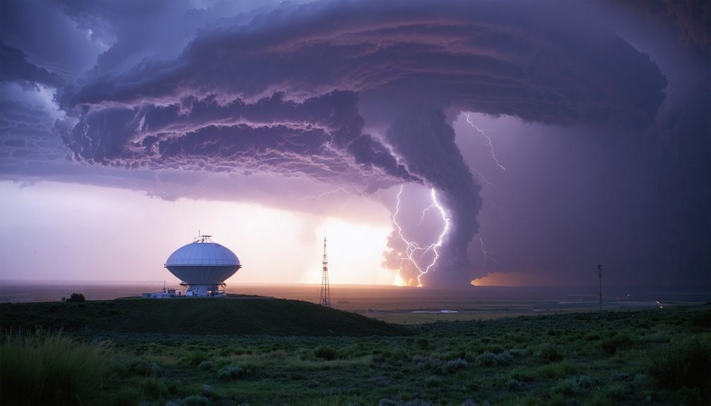
The forecast models consuming Doppler data are only as effective as the network supplying them—and that’s where NEXRAD’s 159-station infrastructure becomes the backbone of U.S. storm coverage. Running for 20+ years, this historical radar network continuously tracks evolving weather patterns across the entire nation.
Each station contributes overlapping coverage, eliminating blind spots that once left communities vulnerable.
NEXRAD’s distributed architecture delivers:
- Continuous volumetric scans detecting developing severe weather
- Overlapping station coverage eliminating regional monitoring gaps
- Dual-polarization upgrades providing precipitation-type differentiation
- Decades of historical radar data supporting long-term weather pattern analysis
You benefit directly from this infrastructure—it’s what transforms raw atmospheric data into actionable tornado warnings, flash flood alerts, and precise storm tracking that protects lives and preserves your freedom to make informed decisions.
Phased Array, Faster Scans, and What’s Coming After NEXRAD
While NEXRAD’s 159-station network has served as the national backbone for decades, its 5-to-10-minute update cycles create critical gaps during rapidly evolving severe weather events. Phased array radar eliminates that vulnerability by completing full volumetric scans in 30 seconds, giving you continuous, video-like storm data instead of fragmented snapshots.
NOAA’s National Severe Storms Laboratory drives this advancement, integrating advanced signal processing and spectral analysis to extract precise wind fields, rotation signatures, and precipitation structures from each rapid scan.
You’re no longer waiting minutes for updated tornado warnings — phased array systems deliver longer lead times directly.
Post-NEXRAD development prioritizes combining dual-polarization capability with phased array speed, producing a unified platform that transforms how you monitor, predict, and respond to severe weather threats.
Frequently Asked Questions
How Much Does a Single NEXRAD Radar Station Cost to Operate Annually?
The provided knowledge doesn’t cover NEXRAD’s annual operating costs. You won’t find radar calibration or signal processing expense data here. Check NOAA’s official budget reports for precise, data-driven figures on individual station operational costs.
Can Doppler Radar Detect Underground Water Movement or Subsurface Flooding?
Like a flashlight that can’t shine through walls, Doppler radar can’t perform subsurface detection or groundwater monitoring. You’d need ground-penetrating radar or seismic sensors instead, as Doppler exclusively measures atmospheric precipitation, wind fields, and airborne particle motion.
How Do Radar Operators Stay Trained on Rapidly Evolving New Technologies?
You stay current through continuous operator certification programs and hands-on radar calibration drills. As technologies like PAR and dual-polarization evolve, you’ll train on updated systems, ensuring you’re mastering precise, data-driven skills that keep severe weather warnings accurate and timely.
What Weather Conditions Physically Damage or Disable Doppler Radar Equipment?
You’ll find that large hail, extreme wind velocity exceeding structural limits, lightning strikes, and heavy ice accumulation can physically disable Doppler radar. These conditions compromise antenna rotation, distort precipitation measurement accuracy, and damage radome surfaces, degrading your system’s operational integrity.
How Does Doppler Radar Performance Differ Between Coastal and Inland Locations?
Coastal radar faces harsher conditions than inland systems. You’ll find salt air accelerates equipment degradation, complicating coastal erosion and inlet monitoring. Inland units maintain cleaner signals, while coastal installations demand more frequent maintenance to sustain precise, data-driven storm detection performance.
References
- https://journals.ametsoc.org/view/journals/bams/105/11/BAMS-D-23-0298.1.pdf
- https://www.ll.mit.edu/sites/default/files/publication/doc/advances-operational-weather-radar-technology-weber-ja-10424.pdf
- https://www.koaa.com/weather/weather-science/the-climate-classroom-how-the-doppler-effect-revolutionized-weather-forecasting
- https://apps.dtic.mil/sti/trecms/pdf/ADA010434.pdf
- https://www.nsf.gov/impacts/doppler
- https://inside.nssl.noaa.gov/nsslnews/2024/11/a-clear-vision-phased-array-radar-innovating-for-the-future/
- https://www.nsf.gov/news/news_summ.jsp?cntn_id=103008
- https://www.youtube.com/watch?v=ECsGC7lMvJU
- https://www.weather.gov/about/radar
- https://apps.dtic.mil/sti/tr/pdf/ADA233071.pdf



