Chasing waterspouts puts you at the intersection of meteorological precision and raw atmospheric power. You’ll track rotating columns over water by interpreting radar velocity couplets, spectrum width data, and reflectivity gradients before visible formation occurs. Peak activity runs May through September, with a 12 PM–5 PM daily window in hotspots like Florida Keys and the Great Lakes. Master the forecasting fundamentals first, and every chase becomes a calculated, data-driven pursuit worth exploring further.
Key Takeaways
- Waterspout chasing peaks between May and September, with the best daily observation window from 12 PM to 5 PM at coastal hotspots.
- Successful chasing requires reading radar data—spectrum width, velocity, and reflectivity—to identify vortex precursors before visible formation occurs.
- Florida Keys and Great Lakes are prime chasing locations, with over 1,400 documented Florida waterspouts since 2006.
- Always maintain a half-mile safety buffer, move perpendicular to the waterspout’s track, and keep engines ready for emergency repositioning.
- Formation requires three aligned conditions: warm water instability, cooler overhead air providing lift, and wind shear organizing rotation.
What Is Waterspout Chasing?
Waterspout chasing is a form of storm spotting where you actively track and observe rotating columns of air over bodies of water, typically for photography, videography, or structured weather observation. It’s not passive watching — you’re interpreting real-time atmospheric data, applying meteorological terminology to identify formation conditions, and making rapid field decisions based on shifting variables.
You’ll operate across coastal zones and open water, which means marine navigation becomes a core competency alongside weather analysis. Florida, the Florida Keys, and the Great Lakes are the primary operational theaters. Chase plans don’t follow fixed routes; they respond to live radar feeds, pressure gradients, and wind shear data.
The hobby demands technical discipline, combining storm pattern recognition with navigational awareness to keep you mobile, informed, and in control.
Where Are Waterspouts Most Likely to Form?
Knowing where to position yourself before conditions develop separates productive chases from wasted hours. The Florida Keys lead documented hotspots, logging over 1,400 waterspouts since 2006. The Great Lakes and other coastal zones follow closely. Your seasonal window runs May through September, covering roughly 75% of annual activity.
Position matters before conditions develop. The Florida Keys lead all hotspots, with peak activity running May through September.
Peak formation typically occurs between 12 PM and 5 PM, when surface heating drives atmospheric instability.
Marine navigation becomes critical here — unfamiliar coastlines and restricted access points can trap you in poor observation positions. Study your charts before deploying.
You’ll also want to monitor cloud patterns actively, since rotating base structures and low-hanging formations often signal developing vortex conditions. Cross-reference those visual cues with radar data to confirm whether atmospheric setup matches what you’re observing on the water.
The Best Season and Daily Window for Waterspout Chasing
Timing your chase correctly increases your odds of observing active waterspout development considerably. Weather pattern analysis confirms that May through September delivers roughly 75% of annual activity, giving you a concentrated window to plan around.
Within each day, the 12 PM to 5 PM block produces peak atmospheric heating conditions.
Integrate marine navigation tools early so you’re positioned before development begins:
- Midday heat building over open water, creating visible shimmer across the surface as temperature gradients sharpen
- Rotating dark patches forming low on the water, signaling early vortex organization beneath unstable air
- Spiral surface disturbances tightening rapidly, confirming active waterspout descent toward connection
Cross-reference radar data with your positioning continuously. Conditions shift fast, and your ability to move freely depends on reading that window precisely.
Formation Triggers: Temperature Gradients, Wind Shear, and Moisture
Three core variables drive waterspout formation: temperature gradients, wind shear, and moisture levels. When warm water heats the air above it while cooler air moves in overhead, that instability creates the vertical lift waterspouts need.
You’ll recognize this pattern in historical incidents where coastal regions saw rapid development during sharp seasonal transitions.
Wind shear—changes in speed or direction across altitude layers—organizes that rising air into rotation. Without sufficient shear, the column dissipates before becoming visible.
Moisture amplifies both processes by fueling convective energy.
Studying meteorological patterns lets you identify when all three variables align simultaneously. Monitor pressure systems alongside surface temperatures and upper-level winds.
That convergence, not any single factor, determines whether conditions produce a waterspout worth chasing.
How to Read Radar for Waterspout Chasing
Radar interpretation separates reactive observers from chasers who position ahead of development. You’re not just watching storms—you’re reading radar signal interpretation to anticipate where rotation will emerge before it’s visible.
Prioritize these radar products:
- WSR-88D spectrum width data — elevated spectrum width clusters over water signal turbulent rotation zones worth monitoring closely
- Velocity products — tightening rotational couplets indicate vortex precursor detection, giving you positioning time before surface contact
- Reflectivity gradients — sharp boundaries between cells reveal instability corridors where waterspouts concentrate
Refresh your radar loop every few minutes during active setups. Waterspouts develop fast, so static snapshots mislead you.
Cross-reference satellite moisture imagery with radar returns to confirm atmospheric instability. Your positioning advantage lives entirely in how precisely you interpret that data before conditions evolve.
Essential Gear for Waterspout Chasing
Reading radar gets you to the right place—but your gear determines what you capture and whether you stay safe once you’re there.
For documentation, you’ll want a high-resolution camera paired with a telephoto lens and a gyroscopic stabilizer—essential photography techniques when shooting from a moving boat in choppy conditions. Shaky footage loses detail fast.
For weather pattern analysis in the field, run Doppler radar alongside WSR-88D spectrum width products to detect vortex signatures before they’re visible.
GPS and marine radio aren’t optional—they’re operational necessities. Multi-frequency radios extend your situational awareness beyond what any single feed provides.
On the safety side, wear a life jacket, keep waterproof gear accessible, and maintain engine readiness.
Freedom in this hobby means staying mobile, not getting caught unprepared.
How to Stay Safe on a Waterspout Chase
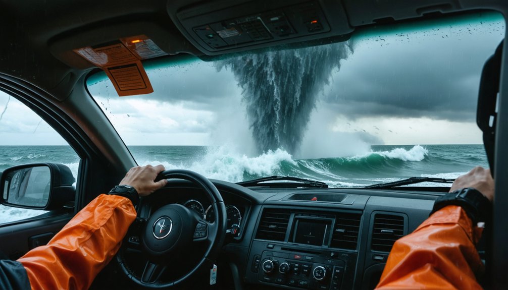
When observing a waterspout, you’ll want to maintain at least a half-mile buffer between yourself and the vortex, using GPS to verify that distance in real time.
If the waterspout shifts toward your position, move perpendicular to its track at a 90-degree angle rather than directly away, since that lateral escape vector minimizes exposure time.
Once the event ends, don’t drop your guard—debris, wave surges, and secondary storm cells in the same system can present hazards that outlast the waterspout itself.
Maintain Safe Observation Distance
How close is too close? Data says half a mile is your minimum buffer. Cross that threshold, and you’re trading observation for exposure. Waterspouts carry cultural significance in storm-chasing communities precisely because they’re unpredictable — respect that reputation.
Track these real-time visual cues to calibrate your position:
- Dark spiral patterns forming on the water surface — formation is accelerating, increase distance immediately
- Wildlife disturbance near the shoreline — animals reacting signals atmospheric pressure shifts you may not yet detect on radar
- Visible spray veil widening at the base — the vortex is intensifying, not dissipating
If the spout redirects toward you, move perpendicular at 90 degrees to its path. Don’t idle — keep your engine ready. Distance isn’t caution; it’s strategy.
Escape Routes And Maneuvers
Escape planning starts before you’re ever on the water. Study your launch area’s shoreline geometry, identifying at least two exit vectors before conditions deteriorate. Watercraft navigation decisions must account for a waterspout’s translational speed, typically 10–15 knots, meaning delayed response eliminates your margin quickly.
When escape becomes necessary, move perpendicular to the waterspout’s tracked path at a 90-degree angle. Never attempt to outrun one on a parallel course.
Reduce sail area immediately to maximize engine maneuverability, and maintain fuel reserves specifically for emergency repositioning.
Emergency protocols require you to contact the coast guard or port authority the moment a waterspout is confirmed. Post-event hazards, including wave surges and debris fields, demand continued vigilance even after the vortex dissipates.
Flexibility in your exit strategy isn’t optional, it’s survival arithmetic.
Post-Chase Hazard Awareness
Once a waterspout dissipates, your risk window doesn’t close—it shifts. Residual hazards demand the same analytical attention you applied during the chase itself.
Post-event conditions typically include:
- Debris fields and wave surges churning the surface, creating collision and capsize risks that punish inattention.
- Wildlife interactions with displaced or agitated marine animals surfacing unpredictably near disturbed water zones.
- Secondary storm cells forming within the same system, often trackable via Doppler radar before they’re visually obvious.
Adjust your photography techniques during this phase—switch to wider focal lengths to capture environmental context while monitoring your radar feed simultaneously. Don’t anchor your attention solely to the dissipating column.
Cross-reference wind shear data, watch pressure trends, and keep your engine ready. Freedom in this hobby depends on disciplined post-event awareness, not just pre-chase preparation.
What to Learn Before Your First Waterspout Chase
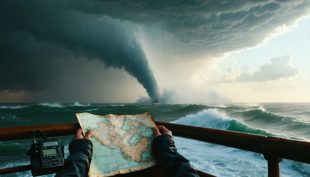
Before heading out on your first waterspout chase, you’ll need a working foundation in three core areas: radar interpretation, storm pattern recognition, and marine navigation.
Before chasing your first waterspout, master radar interpretation, storm pattern recognition, and marine navigation—no exceptions.
Study historical sightings from hotspots like the Florida Keys, where 1,400+ documented events since 2006 reveal repeatable formation patterns. Use that data to calibrate your weather forecasting approach, cross-referencing SPC outlooks with Doppler radar and WSR-88D spectrum width products to identify vortex precursors early.
Learn to distinguish fair-weather waterspouts from tornadic variants, since each demands a different response threshold. Practice reading wind shear, temperature gradients, and pressure shifts before committing to a chase.
Familiarize yourself with marine radio protocols and shoreline access points in your target area. Preparation isn’t optional—it’s what separates disciplined observation from dangerous improvisation.
Frequently Asked Questions
Can Waterspout Chasing Be Done From Shore Instead of a Boat?
Yes, you can execute shore-based tactics effectively. Remote observation from elevated coastal positions lets you deploy telephoto lenses, monitor Doppler radar, and track waterspouts safely while maintaining that half-mile buffer without needing a vessel.
Are Permits or Licenses Required to Chase Waterspouts in Protected Coastal Areas?
Waterspout permits aren’t universally required, but you’ll need to research coastal regulations for specific protected zones. Check local marine authorities, as rules vary by jurisdiction and can restrict access, equipment use, or vessel operation.
How Do Waterspout Chasers Connect With Others in the Hobby Community?
Like moths to a flame, you’ll find your tribe through online storm safety forums, social media chase groups, and field meetups where equipment preparation tips and radar data flow freely between passionate, independent waterspout observers.
Can Waterspout Footage Be Submitted to Weather Agencies or News Organizations?
Yes, you can submit waterspout footage to weather agencies or news organizations. Follow safety precautions, maintain half-mile distance, and apply photography tips like telephoto lenses to capture high-resolution, data-rich documentation agencies actively value.
Do Waterspouts Cause Insurance Complications for Boats Involved in Chasing?
If your boat sustains damage during a chase, insurers may deny insurance claims citing “intentional exposure to known hazards.” You’ll face liability concerns if undisclosed chase activity voids your marine policy’s storm-damage provisions.
References
- https://www.youtube.com/watch?v=EBGgnwwXO7k
- https://www.reddit.com/r/stormchasing/comments/1jgc295/a_beginners_guide_to_storm_chasing/
- https://www.icwr.ca/top-waterspout-hunters.php
- https://stormchasing.com/the-ultimate-guide-to-planning-your-first-storm-chasing-adventure/
- https://crazystormchasers.com/the-science-behind-chasing-waterspouts/
- https://crazystormchasers.com/best-strategies-for-chasing-waterspouts/
- https://crazystormchasers.com/chasing-waterspouts-responsibly-and-safely/
- https://www.youtube.com/watch?v=Bqx9ZHKu9Z0
- https://crazystormchasers.com/best-tips-for-staying-safe-around-waterspouts/



