Your best severe thunderstorm intercepts happen in the Great Plains, where flat terrain, dense road networks, and peak storm activity converge. Oklahoma and Kansas anchor Tornado Alley, logging dozens of severe events annually from April through June. The Texas Panhandle delivers unobstructed supercell sightlines, while staging towns like Norman and Wichita keep you ideally positioned. Florida, Arizona, and Colorado round out your extended options—and there’s far more tactical detail ahead to sharpen your intercept strategy.
Key Takeaways
- The Great Plains, especially Oklahoma and Kansas, are premier storm chasing regions due to flat terrain, dense road networks, and frequent severe weather.
- The Texas Panhandle and western Oklahoma offer unobstructed sightlines to supercells, with bases in Amarillo, Lubbock, and Midland-Odessa.
- Prime chase season runs April through June, beginning in northern Texas and shifting northward into Kansas, Nebraska, and South Dakota.
- Florida’s Lakeland corridor, Arizona’s monsoon season, and Colorado’s eastern plains provide additional severe storm interception opportunities outside Tornado Alley.
- Key highways—I-35, I-40, I-70, and US-83—enable efficient repositioning and safe storm interception throughout the Great Plains.
Why the Great Plains Dominates Storm Chasing
When storm chasers consistently return to the same geography, the data backs their instinct: the Great Plains outperforms every other U.S. region for severe storm interception. Flat terrain eliminates sight-line obstructions, and the dense rural road grid lets you reposition rapidly as storm development evolves.
Meteorological patterns here align exceptionally well — Gulf moisture collides with dry continental air along the dryline, generating the instability supercells demand. Kansas logs roughly 50 thunderstorms annually, peaking in June and July.
Oklahoma and Kansas together form dense chase corridors where you can track a supercell through its full lifecycle. Staging hubs like Oklahoma City, Norman, Wichita, and Dodge City keep you within striking distance of active setups, maximizing your intercept window without burning unnecessary miles.
Oklahoma and Kansas: The Core of Tornado Alley
Oklahoma and Kansas aren’t just part of Tornado Alley — they’re its operational center. Both states give you flat terrain, dense rural road grids, and atmospheric setups that consistently produce supercells.
Kansas logs roughly 50 thunderstorms annually, peaking in June and July. Oklahoma’s chase corridors let you reposition fast as storm rotation intensifies and cell structures evolve.
Your staging options are strong — Norman, Oklahoma City, Wichita, Dodge City, and Garden City all provide quick access to active target areas. Use weather radar to monitor mesocyclone development before committing to an approach.
I-35 handles your north-south repositioning, while US-83 keeps you aligned with the highest supercell intercept zones. In these two states, you’re not chasing blind — you’re operating with maximum flexibility and data.
Best Storm Chasing Base Towns in Oklahoma and Kansas
Norman and Oklahoma City anchor the southern end of your operational range, putting you within rapid striking distance of supercell corridors across central and western Oklahoma. Norman‘s proximity to SPC gives you real-time access to updated outlooks, which sharpens your storm structure analysis before you commit to a target.
Moving north, Wichita positions you centrally across the Kansas chase corridor, letting you pivot east or west as lightning patterns shift with storm motion.
Dodge City and Garden City extend your reach into western Kansas, where dryline-initiated supercells frequently develop with minimal obstruction.
Each base town connects directly to I-35, I-40, or US-83, preserving your repositioning flexibility throughout a chase day. Selecting the right staging point before initiation maximizes your lead time and intercept angles.
Texas Panhandle and Western Oklahoma Chase Corridors
Shifting your base southwest into the Texas Panhandle and western Oklahoma opens high-value intercept corridors where broad, open terrain delivers unobstructed sightlines to supercells and developing mesocyclones. Amarillo, Lubbock, Midland-Odessa, and Abilene each provide strong access to target zones when weather patterns push storm initiation along the dryline.
Highway 87/102 sequences give you corridor-based mobility that keeps repositioning options open as cells evolve. Storm visualization improves dramatically here because flat, expansive landscapes eliminate the obstructions that compress your reaction window elsewhere.
Early-season operations typically anchor in northern Texas before moisture boundaries shift northward, pulling productive setups with them. You’ll want to track western Oklahoma simultaneously, since both zones frequently activate under the same synoptic forcing, doubling your intercept opportunities during peak chase days.
Key Highways That Define Your Storm Chasing Routes
Four highway corridors define the structural backbone of Plains storm chasing: I-35, I-40, I-70, and US-83. Each serves a distinct function in your storm tracking strategy.
Four highway corridors form the operational backbone of Plains storm chasing, each serving a distinct strategic function.
I-35 runs north-south through Oklahoma and Kansas, giving you long repositioning windows as supercells evolve.
I-40 cuts east-west across Oklahoma and the Texas Panhandle, letting you respond quickly to shifting cloud formation patterns along the dryline.
I-70 handles east-west intercepts across Kansas and eastern Colorado, where storms frequently organize into structured supercells.
US-83 runs longitudinally through Tornado Alley’s core, aligning directly with high intercept probability zones.
Road continuity across these corridors preserves your escape options and keeps you ahead of storm motion. Treat these routes as your operational grid, not just roads.
Start West: The Dryline Edge Maximizes Your Lead Time
Positioning yourself along the western edge of a forecast risk zone gives you the maximum lead time before storms mature into organized supercells. Storm formation typically initiates along the dryline, where weather patterns collide and instability peaks first. Starting west keeps you ahead of the action.
Key advantages of western placement:
- Cells initiate first along the dryline’s western boundary, giving you early visual contact
- You preserve flexible intercept angles as storms intensify and track eastward
- Lead time increases significantly before precipitation cores develop
- Convergence boundaries near Plains locations concentrate storm formation predictably
- Repositioning options remain open before supercell structure locks in
Don’t start east and chase from behind. Control your intercept geometry by owning the western edge from the moment convection fires.
When to Chase: Seasonal Windows Across the Plains
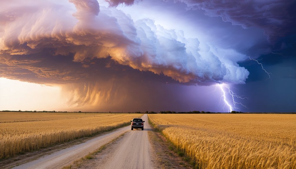
Your ideal chase window on the Plains runs from April through June, when instability, wind shear, and moisture convergence peak across Oklahoma and Kansas.
As the season progresses, you’ll track storm activity northward, with the Dakotas becoming productive targets by late May into early June.
Kansas alone averages roughly 50 thunderstorm events per year, with June and July representing the highest-frequency months for supercell development.
Peak Plains Chase Months
When you chase across the Plains matters almost as much as where you position. The April-to-June window delivers the highest concentration of supercell opportunities, and you’ll want your weather radar calibrated before the season peaks.
Key timing benchmarks to lock in:
- April: Early-season setups ignite across northern Texas and western Oklahoma
- May: Storm rotation events surge as moisture deepens and wind shear maximizes
- Late May: Activity migrates northward into Kansas and Nebraska
- June: Kansas averages peak thunderstorm density, with roughly 50 annual events concentrated here
- Late June–July: Chase corridors shift into the Dakotas as the season’s northern boundary expands
Missing this window means chasing a cold trail. Align your schedule to the moisture pattern, not your calendar convenience.
Seasonal Northward Storm Migration
As spring advances, the primary storm corridor shifts northward in a predictable progression that you can use to extend your chase season well beyond the southern Plains. Texas and Oklahoma dominate April setups, where strengthening wind shear and Gulf moisture interact to produce supercells capable of significant hail size.
By mid-May, the corridor migrates into central Kansas and Nebraska, where longer daylight hours and elevated instability sustain discrete supercell structures.
Late May pushes activity into South Dakota, where open terrain maximizes visibility and repositioning freedom.
You’re essentially tracking the northward moisture boundary as it advances with the season. Mapping this migration against historical outbreak data lets you allocate your resources efficiently, hitting each sub-region during its practically ideal window rather than anchoring to one fixed location.
How to Position Safely Near a Supercell
When approaching a supercell, you’ll want to position yourself 2–5 km ahead and slightly right of the updraft base. Keeping at least a 2-mile buffer from the core is important to preserve visibility of the rain-free base and rear-flank downdraft.
Before committing to an intercept, you should read radar returns carefully, identifying the precipitation core, hook echo, and rotation signatures to confirm storm structure. This helps avoid blind drives through hail or heavy rain.
Always maintain a pre-planned escape route—preferably along a paved road oriented perpendicular to storm motion—so you can reposition quickly if the storm accelerates or shifts track.
Optimal Chase Positioning Distance
Positioning yourself safely near a supercell demands precise spatial awareness, not guesswork. Understanding storm structure and cloud dynamics lets you read the system before committing to an intercept angle.
Maintain these positioning principles:
- Stay 2–5 km ahead and slightly right of the updraft base for ideal sightlines
- Keep a 2-mile buffer from the precipitation core at minimum
- Preserve visibility of the rain-free base, flanking line, and rear-flank downdraft simultaneously
- Never blind-drive through heavy rain or hail—it eliminates escape options instantly
- Confirm radar rotation signatures before tightening your approach distance
Your position determines what you see and whether you can retreat. Committing too early collapses your flexibility. Staying disciplined with distance keeps your escape routes open and your intercept angle effective.
Escape Route Planning
Every intercept plan needs a built-in exit before you commit to an approach. Identify at least two perpendicular escape vectors—typically east and southeast—before the storm closes your options.
Blind drives through precipitation cores eliminate those vectors fast, so you need continuous radar updates every 2–3 minutes to track storm motion and rotation.
Storm safety depends on maintaining your 2-mile buffer from the mesocyclone while keeping paved road continuity intact. Dirt roads turn impassable in heavy rain, cutting off your retreat window entirely.
Run communication gear throughout the intercept—live spotter networks, NWS alerts, and team radio contact ensure you’re processing updated wind shear and hail data in real time.
Freedom in the field comes from preparation, not improvisation.
Reading Storm Radar Cues
Radar interpretation drives your intercept geometry before you ever commit to an approach vector. Meteorological patterns visible on radar let you assess rotation, precipitation structure, and storm prediction trajectories simultaneously. Cross-reference velocity scans with reflectivity before closing distance.
Key radar cues that shape your positioning:
- Hook echo development signals mesocyclone organization and confirms supercell structure
- Velocity couplets showing tight rotation indicate imminent tornado potential
- BWER signatures identify powerful updrafts worth repositioning toward
- Precipitation core boundaries define where hail and rain hazards concentrate
- Storm motion vectors determine whether you’re gaining or losing lead time
Stay 2–5 km ahead and slightly right of the updraft base. Never blind-drive through precip cores. Radar gives you the geometry—use it to preserve both your intercept angle and your exit window.
Storm Chasing Beyond Tornado Alley: Florida, Arizona, and Colorado
While Tornado Alley dominates storm-chasing culture, 3 states outside that corridor offer compelling intercept opportunities backed by distinct meteorological signatures. Florida’s Lakeland corridor averages roughly 100 stormy days annually, giving you unmatched repetition for observing storm rotation and documenting hail size variance across convective cycles.
Arizona delivers near-guaranteed monsoon convection each July, with discrete supercells firing reliably over elevated terrain — you can position early and intercept with minimal uncertainty.
Colorado’s eastern plains peak from late July through early August, where Rocky Mountain outflow boundaries collide with surface moisture, producing fast-developing cells with significant hail size potential and visible rotation structures.
Each state rewards disciplined positioning, radar discipline, and route flexibility — the same analytical framework you’d apply anywhere severe convection intersects accessible terrain.
South Dakota and the Northern Plains Late-Season Storm Chasing
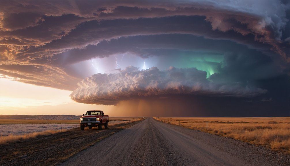
By late May, storm activity migrates northward into South Dakota and the broader Northern Plains, extending your intercept window well past the peak Kansas-Oklahoma season. Climate variability shifts moisture boundaries, while drought impacts can suppress surface-based instability, so verify soil moisture and dewpoint data before committing to a target.
Key positioning advantages here include:
- Open plains terrain delivers unobstructed supercell visibility
- Sparse road networks demand earlier target selection
- Storms often fire along residual outflow boundaries by late afternoon
- US-83 remains your primary north-south repositioning artery
- Longer daylight hours increase your effective intercept window
Track upper-level flow carefully—Northern Plains supercells can accelerate northeast rapidly. You’ll need aggressive forward positioning to stay ahead of storm motion and preserve clean escape routes.
Frequently Asked Questions
What Permits or Licenses Are Required for Professional Storm Chasing?
“Better safe than sorry” — you don’t need formal permits for storm chasing, but you’ll want proper safety equipment. Storm chasing regulations vary by state; always check local rules before deploying.
How Much Does a Typical Storm Chasing Expedition Cost?
You’ll typically spend $1,500–$5,000 per expedition, covering storm chasing gear, weather forecasting tools, fuel, lodging, and data subscriptions. Solo chasers minimize costs, while guided tours and advanced equipment deployments push budgets considerably higher.
What Insurance Coverage Do Storm Chasers Typically Carry?
Like armor before battle, you’ll need insurance policies covering all-encompassing auto, liability coverage for third-party damages, and high-risk vehicle protection. Most chasers also carry medical and equipment riders to safeguard gear investments.
Are There Age Restrictions for Participating in Storm Chasing Tours?
Most tour operators set age restrictions at 18+, though some allow minors with parental consent. You’ll need to review each company’s safety guidelines carefully, as policies vary and directly impact your operational flexibility in the field.
What Communication Devices Do Storm Chasers Rely on During Intercepts?
Like a pilot’s cockpit, you’ll rely on radar technology for real-time storm data and satellite communication to stay connected across remote Plains corridors, ensuring you’re always informed, mobile, and free to reposition safely.
References
- https://crazystormchasers.com/what-to-know-about-intercepting-severe-thunderstorms/
- https://www.reddit.com/r/stormchasing/comments/1aue7zg/best_place_to_watch_severe_thunderstorms/
- https://www.farmersalmanac.com/5-best-places-to-watch-a-thunderstorm
- https://crazystormchasers.com/how-to-choose-best-storm-chasing-location/
- https://crazystormchasers.com/top-tornado-alley-storm-chasing-routes/
- https://extremesportsx.com/2024/03/07/the-best-states-to-visit-for-storm-chasing/
- https://crazystormchasers.com/category/storm-chasing-locations-and-routes/
- https://www.reddit.com/r/stormchasing/comments/1ka20oo/chase_positioning/
- https://repository.library.noaa.gov/view/noaa/26823/noaa_26823_DS1.pdf
- https://www.weather.gov/spotterguide/supercellyou



