Intercepting severe thunderstorms means you’re operating near hail ≥1 inch, wind gusts exceeding 50 knots, or active tornadoes—so preparation isn’t optional. You’ll need to assess CAPE values, surface dewpoints, and wind shear before committing to a chase. Position yourself 2–5 km ahead of the updraft base and maintain confirmed escape routes at all times. Radar, dual-polarization data, and lightning networks are your core decision-making tools. What follows breaks down every critical layer you need to operate safely and effectively.
Key Takeaways
- Severe thunderstorms produce hail ≥1 inch, wind gusts exceeding 57.5 mph, or tornadoes, distinguishing them from standard thunderstorms.
- Optimal positioning is 2–5 km ahead and slightly right of the updraft base, with confirmed escape routes always available.
- Integrate radar, lightning detection, and satellite data continuously to track rotation, hail cores, and overall storm evolution.
- Shelter immediately if mesocyclone rotation tightens, hail exceeds one inch, or escape routes become blocked by hazards.
- Post-storm dangers persist, including downed power lines, flash flooding, and debris, requiring continuous hazard reassessment after dissipation.
What Makes a Thunderstorm Officially Severe?
Before you can safely intercept a severe thunderstorm, you need to understand exactly what earns that classification. Meteorologists apply a precise threshold: a storm becomes severe when it produces hail measuring at least one inch in diameter, wind gusts exceeding 50 knots (57.5 mph), or a tornado.
Standard rain showers with thunder don’t meet that bar, even when they feel threatening. That distinction matters directly to your storm chasing gear selection and positioning decisions—severe criteria signal dramatically escalating physical hazards.
Your storm safety protocols must activate the moment a storm crosses those thresholds, not after. A severe thunderstorm watch signals favorable conditions for development, while a warning demands immediate protective action.
Recognizing that line between ordinary and severe keeps your decision-making sharp and your risk calculated.
Moisture, Instability, and Lift: The Formation Triad
When you analyze thunderstorm formation, you’ll find three interdependent ingredients driving every event: moisture, instability, and a lifting mechanism.
Moisture supplies the fuel, feeding latent heat release as water vapor condenses and accelerates updraft development.
Instability determines how aggressively rising air parcels accelerate upward, while lifting mechanisms — fronts, outflow boundaries, or terrain — force that unstable, moisture-laden air to its convective trigger point.
Moisture Fuels Storm Growth
Though a single ingredient rarely triggers storm development on its own, moisture stands as the foundational fuel that makes thunderstorm growth possible. When you analyze pre-intercept data, surface dewpoints give you a direct measure of available moisture. Higher dewpoints indicate greater latent heat energy, which intensifies updrafts and accelerates cloud formation once lifting begins.
You’ll also want to assess wind shear across multiple atmospheric layers. Shear organizes convection and prevents premature dissipation, allowing storm structures to sustain themselves well into the mature stage.
Without adequate low-level moisture feeding that organized convection, even favorable shear profiles produce weak, short-lived cells.
Targeting moisture boundaries and moisture-rich corridors early in your planning lets you position more efficiently before storm initiation, maximizing both your observational opportunity and your margin for safe repositioning.
Unstable Air Drives Development
Atmospheric instability determines whether moisture and lift translate into explosive convective development or simply produce shallow, inconsequential cloud layers. When the environmental lapse rate steepens, rising parcels remain warmer than surrounding air, accelerating upward with minimal resistance.
You’re looking for high CAPE values—often exceeding 2,500 J/kg—when targeting environments capable of sustaining organized, intense convection.
Wind shear compounds instability’s role by organizing updrafts into rotating supercells rather than disorganized pulse storms. Directional and speed shear working together tilt storm updrafts, preventing precipitation from suppressing inflow.
For storm chasing, recognizing instability signatures through sounding data and surface-based CAPE analysis sharpens your targeting precision considerably.
Unstable air isn’t sufficient alone—it’s the interaction between instability, shear, and lift that produces the severe convective structures worth intercepting.
Lifting Mechanisms Trigger Storms
Moisture and instability prime the atmosphere for explosive convection, but without a lifting mechanism, that energy stays locked at the surface. Lifting mechanisms force air parcels upward past the level of free convection, triggering cloud condensation and releasing latent heat that accelerates vertical development.
You’ll encounter several primary triggers: frontal boundaries, dry lines, orographic terrain, and surface convergence zones. Each mechanically displaces surface air upward, overcoming convective inhibition.
Wind shear then shapes the storm’s structure, organizing updrafts and downdrafts into sustained, rotating supercells rather than short-lived pulse storms. When you’re targeting intercept opportunities, identifying active lifting mechanisms on morning surface analyses sharpens your positioning decisions considerably.
Without confirmed lift, even a highly unstable, moisture-rich environment produces nothing worth intercepting.
When to Chase and When to Find Shelter
Knowing when to pursue a storm and when to abandon the intercept for shelter is one of the most critical judgment calls you’ll make in the field.
You should chase only when you’ve confirmed a clear escape route, you’re positioned 2–5 km ahead and slightly right of the updraft base, and radar shows no indication of dangerous, rain-wrapped rotation blocking your path.
The moment conditions deteriorate—whether through a rapidly closing tornado, blinding precipitation, or an unplanned convergence of outflow boundaries—you must immediately prioritize reaching a sturdy building with a basement or interior lowest-floor room over any observational objective.
Recognizing Safe Chase Conditions
Deciding when to chase and when to shelter requires a clear-eyed read of both storm behavior and your own positioning. Your storm chasing gear and fluency in meteorological terminology both matter less if your situational awareness fails.
Assess these four conditions before committing to an intercept:
- Escape routes remain open — never let the storm cut off your exit.
- Radar confirms manageable precipitation cores — avoid blind drives through heavy rain or hail.
- Mesocyclone rotation is trackable — if the storm’s structure becomes obscured, reposition.
- Your distance stays 2–5 km ahead of the updraft base — closer means debris and large hail risk.
If any condition deteriorates, transition immediately to a sturdy shelter rather than pressing your position.
Identifying Immediate Shelter Triggers
Even when all four safe chase conditions hold, storm behavior can shift in seconds and force a hard stop on any intercept attempt. Trigger shelter immediately when storm tracking confirms a mesocyclone tightening toward your position, hail exceeding one inch enters your zone, or outflow winds destabilize your escape route.
If emergency communication fails and you can’t confirm storm movement, treat uncertainty as a shelter trigger. A tornado within two kilometers, rapidly expanding debris signature on dual-pol radar, or blocked exit roads each demand the same response: abandon the intercept and reach a sturdy structure with a basement or lowest interior room.
No positional advantage justifies overriding these triggers. Discipline at this decision point separates calculated interception from reckless exposure.
How to Pick the Right Intercept Position
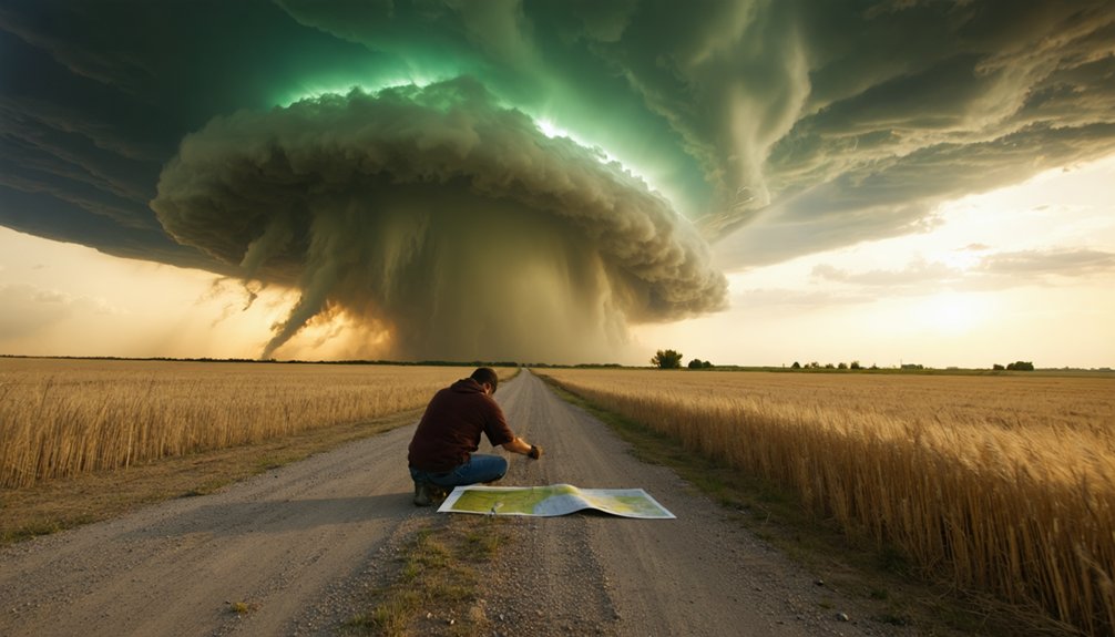
Follow these positioning principles:
- Assess escape routes first — never box yourself into dead-end roads near the storm core.
- Monitor radar continuously — identify precipitation intensity shifts before repositioning.
- Avoid blind precipitation drives — punching through hail cores compromises visibility and safety.
- Reposition early — if the storm accelerates or turns, move before you’re forced to react under pressure.
Disciplined positioning keeps you observing effectively while maintaining full withdrawal control.
Radar, Lightning Networks, and the Data Interceptors Trust
Once you’ve locked in a target area, the data tools you rely on will define how accurately you can track, time, and position against a developing storm. Doppler radar gives you precipitation intensity and wind patterns, while dual-polarization capability lets you distinguish debris signatures from rain and hail.
The tools you chase with define how close you can get—and how safely you can read what’s coming.
Mesocyclone rotation on radar signals active tornado potential in supercells. Lightning detection networks add another layer, flagging early electrical signatures before cloud-to-ground strikes develop.
Satellite imagery helps you assess storm-top structure, anvil spread, and convective trends between radar scans. Every piece of quality storm chaser gear should integrate these data streams in real time.
Gaps between updates matter, so you’ll need to interpret trends, not just snapshots, to make confident positioning decisions.
Hail, Flash Floods, and the Hazards Closest to the Storm Core
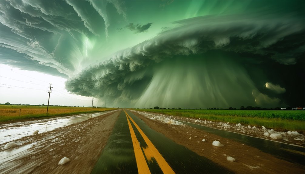
Positioning close to a storm core puts you directly in range of its most immediate physical hazards: large hail, flash flooding, falling trees, and downed power lines. Storm chasing ethics demand honest risk assessment before closing distance. Your storm chasing gear must match the threat level you’re entering.
Prioritize these four core hazards:
- Large hail can exceed 1 inch diameter, destroying vehicles and injuring exposed interceptors instantly.
- Flash flooding develops rapidly along roads and stream channels near heavy precipitation cores.
- Falling trees and power lines concentrate along outflow boundaries where wind gusts exceed 57.5 mph.
- Tornadic debris becomes lethal projectiles when you’re positioned too close to a confirmed rotation.
Respect these hazards before advancing your position.
Post-Storm Dangers Interceptors Can’t Afford to Ignore
When a storm dissipates, the hazard window doesn’t close with it. You’re still operating in a compromised environment. Downed power lines can energize standing water and pavement without visible warning. Floodwater conceals road damage, debris, and current strong enough to sweep vehicles off course.
Property damage from wind or hail may have destabilized structures along your exit route, making ordinarily safe roads unpredictable.
Wildlife disruption adds another variable. Animals displaced or agitated by storm activity behave erratically and can appear suddenly on roadways.
Spoiled food, compromised water sources, and extended power outages compound risk for anyone sheltering locally.
Don’t treat storm passage as clearance. Reassess your route using updated radar, surface reports, and local emergency broadcasts before moving. Post-storm complacency is its own threat.
Frequently Asked Questions
What Stages Does a Thunderstorm Go Through Before Fully Dissipating?
You’ll watch storm development unfold across three stages: developing, mature, and dissipating. Lightning progression intensifies during the mature phase, peaks with maximum updrafts, then weakens as downdrafts dominate and the storm’s energy finally collapses.
Can Severe Thunderstorms Occur During Winter or Nighttime Hours?
Yes, you’ll encounter severe thunderstorms year-round, including winter hazards and nighttime risks. They strike at any hour, demanding constant situational awareness, radar monitoring, and adaptive decision-making regardless of season or darkness conditions.
Which Shelters Should Interceptors Avoid Seeking Refuge in During Storms?
Huddled under a flimsy gazebo as lightning cracks overhead—you’re not safe. Avoid sheds, gazebos, dugouts, bleachers, and trees for storm shelter. These structures offer zero shelter safety, leaving you dangerously exposed during severe thunderstorms.
How Do Interceptors Use Morning Sounding Data During Early Targeting?
You’ll analyze early data from morning soundings to assess atmospheric instability, moisture depth, and wind shear profiles. These sounding insights help you pinpoint your target area, refine timing, and position yourself strategically before storm initiation begins.
What Home Improvements Reduce Personal Risk From Nearby Thunderstorms?
You’ll reduce personal risk by installing lightning rods to safely ground strikes, fitting stormproof windows to resist wind and debris impact, trimming hazardous trees, applying surge protection, and establishing lightning protection systems throughout your home’s electrical infrastructure.
References
- https://www.weather.gov/bmx/sps_svrsafetyrules
- https://www.nssl.noaa.gov/education/svrwx101/thunderstorms/
- https://www.redcross.org/get-help/how-to-prepare-for-emergencies/types-of-emergencies/thunderstorm.html
- https://www.ready.gov/thunderstorms-lightning
- https://journals.ametsoc.org/view/journals/wefo/14/4/1520-0434_1999_014_0558_ahossi_2_0_co_2.xml
- https://crazystormchasers.com/optimizing-storm-interception-advanced-weather-analysis-techniques/
- https://crazystormchasers.com/what-role-does-radar-technology-play-in-intercepting-severe-thunderstorms/



