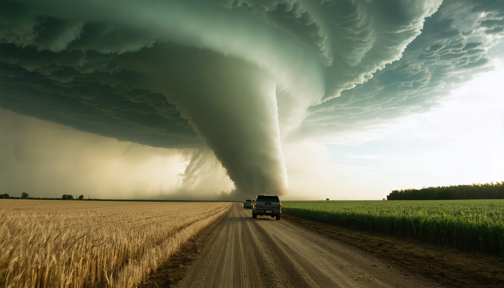
Tornado Alley is a high-risk corridor spanning roughly 500,000 square miles across the central United States, where competing air masses collide to create the most tornado-prone conditions on Earth. You’ll find its core states in Texas, Oklahoma, Kansas, and Nebraska, centered near 35°N 88°W. The region generates about one-fourth of all significant U.S. tornadoes annually. There’s much more to understand about why this corridor forms, how it’s shifting, and what that means for you.
Key Takeaways
- Tornado Alley is a high-frequency tornado region in the central United States, spanning approximately 500,000 square miles.
- The term was first used in 1952 during severe weather research and has no official boundaries designated by the National Weather Service.
- Core states include Texas, Oklahoma, Kansas, and Nebraska, with extended boundaries reaching Arkansas, Illinois, Indiana, Iowa, and Minnesota.
- The region produces about one-fourth of all significant U.S. tornadoes, with activity peaking during spring and early summer.
- Evidence suggests Tornado Alley is shifting eastward, with increasing tornado frequency reaching Ohio, Michigan, and the Canadian Prairies.
What Exactly Is Tornado Alley?
Tornado Alley is a loosely defined region in the central United States where atmospheric conditions consistently produce a higher frequency of tornadoes than anywhere else in the world.
The National Weather Service hasn’t officially designated its boundaries, making it primarily a media term supported by data from the National Severe Storms Laboratory. First used in 1952 during a severe weather research project, it broadly encompasses Texas, Louisiana, Oklahoma, Kansas, South Dakota, Iowa, and Nebraska.
The term “Tornado Alley” is largely a media creation, with no official boundaries recognized by the National Weather Service.
You’ll want to separate tornado myths from verified meteorological data when evaluating your risk in this zone. Understanding the region’s actual boundaries, rather than popular misconceptions, directly improves your safety tips planning.
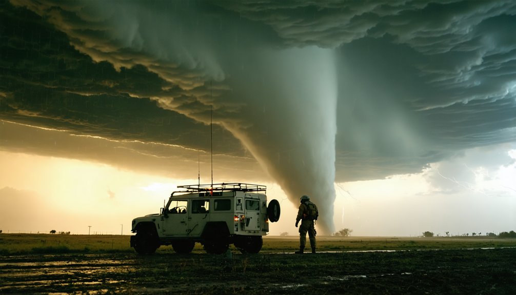
Contrasting air masses colliding across this corridor create the thunderstorms and supercells responsible for its dangerous, record-breaking tornado frequency.
Where Is Tornado Alley Located on the Map?
If you’re pinpointing Tornado Alley on a map, you’ll find its core centered around eastern Kansas and Oklahoma, extending through northern Texas, Nebraska, and South Dakota at approximately 35°N 88°W.
Beyond that core, you can trace its extended boundaries across Arkansas, Illinois, Iowa, Missouri, Minnesota, and eastern portions of Colorado, New Mexico, and Wyoming.
These coordinates and state boundaries give you a working geographic framework, though no officially designated boundary exists.
Core States And Region
Stretching across the Great Plains, Tornado Alley‘s core region centers on eastern Kansas and Oklahoma, extending north through Nebraska and south through northern Texas. These core characteristics define a zone where flat terrain accelerates tornado frequency and intensity.
You’re looking at a region where:
- Eastern Kansas and Oklahoma serve as ground zero, recording consistently high annual tornado counts.
- Nebraska and South Dakota form the northern boundary, experiencing significant supercell activity.
- Northern Texas anchors the southern edge, where Gulf moisture fuels violent storm development.
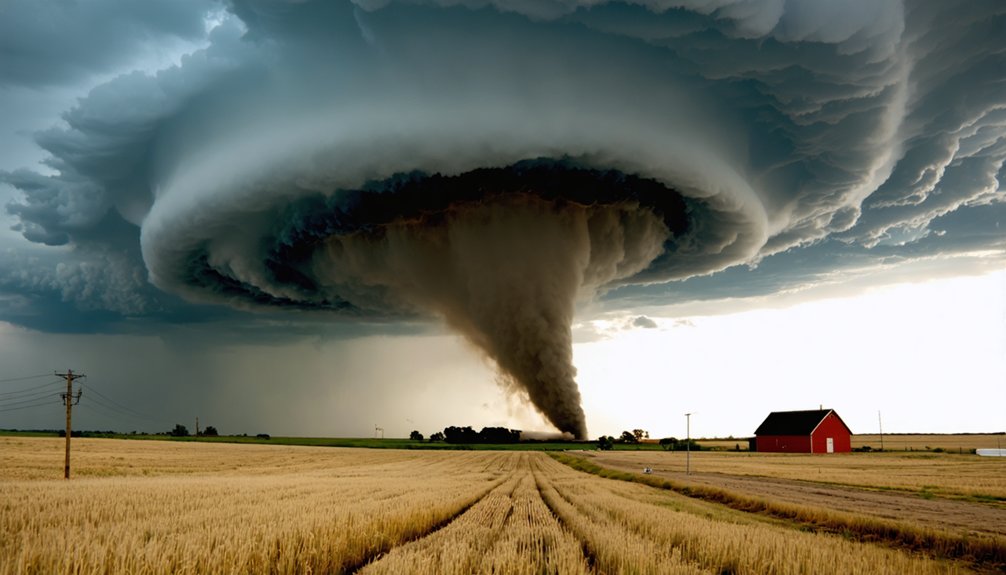
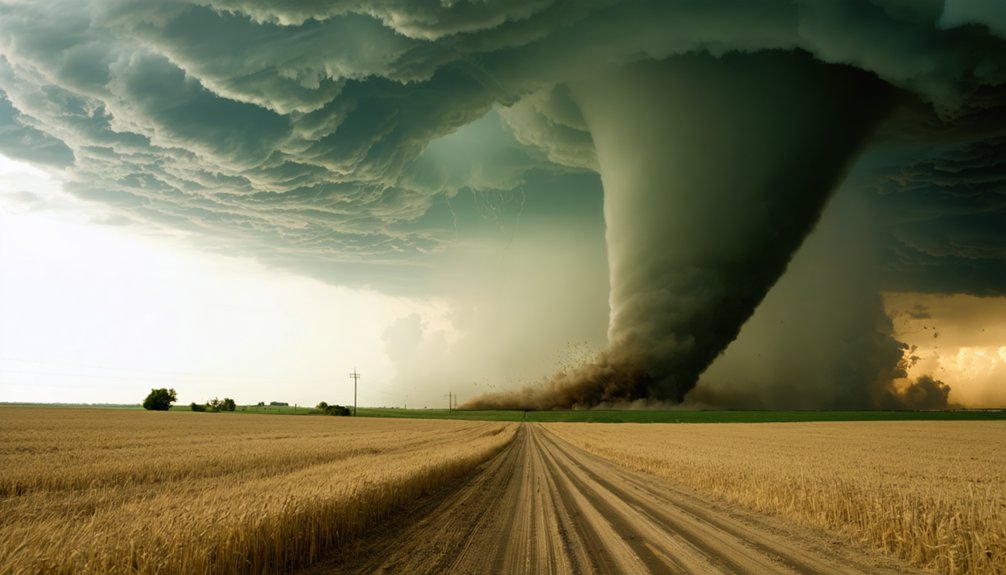
The terrain’s flatness isn’t coincidental—it’s functional. Tornadoes travel unimpeded across these open plains, directly impacting populated areas.
Coordinates centered near 35°N 88°W place this high-risk corridor precisely where contrasting air masses repeatedly collide with devastating efficiency.
Extended Boundary Areas
Beyond the core states, Tornado Alley’s boundaries stretch considerably further—and you’ll find no official map from the National Weather Service to settle the debate.
Extended boundaries vary by researcher, but common definitions pull in Arkansas, Illinois, Indiana, Iowa, Minnesota, Missouri, Montana, North Dakota, Ohio, Wisconsin, and eastern portions of Colorado, New Mexico, and Wyoming.
Tornado frequency data drives these inclusions. Some climatologists expand the region into Florida, Illinois, Iowa, and Missouri based on intensity metrics rather than raw count alone.
You’re looking at a zone shaped by competing criteria—frequency, severity, and affected population—not a fixed political line. The National Severe Storms Laboratory confirms these borders shift depending on which variables analysts prioritize, meaning you won’t find two identical maps defining the same region.
Geographic Coordinates Overview
Tornado Alley sits roughly between 95°W and 104°W longitude and 30°N and 45°N latitude, placing its core across the Great Plains of the central United States.
These coordinates’ significance becomes clear when you examine where warm Gulf air collides with cool Canadian and Rocky Mountain air, producing the supercells that drive tornado paths through populated regions.
Visualize the zone using these reference points:
- Southern anchor: Northern Texas and Oklahoma, near 30°N–35°N
- Central corridor: Kansas and Nebraska, spanning 37°N–42°N
- Northern reach: South Dakota approaching 45°N
You’re looking at a roughly 500,000-square-mile corridor where flat terrain removes natural barriers.
This open geography lets tornadoes travel freely, intensify rapidly, and strike communities with minimal warning time.
Why Does Tornado Alley Get So Many Tornadoes?
When you look at Tornado Alley‘s extreme tornado frequency, three core factors explain it: colliding air masses, favorable terrain, and Gulf moisture.
You’re seeing warm, humid air from the Gulf of Mexico crash directly into cool, dry air descending from the Rockies and Canada, generating the violent atmospheric instability that fuels supercells.
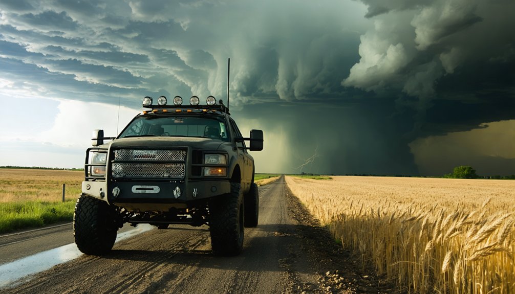
The region’s flat plains terrain then gives those storm systems an unobstructed path to develop and travel, while the consistent Gulf moisture pipeline keeps the atmosphere primed for rapid tornado formation throughout spring and summer.
Colliding Air Masses
The sheer frequency of tornadoes in Tornado Alley isn’t accidental—it’s the direct result of colliding air masses that converge over the Great Plains with remarkable consistency.
These air mass interactions create unstable atmospheric conditions that fuel intense thunderstorm dynamics.
Three distinct air masses collide here:
- Warm, humid Gulf air pushes northward, carrying moisture crucial for storm development
- Cool, dry Canadian air sweeps southward, creating sharp temperature contrasts
- Dry, descending Rocky Mountain air moves eastward, establishing critical wind shear
When these forces meet across flat terrain, the atmosphere becomes explosively unstable.
You’re fundamentally watching nature’s most efficient tornado-generating machine operate seasonally.
Supercells develop rapidly, rotating violently as wind speed and direction change dramatically with altitude—producing conditions unmatched anywhere else on Earth.
Geographic Terrain Advantages
Beyond the colliding air masses, flat terrain amplifies tornado formation in ways that mountainous or forested regions simply can’t replicate.
When you examine the geographical influences driving Tornado Alley’s activity, the Great Plains‘ unobstructed landscape emerges as a critical factor.
Flat terrain allows cold Canadian air and warm Gulf moisture to travel hundreds of miles without elevation interference. Mountains deflect and weaken air masses; plains don’t. This unimpeded flow accelerates wind shear development, a direct tornado formation trigger.
The absence of natural barriers also means tornadoes, once formed, can travel significant distances across populated areas without terrain disruption.
Oklahoma and Kansas sit precisely where these geographical influences converge most powerfully, explaining their disproportionately high tornado frequencies compared to topographically varied regions elsewhere in the country.
Gulf Moisture Influence
Warm, humid air streaming northward from the Gulf of Mexico serves as Tornado Alley‘s primary fuel source, supplying the atmospheric moisture and instability that thunderstorms and supercells require to develop.
These moisture sources interact violently with cool, dry air descending from Canada and the Rockies, creating ideal tornado conditions. Humidity patterns across the region shift dramatically with the seasons, peaking in spring and summer when Gulf flow intensifies.
Key atmospheric dynamics you’ll recognize:
- Dewpoints exceeding 60°F, signaling explosive thunderstorm potential
- Low-level jet streams channeling Gulf moisture deep into Oklahoma and Kansas overnight
- Sharp moisture boundaries where humid Gulf air collides with dry continental air masses
This collision zone concentrates atmospheric energy, making Tornado Alley one of Earth’s most tornado-prone corridors.
Which States Fall Inside Tornado Alley?
Since no official boundaries have been designated by the National Weather Service, defining which states fall inside Tornado Alley depends on the criteria used.
Tornado statistics and historical tornadoes consistently point to a core region: Texas, Oklahoma, Kansas, and Nebraska. Extended definitions incorporate Arkansas, Illinois, Indiana, Iowa, Minnesota, Missouri, Montana, North Dakota, Ohio, Wisconsin, and eastern portions of Colorado, New Mexico, and Wyoming.
The core of Tornado Alley spans Texas, Oklahoma, Kansas, and Nebraska, with broader definitions extending into surrounding states.
You’ll find that broader classifications account for tornado frequency, intensity, and affected population areas. Oklahoma City holds the record for most recorded tornadoes, reinforcing Oklahoma’s central position within any definition.
Studies analyzing historical tornadoes from 1921–1995 confirm that roughly one-fourth of all significant tornadoes struck this region. Regardless of which definition you apply, the southern plains consistently dominate tornado statistics across every credible measurement framework.
How Many Tornadoes Does Tornado Alley Produce Each Year?
Tornado Alley produces hundreds of tornadoes annually, though exact counts shift depending on boundary definitions and measurement criteria. Tornado frequency peaks in spring and early summer, when Gulf moisture collides with cold continental air.
Annual statistics consistently show this region generating roughly one-fourth of all significant U.S. tornadoes.
Key data points you should recognize:
- Oklahoma City holds the record for most documented tornadoes of any city, with winds exceeding 316 mph recorded on May 3, 1999.
- Core states—Texas, Oklahoma, Kansas, Nebraska—report the highest yearly tornado averages nationally.
- A 1921–1995 study confirmed this corridor contains a disproportionate concentration of violent tornadoes.
You’re looking at a region where atmospheric conditions don’t just occasionally align—they repeatedly, predictably converge to produce dangerous tornado activity year after year.
Is Tornado Alley Shifting East?
Evidence suggests the main alley is shifting eastward from the Great Plains, with tornado frequency climbing in northern and eastern regions that once saw comparatively little activity.
You’re now seeing increased occurrences reaching the Canadian Prairies, Ohio, and Michigan, alongside Southern Ontario. Climate impact appears to be driving these patterns, redistributing severe weather risk across broader territories.
Tornado climatologists have identified a distinct offshoot called Dixie Alley, an oval-shaped zone covering eastern Arkansas, Louisiana, Mississippi, Alabama, and Georgia.
This region experiences its own peaks in tornado activity, separate from traditional alley patterns. Experts still disagree on whether these shifts represent permanent climatological changes or natural variability.
Regardless, understanding evolving tornado frequency patterns helps you accurately assess risk wherever you live.
What Is Dixie Alley and Is It Separate?
Within that broader eastward shift sits a distinct severe weather corridor that demands its own classification: Dixie Alley. This oval-shaped region stretches across eastern Arkansas, Louisiana, Mississippi, Alabama, and Georgia, producing tornado characteristics that differ sharply from traditional alley patterns.
You’re dealing with a zone where:
- Nighttime tornadoes strike with reduced visibility, cutting your warning response time dramatically.
- Dense tree cover obscures funnel clouds, masking approach until impact is imminent.
- Higher population vulnerability exists due to mobile home concentrations across rural corridors.
Climatologists actively debate whether Dixie Alley operates as a separate system or functions as an extension of the main alley.
The debate continues: Is Dixie Alley its own beast, or simply an eastward arm of the main corridor?
The data supports treating it independently — its seasonal peaks, terrain conditions, and tornado characteristics don’t mirror Great Plains patterns.
Frequently Asked Questions
What Record-Breaking Tornado Occurred in Oklahoma City in 1999?
On May 3, 1999, you’d witness Oklahoma City’s record-breaking tornado, clocking winds over 316 mph and causing $1 billion in damage. Your tornado safety and storm preparation plans must account for such extreme, unprecedented supercell events.
When Was the Term Tornado Alley First Officially Used?
You’ll find that “Tornado Alley” first entered tornado history in 1952, when researchers studying storm patterns launched a severe weather project covering Texas, Louisiana, Oklahoma, Kansas, South Dakota, Iowa, and Nebraska.
Does the National Weather Service Officially Designate Tornado Alley’s Boundaries?
No, the National Weather Service doesn’t officially designate Tornado Alley’s boundaries. You’ll find weather patterns vary, making precise limits difficult. For Tornado preparedness, you should understand it’s a media term, not a formally defined meteorological zone.
What Percentage of Significant Tornadoes Occur Within Tornado Alley?
Like a magnet drawing metal shards, you’ll find one-fourth of significant tornadoes concentrated here. Tornado frequency peaks where atmospheric conditions collide, as studies of 1921–1995 data confirm 25% of major twisters strike Tornado Alley’s boundaries.
Which City Holds the Record for Most Recorded Tornadoes Overall?
You’ll find Oklahoma City tops city rankings for tornado frequency, holding the record for most recorded tornadoes overall. It’s a data-driven fact that no other city matches its documented tornado occurrences throughout meteorological history.
References
- https://en.wikipedia.org/wiki/Tornado_Alley
- https://www.accuweather.com/en/weather-news/what-is-tornado-alley-2/432271
- https://www.groundzeroshelters.com/blog/what-is-tornado-alley
- https://www.belfor.com/us/en/resources/where-is-tornado-alley/
- https://survive-a-storm.com/blog/tornado-alley-vs-dixie-alley-a-comparison/
- https://storymaps.arcgis.com/stories/46aac0c525634c579443ad1a0c12dfc2
- https://www.ncei.noaa.gov/access/monitoring/tornadoes/tornado-alley