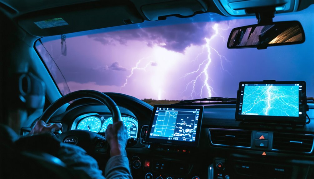
When you analyze storm chaser data, you’re converting raw field observations into calibrated atmospheric intelligence that sharpens forecast accuracy, validates radar signatures, and drives faster, more reliable severe weather warnings. Chasers aren’t forecasters—they’re ground-truth collectors whose real-time measurements feed directly into high-resolution models like HRRR, reducing forecast uncertainty. Their validated data strengthens emergency response decisions, refines warning specificity, and builds stronger severe storm databases. There’s considerably more to how this process works across forecasting, research, and public safety systems.
Key Takeaways
- Storm chaser data is analyzed to verify radar signatures, improving the accuracy and reliability of official severe weather warnings.
- Analysis integrates chaser observations into forecast models like HRRR, reducing prediction uncertainty and enhancing storm behavior understanding.
- Validated chaser data strengthens severe weather historical databases, supporting long-term climatological research and atmospheric model improvements.
- Analyzed chaser reports enable strategic emergency resource deployment, improving response times and overall public safety during severe storms.
- Data analysis ensures meteorological accuracy before broadcast, maintaining public trust and preventing dissemination of unverified storm information.
What Storm Chasers Actually Do and Why Their Data Gets Analyzed
Although storm chasers are often mistakenly associated with weather forecasting, they don’t predict storms or issue warnings — that’s the National Weather Service‘s job. You should understand that chasers operate as field observers, using technological innovations like mobile radar and atmospheric sensors to collect ground truth data that verifies what radar systems suggest.
Their observations confirm storm severity, location, and behavior in real time, feeding critical information back to emergency authorities. Scientists then analyze this data through historical case studies, cross-referencing multi-angle measurements of wind, temperature, humidity, and pressure to refine tornado theories and predictive models.
You’re fundamentally looking at a verification system — chasers don’t create forecasts, they validate them. That raw observational data ultimately strengthens forecast accuracy, improves warning systems, and advances climatological databases for future meteorological research.
What Separates Storm Chasers From Actual Weather Forecasters
Storm chasers collect observational data in the field, while meteorologists analyze atmospheric models and issue official forecasts and warnings. You should understand this distinction clearly: chasers verify what radar suggests, reporting ground-truth observations back to certified authorities. They don’t possess forecast independence — they don’t predict weather, issue warnings, or carry meteorological credentials authorizing official severe weather communication.
Storm chasers observe. Meteorologists forecast. One verifies radar signatures; the other transforms raw data into official warnings.
Meteorologists operate within structured institutional frameworks, running ensemble models like HRRR and CAMS, interpreting multi-variable atmospheric data, and translating complex outputs into actionable public warnings.
Chasers operate in the field, confirming or contradicting radar-indicated storm signatures through direct observation.
Both roles are scientifically valuable, but functionally distinct. Chasers feed raw data upstream; meteorologists transform that data into verified forecasts that drive emergency response and public safety decisions.
How Storm Chaser Data Strengthens Forecast Models and Warnings
While chasers operate distinctly from meteorologists, their field-collected data feeds directly into the forecast pipeline that drives official warnings. You’re looking at a process where ground-truth observations from chasers enter data assimilation systems, allowing models to ingest real-time atmospheric measurements that radar alone can’t capture.
Temperature, pressure, humidity, and wind data collected at storm-level resolution sharpen model calibration, reducing uncertainty in ensemble forecasts. High-resolution models like HRRR process these inputs to generate more precise storm track and intensity predictions.
When chasers confirm what radar signatures suggest, forecasters issue warnings with greater confidence and accuracy. This verification loop directly strengthens the reliability of severe weather databases, ultimately improving forecast skill and enabling emergency services to deploy resources before conditions deteriorate beyond manageable thresholds.
How Storm Chasers Support Emergency Response Operations
When storm chasers share real-time field observations with emergency management teams, you’ll find that response operations become markedly more precise and efficient.
Their ground-truth data enables coordinators to deploy resources—personnel, equipment, and shelters—directly to areas facing the greatest threat.
You can trace countless successful evacuations back to timely chaser reports that confirmed radar signatures and accelerated the issuance of actionable warnings.
Real-Time Data Sharing
Real-time data sharing forms the operational backbone connecting storm chasers directly to emergency response teams. You benefit when chasers transmit ground-level observations instantly, enabling authorities to validate radar signatures against historical patterns for stronger data validation. This live exchange sharpens decision-making when seconds matter most.
Three critical functions define real-time data sharing:
- Verification – Chasers confirm radar-indicated rotation, giving emergency teams actionable ground truth rather than assumptions.
- Resource Deployment – Accurate field reports allow strategic positioning of personnel and equipment before impact occurs.
- Warning Precision – Validated observations refine alert specificity, reducing false alarms that erode public trust.
You gain resilience when this data pipeline operates efficiently. The integration of chaser reports into emergency frameworks transforms raw atmospheric observations into life-protecting decisions.
Resource Deployment Efficiency
Data flowing in from real-time chaser reports doesn’t just sharpen warning systems—it directly shapes how emergency services allocate personnel, equipment, and logistics before and during a storm event.
When you analyze chaser observations alongside historical patterns, you identify which zones face the highest threat density, enabling smarter resource prioritization rather than broad, inefficient deployment.
Emergency teams use high-resolution field data to position rescue units, medical personnel, and supply caches within projected impact corridors.
You’re not guessing—you’re acting on verified ground-truth intelligence that confirms radar-indicated severity.
This precision reduces response lag, cuts operational waste, and keeps critical assets available where damage is statistically most probable.
Targeted deployment strategies, built from chaser-sourced data, ultimately strengthen your emergency infrastructure’s capacity to protect lives efficiently and decisively.
Timely Evacuation Facilitation
Accurate, timely evacuation decisions depend on verified field intelligence that radar alone can’t always provide. Storm chasers deliver ground-truth confirmation that empowers authorities to trigger safety protocols precisely when communities need them most.
When chasers relay real-time observations, you’ll see three direct evacuation benefits:
- Confirmation speed — Field reports validate radar signatures faster, compressing decision timelines for emergency coordinators.
- Precision targeting — Chasers identify exact storm positioning, allowing evacuations to cover only genuinely threatened zones rather than unnecessarily broad areas.
- Community resilience reinforcement — Accurate field data reduces false alarms, preserving public trust and compliance during future evacuation orders.
You’re fundamentally getting a verification layer that radar models can’t independently provide. That layered intelligence protects your freedom to make informed, timely decisions before conditions deteriorate.
How Chaser Field Data Builds More Reliable Storm Research
When storm chasers deploy into the field, they collect multi-angle measurements of wind speed, temperature, humidity, and pressure that ground-based radar simply can’t replicate on its own. This raw observational input feeds directly into severe storm databases, strengthening historical data that scientists rely on to test and refine tornado formation theories.
Data validation becomes critical here — ground truth reports confirm or challenge what radar algorithms suggest, filtering out noise and increasing database accuracy. You benefit from this process every time a forecast model produces a sharper, faster warning.
High-resolution field observations expose gaps in existing atmospheric models, pushing researchers to recalibrate their assumptions. Over time, these incremental improvements compound, producing forecast systems that are measurably more reliable, giving communities the actionable intelligence they need to make independent, informed safety decisions.
How Storm Chaser Data Reaches the Public Through Media
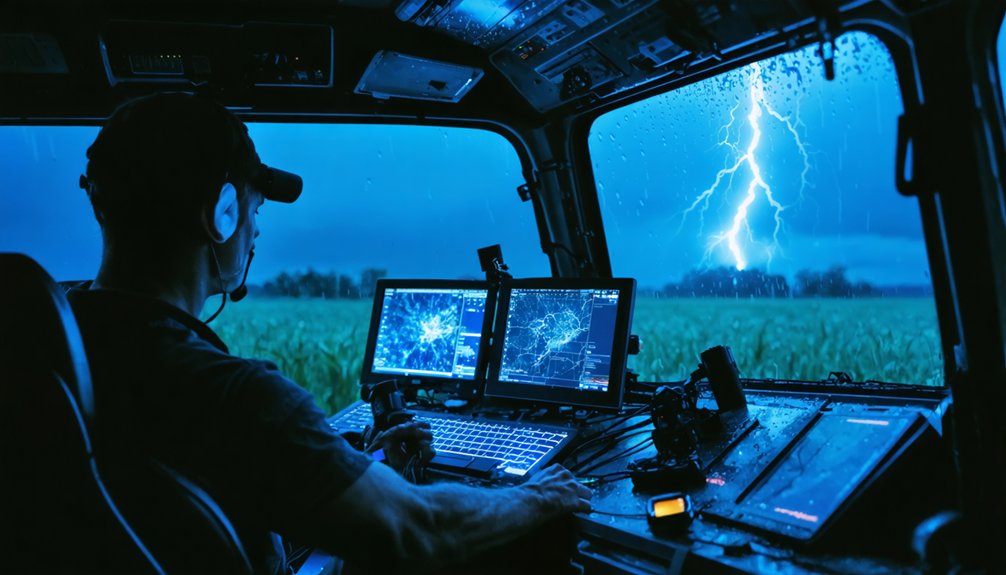
Once that field-verified data exits the research pipeline, it moves quickly into public-facing channels where media outlets translate raw chaser observations into actionable weather reporting. Data validation confirms chaser reports before broadcasts reach you, ensuring meteorological accuracy drives every public alert.
Field-verified chaser data moves fast — validated before it reaches you, ensuring every public alert is meteorologically sound.
Media integrates chaser data through three key mechanisms:
- Real-time reporting — Verified chaser observations feed directly into live broadcasts, giving you immediate situational awareness during active severe weather events.
- Warning amplification — Accurate ground-truth reports strengthen official NWS alerts, helping media communicate precise threat levels to your community.
- Visual documentation — Chaser footage contextualizes radar data, translating complex atmospheric readings into comprehensible visuals you can act on independently.
This streamlined process empowers you with reliable, validated information, reducing your dependence on incomplete or delayed official communications.
Frequently Asked Questions
What Technology Do Storm Chasers Use to Collect Atmospheric Data?
You’ll use advanced radar systems, weather balloons, and mobile mesonets for storm tracking, collecting wind, pressure, and humidity data. Data visualization tools then help you analyze atmospheric conditions, refining predictive models efficiently.
How Are Predictive Algorithms Optimized Using Storm Chaser Observations?
You’ll enhance predictive algorithms by feeding storm chaser observations directly into forecast models, improving data accuracy and refining storm pattern recognition, ultimately optimizing ensemble systems like HRRR to deliver faster, more reliable severe weather predictions for your community.
What Role Does Ensemble Forecasting Play in Analyzing Chaser Data?
Ensemble forecasting bolsters storm reliability by running multiple models simultaneously, letting you validate chaser data against varied simulations. It’s a powerful data validation tool that quantifies forecast uncertainty, ensuring you’re working with the most accurate, freedom-enabling storm predictions possible.
How Long Does Post-Collection Storm Data Analysis Typically Take?
Like piecing together a cosmic puzzle, post-collection storm data analysis takes years. You’ll find scientists combining instruments and applying rigorous analysis techniques to construct a complete, multi-dimensional picture of each storm’s complex behavior.
Which Advanced Forecast Models Benefit Most From Storm Chaser Data?
You’ll find that high-resolution models like HRRR and CAMS benefit most from storm chaser data. They rely on data validation and historical trends to optimize ensemble forecasting, enhancing atmospheric predictions and refining algorithm accuracy effectively.
References
- https://www.reddit.com/r/stormchasing/comments/lvub71/how_important_are_storm_chasers_in_giving_data_or/
- https://www.preventionweb.net/news/what-do-storm-chasers-really-do-two-tornado-scientists-take-us-inside-chase-and-tools-studying
- https://www.stormchasingusa.com/blog/learning-the-basics-about-tornadic-storm-forecasting/
- https://en.wikipedia.org/wiki/Storm_chasing
- https://crazystormchasers.com/storm-chaser-storm-prediction-accuracy-analysis/
- https://www.youtube.com/watch?v=Rg4vomBlnec
- https://www.youtube.com/watch?v=MCWCqGOZ99k
- https://www.facebook.com/groups/470395264442262/posts/1492963092185469/