Storm chaser strategies are essential because a single model error or misread boundary can eliminate your intercept window entirely. You’re stacking GFS, ECMWF, NAM3K, and HRRR models to build forecast confidence, then validating against real-time radar, SPC mesoanalysis, and surface observations on chase day. All four ingredients—moisture, instability, lift, and shear—must align simultaneously, and even a 20-mile target error shifts everything. The deeper mechanics of why each layer matters are worth understanding.
Key Takeaways
- Model stacking with GFS, ECMWF, NAM3K, and HRRR improves forecast accuracy by layering broad patterns with storm-scale detail.
- Real-time radar, satellite imagery, and surface observations override outdated model solutions, ensuring accurate field decisions.
- Identifying all four ingredients—moisture, instability, lift, and wind shear—simultaneously confirms whether storm development will occur.
- Even 20–30 mile target placement errors can shift intercept windows, increase risk, and cause missed tornado opportunities.
- Combining mesoanalysis, live radar, and surface data reduces repositioning errors and refines storm predictions continuously.
Why Storm Chasers Stack Multiple Models Before Picking a Target
Before committing to a target, storm chasers stack multiple forecast models because no single model captures the full picture reliably. You start with GFS and ECMWF for broad pattern recognition, then shift to NAM3K and HRRR as the event approaches for storm-scale detail.
No single model owns the truth. Stack GFS, ECMWF, NAM3K, and HRRR—then commit to your target.
Model consensus matters because when multiple runs converge on the same solution, your confidence in that target strengthens considerably. When models diverge, that divergence signals forecast uncertainty you can’t ignore.
Ensemble runs help you identify whether a solution is robust or an outlier. You treat each model as one data point, not a verdict.
Stacking models isn’t redundancy for its own sake—it’s disciplined risk assessment that keeps your target selection grounded in the most complete atmospheric picture available.
Why Real-Time Data Beats Models on Chase Day
Once you’re en route, real-time data becomes more reliable than model output because atmospheric conditions evolve faster than model update cycles can track. Short-term convection models swing between runs, amplifying forecast uncertainties that surface observations resolve more quickly.
SPC mesoanalysis lets you identify shifting instability gradients, moisture boundaries, and mesoscale features that no pre-chase model captured accurately.
Visible satellite imagery reveals boundary interactions and cloud-growth timing in near-real-time, cutting through historical trends that earlier guidance relied on too heavily.
Local soundings verify actual temperature and moisture profiles before you commit to a target. When live radar confirms storm structure and surface dewpoints hold above 60°F, that direct observational data overrides any model solution.
Prioritizing real-time inputs keeps your positioning accurate and your decision-making disciplined.
The Four Ingredients That Determine Whether Storms Fire
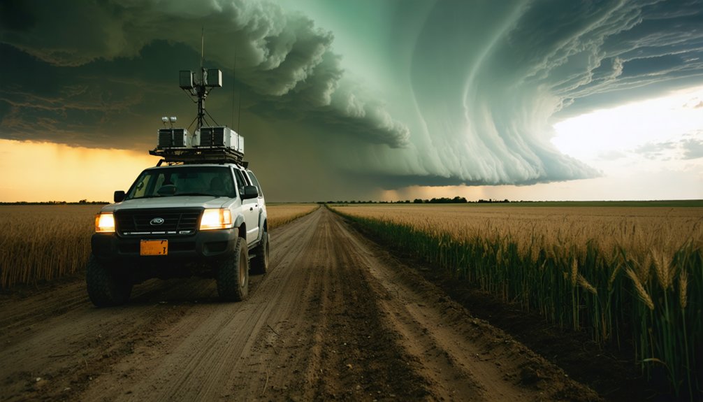
Moisture, instability, lift, and wind shear form the four-ingredient framework that determines whether convection actually develops. You can’t rely on just one signal—each ingredient must align simultaneously.
Dewpoints above 60°F confirm adequate moisture, while MLCAPE exceeding 1,500 J/kg indicates explosive instability potential. Without sufficient lift from boundaries, dry lines, or frontal forcing, even rich thermodynamic environments won’t fire.
Wind shear defines storm mode and rotational potential. Hodograph shape and 0–1 km storm-relative helicity reveal whether supercells can sustain themselves.
Climate variability increasingly complicates baseline assumptions, shifting moisture and instability patterns beyond historical norms. Forecast uncertainty compounds when one ingredient appears marginal—a weak shear profile can undercut an otherwise favorable setup entirely.
Evaluating all four ingredients together, not individually, sharpens your prediction accuracy before committing to any target.
How Radar Keeps Storm Chaser Forecasts Accurate in the Field
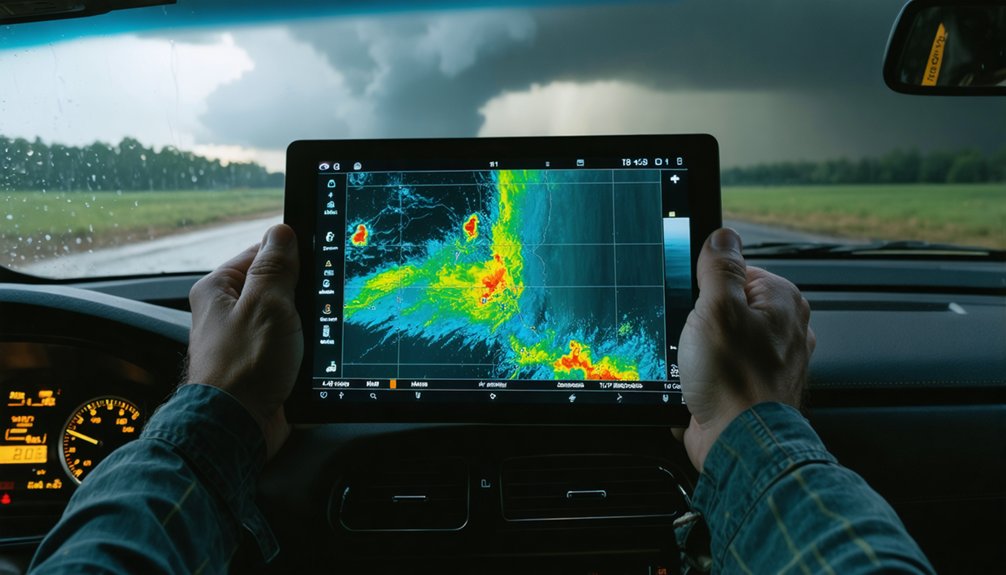
Radar transforms real-time storm data into actionable forecast corrections the moment conditions diverge from your pre-chase model. Tools like RadarScope and RadarOmega let you track storm structure, velocity, and rotation continuously, so you’re not locked into earlier assumptions.
When radar shows unexpected deviant motion or rapid intensification, you reposition proactively rather than reactively. Pair radar with satellite imagery to identify boundary interactions and convective initiation that models missed.
Surface observations ground-truth what both radar and satellite suggest, confirming dewpoint recovery, wind shifts, or outflow boundaries before you commit to a new intercept position.
Monitoring the full storm system, not just the mesocyclone, gives you earlier warning of structural changes. That integrated workflow keeps your forecast accurate when conditions evolve faster than any pre-chase model predicted.
Why a Small Target Error Can Cost a Storm Chaser Everything
A target placement error of even 20–30 miles can shift your intercept window from a favorable storm-relative position to one where escape routes narrow and storm structure becomes unreadable.
Forecast uncertainty compounds this risk—short-range model swings, boundary misidentification, or a misread sounding can quietly erode your positioning before storms initiate.
Historical patterns show that chasers who anchor too rigidly to an initial target often find themselves ahead of a discrete supercell or trapped east of a linear segment with no clean exit.
You’re not just missing a tornado; you’re absorbing the full operational cost of a failed forecast.
Blending SPC mesoanalysis, live radar, and surface observations keeps your target fluid, reducing the margin that separates a clean intercept from a dangerous repositioning scramble.
Frequently Asked Questions
How Do Backup Communication Systems Help Storm Chasers Maintain Accurate Predictions?
Backup systems protect your signal integrity when cellular networks fail. You’ll maintain real-time radar, GPS, and storm data through redundancy protocols—radios, battery packs, and inverters—ensuring continuous, accurate predictions even as storm conditions rapidly evolve.
Why Does Ensemble Forecasting Improve Confidence Over Relying on a Single Model?
“Don’t put all your eggs in one basket”—ensemble forecasting boosts your confidence through model validation by running multiple solutions. You’ll catch data integration patterns showing agreement, reducing single-model bias and sharpening your storm prediction accuracy.
How Do Storm Chasers Use Radiosonde Data Before Committing to a Target?
You use radiosonde analysis to verify temperature, moisture, and wind profiles, giving you real forecast validation before committing to a target. It’s your data-driven checkpoint, ensuring atmospheric ingredients align with model expectations and freeing you from guesswork.
Why Are Multiple Escape Routes Considered Part of Accurate Operational Forecasting?
Think freedom means no plan? You’re wrong. Multiple escape routes aren’t just safety—they’re emergency planning and risk management tools that keep your positioning accurate when storms shift structure unpredictably, protecting your operational forecasting decisions.
How Does Post-Chase Review Help Storm Chasers Refine Future Forecast Accuracy?
When you review chase outcomes, you’ll sharpen future forecasts through storm pattern analysis and risk assessment, comparing predicted versus actual conditions to identify model gaps, refine ingredient thresholds, and build a disciplined, data-driven workflow for smarter, independent decision-making.
References
- https://www.youtube.com/watch?v=6otZLjSZvPU
- https://www.pbs.org/newshour/science/inside-the-dangerous-and-unpredictable-science-of-storm-chasing
- https://crazystormchasers.com/effective-storm-chasing-forecasting-methods/
- https://www.youtube.com/watch?v=Rg4vomBlnec
- https://www.youtube.com/watch?v=rhI__lS3nEo
- https://www.wiu.edu/SevereWeather/images/presentations/How_to_Effectively_Storm_Chase.pdf
- https://www.youtube.com/watch?v=AlpHdkOJh9Y&vl=en
- https://crazystormchasers.com/best-tips-for-storm-chasing-competitions-success/
- https://crazystormchasers.com/storm-chaser-communication-strategies-real-time-monitoring-insights/
- https://crazystormchasers.com/improving-storm-chasing-safety-through-data-analysis/