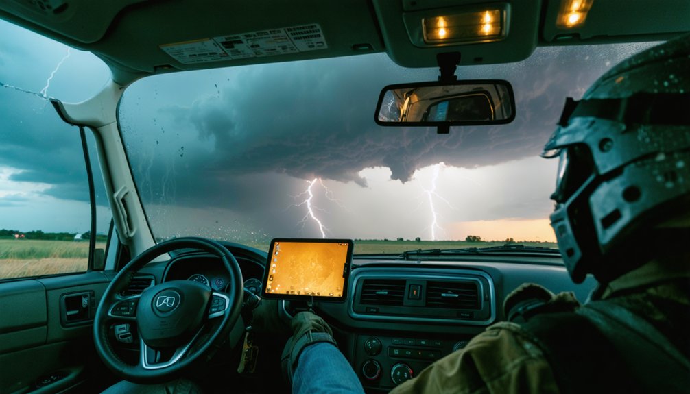
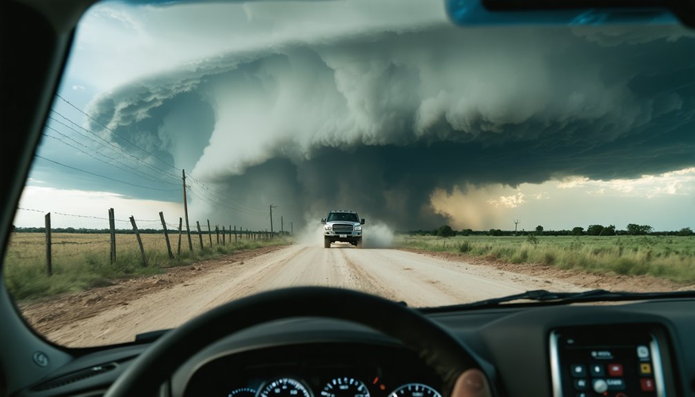
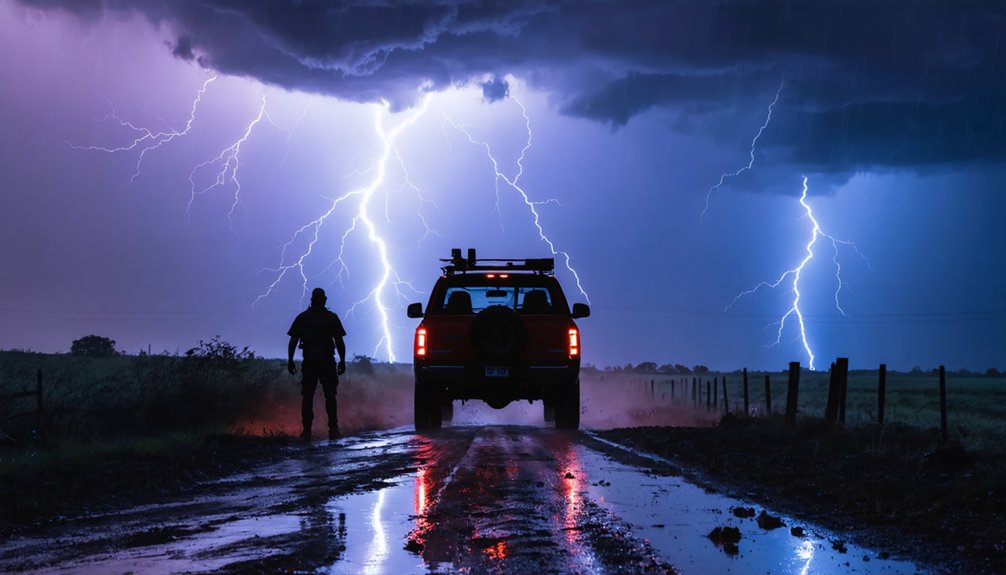
Effective storm chasing risk assessment requires seven core strategies you can’t afford to skip. You’ll need to pre-plan two verified escape routes, read storm mode accurately, and treat every radar update as a binary decision trigger. Never cross flooded roads, monitor outflow boundaries for mid-chase risk resets, and maintain disciplined vehicle operation under degraded conditions. Equipment integrity and communication clarity aren’t optional—they’re your decision-making foundation. Each strategy builds into a framework that keeps you operational and alive.
Key Takeaways
- Identify two verified escape routes before departure, prioritizing west and south options in supercell setups to maintain safe positioning and mobility.
- Treat every radar update as a binary decision trigger: commit to the chase or exit immediately without hesitation.
- Continuously monitor storm mode shifts, as transitions from supercell to squall line instantly change hazard profiles and require repositioning strategies.
- Reassess escape routes immediately after outflow boundary interactions, as original corridors may become compromised without warning.
- Never cross flooded roads, avoid fatigued driving, and treat every transit within a chase corridor as a high-risk operation.
Plan Two Escape Routes Before You Chase
Before you commit to any chase position, identify two clear escape routes and verify both are free of blocked roads, floodwater, and terrain traps. Weather forecasting data should inform your route selection before you ever leave your staging point.
Prioritize west and south options in classic supercell setups, since most storms track east or northeast. Never position yourself where leaving requires turning toward the storm. You’re preserving your freedom to move decisively when conditions deteriorate fast.
Recheck route viability after every radar update, road closure report, or visibility change. Know your nearest emergency shelter and calculate drive time under degraded conditions. Static planning fails in dynamic environments, so treat escape route assessment as a continuous process, not a one-time pre-chase checklist item.
Read Storm Mode to Know Your Real Hazard
When you’re in the field, storm mode determines your actual threat exposure, not just the presence of severe weather.
A discrete supercell produces concentrated, rotational hazards—tornadoes, large hail, and violent updrafts—while a squall line generates broad, fast-moving wind damage with less warning time and fewer visual cues for positioning.
You must continuously track mode shifts, because a supercell evolving into a linear system changes your hazard profile abruptly and can invalidate your escape route assumptions within minutes.
Supercell Versus Squall Lines
How a storm is organized determines what it can do to you—and that distinction starts with storm mode. Supercells rotate. That rotation drives tornado intensity, produces large hail, and creates the structured cloud formation you can visually track and intercept strategically.
Squall lines move fast, generate widespread damaging winds, and offer far less lead time.
Know the difference before you commit:
- Supercells allow positional flexibility—you can read the mesocyclone and adjust.
- Squall lines compress your reaction window, limiting safe escape options rapidly.
- Storm mode shifts mid-chase require immediate route reassessment, not hesitation.
When a supercell transitions to linear mode, your hazard profile changes instantly. Treat that shift as a hard reset on your positioning strategy and escape route calculations.
Identifying Shifting Storm Modes
Watch velocity data and reflectivity trends together. Rotation tightening on radar signals intensification; spreading anvil structure and accelerating forward motion signal mode collapse.
During storm droughts, inexperienced chasers often misread weakening rotation as a safe opportunity to reposition closer. That’s a critical error.
Continuous radar reassessment keeps you ahead of shifts, preserving both your situational awareness and your freedom to exit on your own terms.
Hazard Profiles Differ Sharply
Each storm mode carries a distinct hazard signature, and misreading that signature puts you in the wrong position for the wrong threat. Storm intensity and storm duration vary dramatically between modes, and your positioning strategy must reflect that variance.
- Supercells produce tornadoes, large hail, and violent rotating updrafts requiring southeast or east positioning with clear western escape routes.
- Squall lines generate widespread damaging winds and embedded circulations that compress your reaction window considerably.
- Pulse storms spike in intensity quickly but carry shorter storm duration, demanding faster repositioning decisions.
Reassess mode continuously as radar data updates. A shifting storm rewrites your entire hazard profile. Don’t let an outdated mental model lock you into a position built for the wrong threat.
How Radar Updates Should Change Your Storm Chasing Decisions
Every radar update you receive is a decision trigger, not just a data refresh.
When velocity scans show intensifying rotation or reflectivity cores shift toward your position, you must immediately reassess your escape routes and recheck road viability before conditions deteriorate.
Treat each new radar frame as a potential storm evolution decision point that either confirms your current plan or forces a concrete route adjustment.
Radar-Triggered Route Adjustments
When a new radar scan loads, you’ve got roughly 4–6 minutes before the next update—and your route decision should change if the data warrants it.
Cross-reference velocity data with satellite imagery to confirm storm motion vectors, then run terrain analysis to identify chokepoints before they cut off your exit.
Trigger an immediate route reassessment when you observe:
- A hook echo tightening or shifting direction unexpectedly
- Outflow boundaries pushing toward your current position
- Rotation signatures intensifying within two miles of your planned path
Don’t wait for confirmation from a second scan. If the data suggests your corridor is closing, move now.
Every update is an opportunity to recalibrate—treat static route plans as liabilities, not anchors.
Storm Evolution Decision Points
As a storm evolves, your radar updates aren’t just status checks—they’re decision triggers. Each new scan forces a binary choice: commit deeper or exit immediately.
When storm data shows rapid rotation intensification, expanding hook echoes, or a tightening mesocyclone, that’s your cue to reassess—not observe further.
Define your thresholds before deployment. If velocity couplings exceed your predetermined limits, your safety protocols activate automatically, removing emotion from the equation.
Don’t negotiate with the data.
Watch for mode transitions—supercells cycling, storm mergers, or outflow-dominant structures fundamentally alter your hazard profile. A storm that looked favorable thirty minutes ago may now be producing unpredictable debris trajectories.
Treat every radar update as a potential pivot point. Your freedom to chase depends entirely on disciplined exit decisions.
How Outflow Boundaries Rewrite Your Risk Mid-Chase
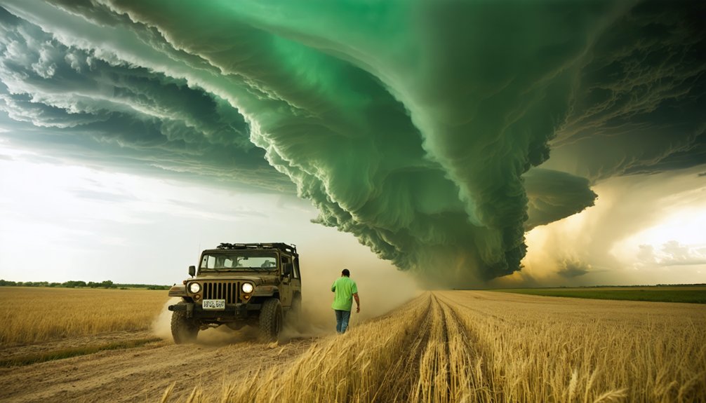
Outflow boundaries can rewrite your entire risk profile in minutes, and failing to track them is one of the most common mid-chase mistakes. When storm gusts surge outward, they shift tornado potential, alter storm motion, and generate new rotation zones far from your original intercept point.
Outflow boundaries don’t warn you twice — they rewrite your risk profile and vanish before most chasers react.
Watch for these critical outflow boundary indicators:
- Sudden wind direction shifts on surface observations or nearby mesonet stations
- Radar reflectivity fine lines marking the boundary’s leading edge
- Rapid storm mode changes, including unexpected cell mergers or new supercell development
Recheck your escape routes immediately after detecting boundary interaction. Your pre-planned corridors may now face cross-traffic from a reorganizing storm.
Treat every boundary passage as a full risk reassessment, not a minor adjustment, and reposition before the atmosphere forces your hand.
Treat Every Storm Chasing Drive as the Highest-Risk Moment
Storm chasing fatalities tell a clear story: vehicle incidents, not tornado strikes, kill more chasers, which means every drive you take inside a chase corridor carries a higher statistical threat than the storm itself.
Hydroplaning on hail-covered pavement, distracted driving during radar updates, and fatigue-driven errors consistently produce casualties that the weather pattern never directly caused. You’re operating a high-speed vehicle under degraded visibility, compromised road surfaces, and split-focus conditions simultaneously.
Equipment maintenance directly affects your survivability here — worn tires lose traction on wet debris fields, failing wipers collapse visibility in forward-moving rain cores, and depleted batteries force dangerous multitasking.
Treat every departure, repositioning move, and retreat as a discrete high-risk operation. Discipline behind the wheel isn’t secondary to storm assessment — it’s the primary risk variable you actually control.
Keep Storm Chaser Communication Sharp When Conditions Shift
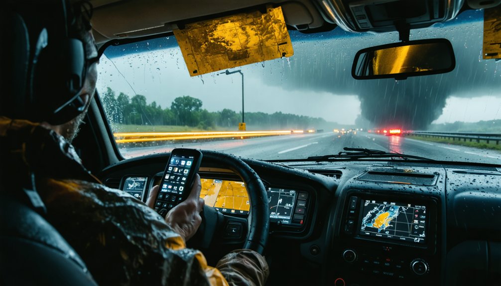
Discipline behind the wheel keeps you alive, but it can’t compensate for communication gaps when a storm’s structure shifts in under three minutes. Satellite imagery updates faster than verbal briefings, so your team needs a protocol that converts raw data into actionable decisions instantly.
- Assign one person exclusively to radar and satellite imagery monitoring while another drives.
- Confirm warning updates through multiple independent sources before crossing warned corridors.
- Carry NOAA Weather Radio and backup radio when cellular networks collapse under storm load.
When conditions shift, fragmented communication triggers hesitation, and hesitation costs position or lives. Treat your radios and safety equipment as mission-critical infrastructure, not optional gear. Clear, pre-established communication roles eliminate confusion precisely when atmospheric conditions demand your fastest, most accurate response.
The Non-Negotiable Rules Storm Chasers Don’t Break
Every rule in storm chasing carries a weight-to-risk ratio, but a small subset carries absolute values—break them once, and the margin for error collapses to zero.
Never cross flooded roads.
Flooded roads are not obstacles to assess. They are operational boundaries that do not negotiate.
Never chase fatigued.
Never ignore radar updates because meteorological myths convince you the storm “looks stable.”
Gut instinct doesn’t override verified data.
Equipment calibration isn’t optional maintenance—it’s a pre-departure non-negotiable.
Uncalibrated GPS, degraded radar feeds, or failing communication systems remove your decision-making foundation entirely.
You’re then operating on assumptions, not intelligence.
You don’t punch cores without a justified operational protocol.
You don’t let a photographer control the vehicle’s speed.
These constraints aren’t restrictions on your freedom—they’re the structural load-bearing walls that keep your operational autonomy intact and survivable.
Frequently Asked Questions
What Emergency Gear Should Storm Chasers Always Keep Within Immediate Reach?
Keep first aid kits, flashlights, high-visibility gear, and water within immediate reach. You’ll also need backup power sources to sustain weather alerts and communication tools that guide you toward the nearest storm shelter fast.
How Do Storm Chasers Manage Fatigue During Multi-Day Chasing Expeditions?
Fatigue is your silent enemy—crush it with strict shift limits and scheduled rest breaks. For storm fatigue management and multi-day stamina, you’ll avoid overnight marathon driving, ensuring you’re sharp, alert, and analytically ready each chase day.
Which Vehicle Checks Are Essential Before Departing for a Storm Chase?
Before departing, you’ll want to verify tires, brakes, fuel, wipers, and lights for vehicle maintenance. Integrate route planning by confirming escape paths, ensuring your setup supports autonomous, data-driven decisions in dynamic storm environments.
How Should Storm Chasers Handle Sudden Lightning Threats in Open Areas?
“Better safe than sorry”—your lightning safety depends on it. When open area protocols demand action, you’ll seek immediate vehicle shelter, avoid tall objects, monitor strike frequency, and call 911 if injuries occur.
What Backup Communication Tools Work When Cellular Networks Fail Mid-Chase?
When cellular networks fail, you’ll rely on NOAA emergency radios for real-time warning alerts and satellite communication devices for GPS position sharing. These tools maintain your situational awareness and team coordination when conventional infrastructure collapses mid-chase.
References
- https://crazystormchasers.com/striking-a-balance-storm-chasing-thrills-and-safety/
- https://crazystormchasers.com/the-risks-of-storm-chasing/
- https://en.wikipedia.org/wiki/Storm_chasing
- https://crazystormchasers.com/key-components-storm-chasing-risk-assessment/
- https://stormtrack.org/threads/how-does-storm-chasing-compare-to-other-high-risk-activities.30926/
- https://crazystormchasers.com/risk-assessment-training-for-novice-storm-chasers/
- https://weather.cod.edu/chasing/assets/documents/safety.pdf
- https://crazystormchasers.com/what-safety-precautions-should-storm-chasers-follow/
- https://will.illinois.edu/weatherrealness/episode/storm-chasing-can-be-deadly-heres-how-to-stay-safe
- https://www.atms.unca.edu/cgodfrey/courses/swfex/pdf/ChasingSafety.pdf