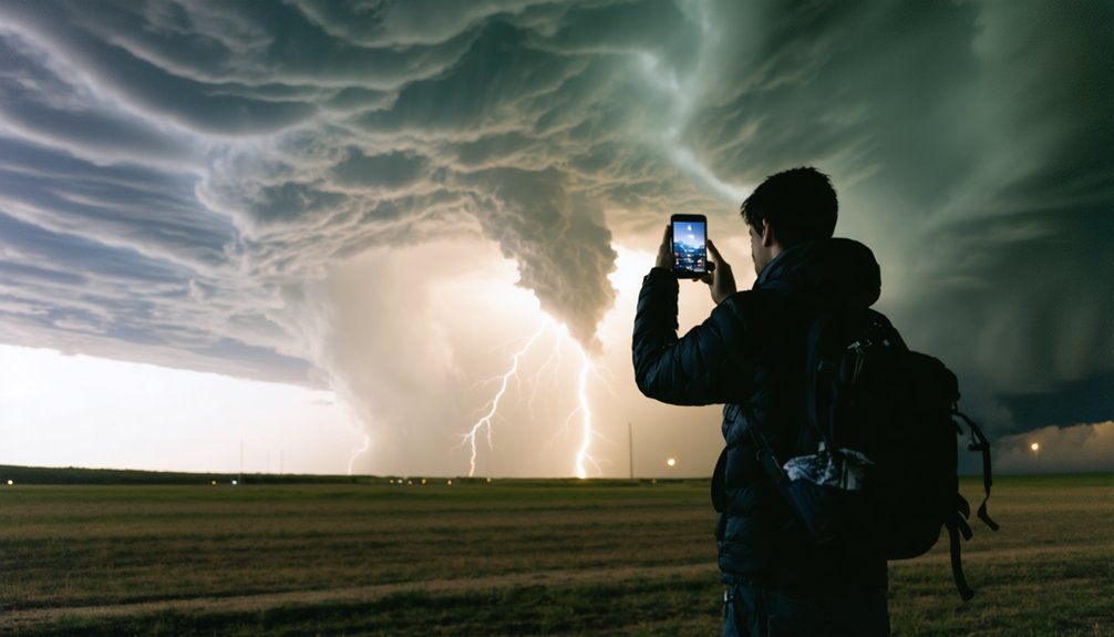
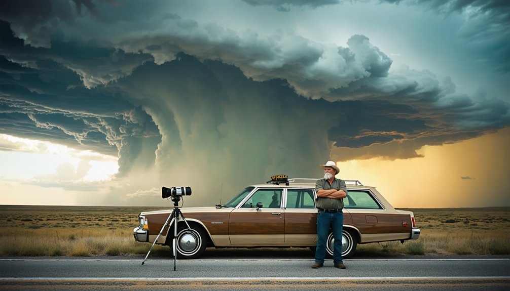
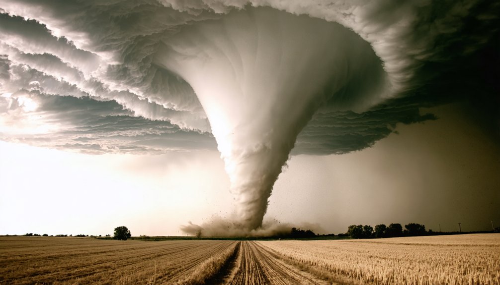
VORTEX2 is the largest tornado research project ever conducted, mobilizing over 100 scientists, 10 mobile radars, and 40 instrumented vehicles across a 900-mile Great Plains corridor with $12 million in funding. Running during May–June 2009 and 2010, it intercepted approximately 20 tornadoes and collected over 50 terabytes of wind, thermodynamic, and microphysical data. Its findings are directly reshaping how forecasters predict tornado formation—and there’s far more to unpack about what the data revealed.
Key Takeaways
- VORTEX2 is the largest tornado research project in history, funded at $12 million by NOAA and the National Science Foundation.
- The experiment deployed 10 mobile radars, 40 scientific vehicles, and 70 instruments across a 900-mile Great Plains corridor.
- Over 100 scientists and staff intercepted approximately 20 tornadoes during field operations in May–June 2009 and 2010.
- VORTEX2 collected over 50 terabytes of wind, thermodynamic, and microphysical data to study why some storms produce tornadoes.
- Findings are advancing the warn-on-forecast system, aiming to extend tornado warning lead times beyond the current 13-minute average.
What Was VORTEX2 and Why Did It Matter?
VORTEX2—short for Verification of the Origins of Rotation in Tornadoes Experiment 2—was the largest tornado research project in history, mobilizing over 100 scientists, students, and staff from around the world across the southern and central Plains. Backed by roughly $12 million from NOAA and the National Science Foundation, it ran field operations from May–June in both 2009 and 2010.
The project’s core mission was straightforward: determine why some thunderstorms produce tornadoes while others don’t. That question carries real weight. Better answers mean longer warning lead times, sharper forecasts, and greater public awareness of incoming threats—giving you more time to act.
As climate impact continues reshaping severe weather patterns, understanding tornadogenesis isn’t just scientific curiosity. It’s critical infrastructure for personal freedom and community resilience.
The Tornado Formation Mystery VORTEX2 Was Built to Crack
At the heart of VORTEX2’s mission sat a deceptively simple question: why do some supercell thunderstorms produce tornadoes while others—with nearly identical radar signatures—never spin up a single funnel? That gap in understanding had real consequences for your safety and warning lead times.
Some supercells spawn violent tornadoes. Others, nearly identical on radar, produce nothing. Understanding why saves lives.
Scientists zeroed in on tornadogenesis—the precise minutes before and after tornado formation. They analyzed weather patterns at multiple scales simultaneously, from the broader storm environment down to surface-level thermodynamic boundaries.
Through advanced data visualization, researchers mapped wind fields, temperature gradients, and humidity distributions in real time across storm, mesocyclone, and tornado scales.
The core challenge wasn’t just intercepting tornadoes—it was capturing the distinguishing variables that separated tornadic storms from non-tornadic ones. VORTEX2 built its entire operational framework around answering that distinction with measurable, reproducible data.
Inside the $12 Million Fleet of Radars and Storm-Chasing Vehicles
When you examine the VORTEX2 fleet, you’re looking at a $12 million arsenal of 10 mobile radars, 40 scientific vehicles, and 70 additional instruments—all networked with cutting-edge communication technologies.
You’d find roof-mounted sensors continuously sampling temperature and humidity beneath active storms, while unmanned aerial vehicles and instrumented ground vehicles simultaneously closed in on tornadic targets from multiple angles.
This multi-platform architecture let you capture simultaneous radar data across storm, mesocyclone, and tornado scales, producing a dataset that ultimately exceeded 50 terabytes over the two-year project.
Mobile Radar Fleet Details
Backed by $12 million in funding from NOAA and the National Science Foundation, VORTEX2’s fleet comprised 10 mobile radars and 70 additional instruments spread across 40 scientific vehicles.
Radar deployment allowed scientists to capture simultaneous data at storm, mesocyclone, and tornado scales—something fixed installations simply can’t achieve. Vehicle mobility kept the armada responsive, covering over 10,000 miles across the southern and central Plains during 2009 operations alone.
Each vehicle carried roof-mounted instruments sampling temperature and humidity directly beneath active storms. Tornado-resistant platforms supported video cameras photographing activity inside the funnel itself.
This coordinated, mobile architecture let researchers surround tornadic systems from multiple angles simultaneously, generating over 50 terabytes of wind field, thermodynamic, and microphysical data across both field phases in 2009 and 2010.
Storm-Chasing Vehicle Capabilities
Each of VORTEX2’s 40 scientific vehicles functioned as a self-contained atmospheric measurement platform, carrying roof-mounted instruments that continuously sampled temperature and humidity directly beneath active storm cells. These storm chasing assets operated in coordinated arrays, surrounding tornadic supercells to capture simultaneous multi-scale data you couldn’t obtain from fixed installations.
Vehicle capabilities extended beyond passive sensing. Instrumented units ran parallel to developing mesocyclones while onboard systems logged wind fields, thermodynamic gradients, and microphysical variables in real time. Tornado-resistant camera platforms mounted to select vehicles photographed activity inside the funnel itself.
Each vehicle fed data into VORTEX2’s broader 70-instrument network, enabling researchers to correlate surface-level measurements with airborne and radar datasets. That integration gave scientists unprecedented spatial resolution across storm, mesocyclone, and tornado scales simultaneously.
Cutting-Edge Instrument Technology
The vehicles themselves were only as capable as the instruments packed into them. VORTEX2’s fleet carried 10 mobile radars alongside 70 additional instruments, creating a sensor integration network that simultaneously captured wind fields, temperature, and relative humidity at multiple atmospheric scales.
This sensor network included roof-mounted instruments sampling thermodynamic data directly beneath storm systems, while video cameras mounted on tornado-resistant platforms documented activity inside the funnel itself.
That level of sensor integration generated over 50 terabytes of raw data across two field seasons. Data analytics then transformed those terabytes into actionable intelligence — correlating mesocyclone behavior, surface thermodynamics, and radar signatures across storm, tornado, and environmental scales simultaneously.
This wasn’t passive observation. It was a precisely coordinated, multi-platform data collection architecture designed to decode tornadogenesis with unprecedented resolution.
How 100+ Scientists Coordinated Across 900 Miles of the Great Plains
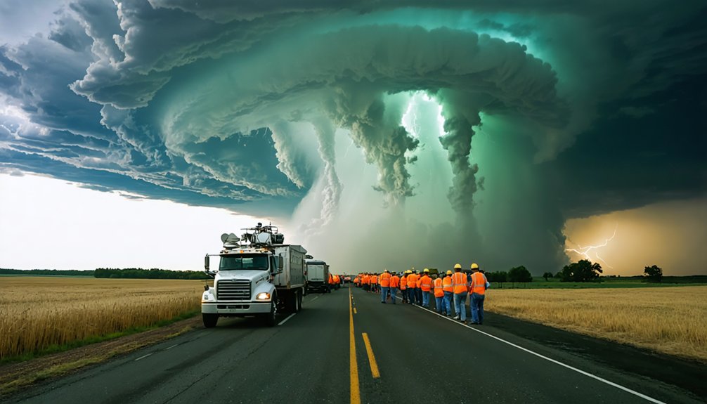
Coordinating more than 100 scientists, students, and staff across a 900-mile north-to-south corridor of the Great Plains required a level of logistical precision that matched VORTEX2’s scientific ambitions.
You’d anchor operations at the VORTEX2 Operations Center in Norman, Oklahoma, then deploy 40 vehicles, 10 mobile radars, and 70 additional instruments across Southern South Dakota, Nebraska, Kansas, Colorado, Texas, and Oklahoma.
Collaborative logistics demanded 50 hotel rooms nightly and a parking lot large enough to stage the entire fleet.
Data coordination ran simultaneously across storm, mesocyclone, and tornado scales, pulling wind fields, temperature readings, and humidity data in real time.
Every intercept of those roughly 20 tornadoes depended on precise communication between ground teams, aircraft, and radar operators spread across hundreds of miles.
The 20 Tornadoes VORTEX2 Intercepted and 50 Terabytes of Data Collected
All that coordination across 900 miles existed to serve one purpose: putting instruments directly on tornadoes. Over two field seasons, VORTEX2 intercepted approximately 20 tornadoes, capturing simultaneous radar data across storm, mesocyclone, and tornado scales. That multi-scale approach let researchers analyze tornado patterns and storm dynamics together rather than in isolation.
The result was more than 50 terabytes of data — wind fields, temperatures, relative humidity at the surface and aloft, plus in situ thermodynamic and microphysical measurements from mobile mesonets and deployable station arrays. You’re looking at a dataset that no previous experiment came close to matching.
That volume gives scientists the raw material to finally answer why some thunderstorms produce tornadoes while structurally similar storms don’t — a question with direct consequences for warning accuracy and your personal response time.
What VORTEX2 Researchers Discovered About Why Tornadoes Form
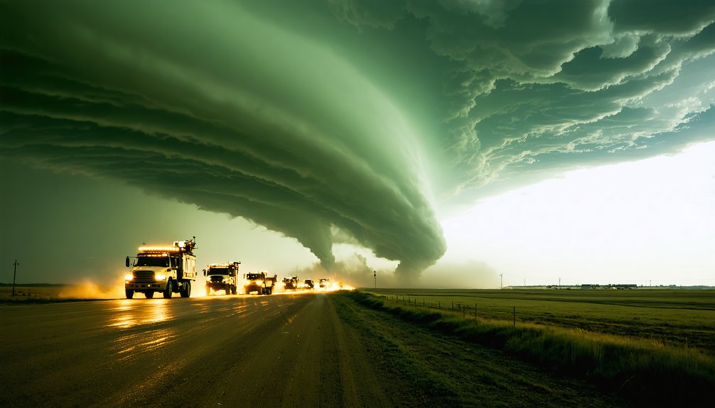
Fifty terabytes of data pointed researchers toward a deceptively precise answer: tornado formation hinges on thermodynamic and kinematic processes operating simultaneously across multiple scales, from the storm’s rear-flank downdraft to the boundary layer just meters above the surface.
You’ll find that tornado dynamics don’t operate in isolation. VORTEX2 revealed that environmental triggers — including low-level wind shear, moisture gradients, and boundary interactions — must align within precise thresholds to initiate rotation. Not every supercell converts that energy into a tornado.
Researchers identified that subtle thermodynamic deficits in the rear-flank downdraft often determine whether rotation intensifies or collapses. Surface temperature and humidity measurements, collected simultaneously across multiple platforms, confirmed that tornadogenesis demands a narrow, unforgiving set of atmospheric conditions converging at exactly the right moment.
How VORTEX2 Data Is Changing the Way We Warn for Tornadoes
The 50-plus terabytes of data VORTEX2 collected are directly fueling the warn-on-forecast system, a model-based approach that shifts warnings from observed to predicted tornado events.
You can expect this advancement to push tornado warning lead times beyond the current average, giving residents more time to reach safety before touchdown.
Future NWS warnings won’t just tell you a tornado is possible—they’ll specify projected touchdown location, expected duration, and estimated intensity.
Warn-On-Forecast System Advances
Beyond improving how scientists understand tornadoes, VORTEX2’s 50-terabyte dataset is directly reshaping how forecasters warn the public about them. The project’s data analysis feeds directly into NOAA’s Warn-on-Forecast system, a paradigm shift in meteorological innovations that moves warnings from event-driven detection to probabilistic prediction.
Currently, warnings trigger only after rotation is confirmed. Warn-on-Forecast changes that. By integrating VORTEX2’s simultaneous multi-scale radar datasets, surface thermodynamics, and mesocyclone measurements, forecasters can assess tornado likelihood *before* touchdown occurs.
You’d receive warnings with greater lead time, specific touchdown location estimates, projected duration, and intensity forecasts — details today’s system can’t reliably deliver.
This isn’t incremental improvement. It’s a structural overhaul of how severe weather communication works, giving you actionable intelligence rather than reactive alerts.
Improved Tornado Warning Lead Times
What VORTEX2 has fundamentally altered isn’t just tornado science — it’s the clock. Before this project, average tornado warning lead times hovered around 13 minutes. That’s not enough time for you to make critical decisions.
By mapping tornado mechanics and storm dynamics at unprecedented resolution — across storm, mesocyclone, and tornado scales simultaneously — VORTEX2 data is pushing that window wider.
The project’s 50 terabytes of collected data give forecasters sharper insight into exactly when rotation shifts from potential threat to confirmed danger. You gain more time. More options. More control over your own safety.
Future National Weather Service warnings won’t just tell you a tornado exists — they’ll specify projected touchdown location, expected duration, and intensity. That’s precision that directly translates into lives protected and decisions made on your terms.
Future NWS Warning Details
Tornado warnings are evolving from blunt alerts into precision instruments, and VORTEX2‘s data architecture is driving that shift. Instead of generic county-wide alerts, future National Weather Service warnings may specify touchdown location, expected duration, and intensity—actionable intelligence you can actually use to make real-time decisions.
VORTEX2’s storm prediction models, refined through 50 terabytes of collected data, now let forecasters assess tornado likelihood within individual thunderstorms with measurable confidence. Tornado climatology research from the project strengthens the statistical backbone behind these forecasts, connecting environmental signatures to verified outcomes.
You’re not just getting more warning time—you’re getting better information. That distinction matters when seconds determine whether you reach safety.
VORTEX2 didn’t just chase tornadoes; it redefined what a warning can actually tell you.
How VORTEX2 Is Driving the Next Generation of Tornado Warnings
The data VORTEX2 collected is directly reshaping how the National Weather Service issues tornado warnings. By analyzing atmospheric dynamics and tornado climatology across hundreds of intercepted storm cycles, researchers are engineering a warn-on-forecast system that gives you actionable intelligence before a tornado touches down.
VORTEX2 isn’t just collecting data—it’s reengineering how warnings reach you before a tornado ever touches down.
You’ll see warnings evolve to include:
- Predicted touchdown location, so you know exactly where to move—not just that danger exists somewhere nearby
- Estimated duration, giving you a precise evacuation window rather than open-ended uncertainty
- Intensity forecasts, letting you assess real risk rather than defaulting to worst-case assumptions
This shifts warning systems from reactive to predictive. You’re no longer responding to a tornado that’s already forming—you’re receiving data-driven alerts minutes earlier, when your decisions still matter most.
Frequently Asked Questions
How Many Hotel Rooms Did the VORTEX2 Team Require Nightly?
You’d need 50 hotel rooms nightly to support VORTEX2’s storm chasing operations. With 100+ scientists actively pursuing data collection across the Plains, you’re coordinating a massive, precision-driven logistical network demanding that level of accommodation infrastructure.
Which Specific States Were Included in Vortex2’s Operational Focus Area?
Your storm chasing meteorological research zone covered Southern South Dakota, western Iowa, Nebraska, eastern Colorado, Kansas, the Texas Panhandle, and western Oklahoma — giving you 900 miles of north-to-south Great Plains terrain to analyze tornadic activity.
How Many Total Miles Did the Armada Travel During 2009 Operations?
Like a relentless hunter, you’d have covered 10,000 miles during 2009’s storm chasing operations. That’s the distance VORTEX2’s armada roamed across the Plains, maximizing data collection while pursuing tornadoes with unmatched analytical precision and freedom.
When Exactly Did the Two VORTEX2 Field Phases Begin and End?
You’ll find that VORTEX2’s two field phases ran May 10–June 13, 2009, and May 1–June 15, 2010, giving you precisely defined windows for storm formation analysis and intensive data collection across the Great Plains.
Where Was the VORTEX2 Fixed Base of Operations Located?
You’d find VORTEX2’s fixed base at the National Weather Center in Norman, Oklahoma, where teams coordinated storm tracking missions and centralized data collection efforts, giving researchers the analytical freedom to process critical tornado formation intelligence efficiently.
References
- https://www.nssl.noaa.gov/projects/vortex2/
- https://en.wikipedia.org/wiki/VORTEX_projects
- https://www.youtube.com/watch?v=Z8G-swUYUDI
- https://www.csmonitor.com/Science/2010/0721/Storm-chasers-complete-largest-ever-tornado-study
- https://www.npr.org/transcripts/104350703
- https://www.popsci.com/science/article/2010-09/twisted/
- https://journals.ametsoc.org/view/journals/bams/93/8/bams-d-11-00010.1.pdf
- https://www.nssl.noaa.gov/projects/vortex2/media/facts.php