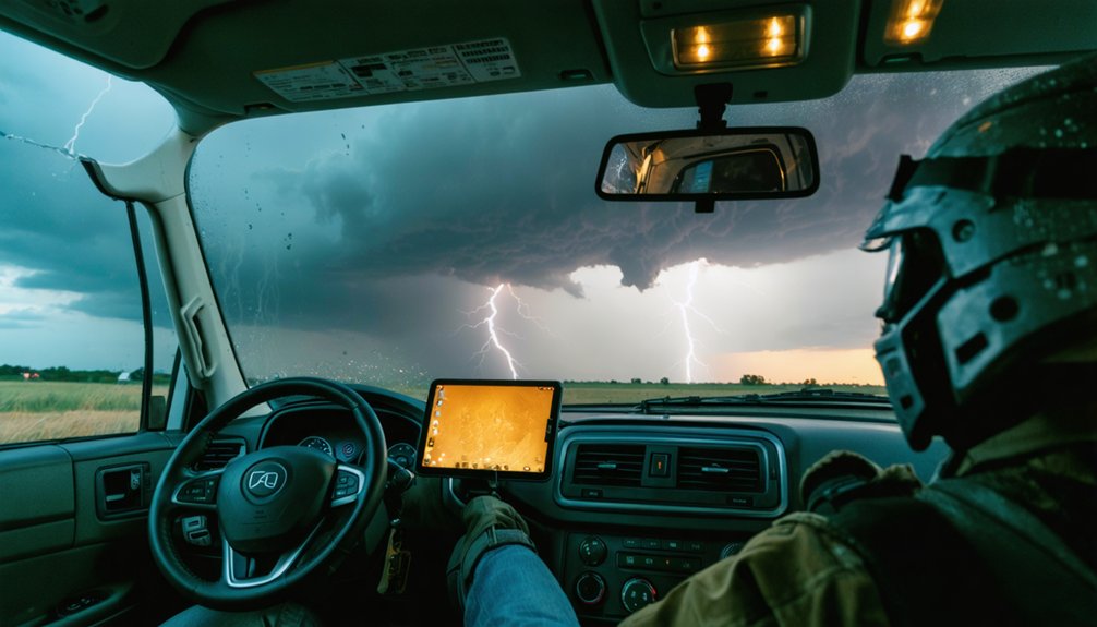
Real-time weather data is your lifeline in the field. You’re integrating live Doppler radar, satellite imagery, wind shear data, and mobile mesonet feeds to build accurate situational awareness as storms evolve by the minute. Without current data, you can’t identify hook echoes, velocity couplets, or rotation intensification—features that signal imminent tornado formation. Stale or missing data distorts your risk assessment and can put you directly in a lethal position. The deeper mechanics reveal exactly how each data source shapes every critical decision you make.
Key Takeaways
- Real-time radar detects hook echoes, velocity couplets, and rotation depth, helping chasers identify dangerous storm features before they become lethal.
- Continuous data streams allow chasers to track storm movement, direction, and acceleration, enabling safer and more precise intercept positioning.
- Live updates let chasers immediately reposition when rotation intensifies, preventing entrapment in rapidly escalating storm environments.
- Stale or missing data impairs the ability to distinguish strengthening from weakening storms, significantly increasing operational risk.
- Integrating multiple live data sources—radar, satellite, and surface observations—builds layered situational awareness critical for accurate, split-second decisions.
The Specific Data Storm Chasers Rely On in the Field
Storm chasers depend on several distinct data streams to make informed decisions in the field. You’re working with live Doppler radar to identify rotation, wall clouds, and hook echoes as they develop.
Satellite imagery gives you a broader view of storm organization, convective trends, and mesoscale boundaries that ground-level sensors can’t capture alone.
You’re also monitoring atmospheric pressure readings continuously, since rapid pressure drops signal intensifying updrafts and tornadic potential.
Wind shear data, surface observations, and mobile mesonet feeds round out your situational picture.
Each stream serves a specific function—no single source tells the full story. When you integrate all of them simultaneously, you build the layered awareness needed to position accurately, respond quickly, and stay clear of the most dangerous zones.
How Real-Time Radar Keeps Chasers Out of Lethal Positions
When you’re operating near a supercell, live radar lets you identify hook echoes, bounded weak echo regions, and velocity couplets that mark the highest-risk zones before you enter them.
If rotation signatures intensify or the storm’s forward motion shifts, you reposition immediately rather than waiting for visual confirmation.
Without continuous radar updates, you’re making positioning decisions on outdated information, and that gap between reality and your data is where fatal errors occur.
Radar Spots Dangerous Zones
Doppler radar gives you one of the most reliable tools for staying out of lethal storm positions. It identifies velocity couplets, hook echoes, and debris signatures that mark the highest-risk zones within a supercell.
When you’re reading live radar returns, you’re not guessing—you’re interpreting hard atmospheric data that defines exactly where rotation intensifies and where the tornado core is tracking.
Historical patterns in storm behavior reinforce how radar signatures correlate with escalating danger. Climate impacts have also shifted storm tracks and intensification rates, making static assumptions unreliable.
Real-time radar compensates by delivering continuous updates as conditions evolve. You can distinguish a tightening mesocyclone from a weakening one, and that distinction directly controls whether you advance, hold position, or retreat immediately to safer ground.
Rotation Signals Demand Repositioning
Rotation signals don’t wait for you to catch up—they demand an immediate positional response. When real-time radar detects increasing rotational velocity within a mesocyclone, you’ve got seconds, not minutes, to reposition.
Data visualization tools overlay live velocity scans against historical patterns, letting you compare current storm behavior against documented tornado precursors instantly.
If shear values tighten and rotation depth increases, that’s your signal to move—not analyze further. Staying locked in a static position while a mesocyclone intensifies eliminates your escape options and puts you directly in a lethal corridor.
Real-time Doppler feeds continuously update rotational signatures, so you’re never operating on stale intelligence. Your positioning must stay fluid, adjusting as each radar sweep delivers fresh velocity data confirming or contradicting your current location’s safety margin.
Live Data Prevents Fatal Errors
Acting on rotation signals keeps you alive only if the underlying data feeding those decisions is accurate and current. Stale or missing information removes your ability to distinguish a strengthening mesocyclone from a dissipating one, and that gap kills.
Real-time radar combined with weather satellites gives you continuous structural verification across multiple atmospheric layers. You’re not guessing storm position — you’re confirming it against live feeds updated every few minutes.
Data analysis lets you cross-reference radar signatures with satellite-derived wind fields, catching dangerous acceleration before it registers on ground instruments.
When your data pipeline breaks down, positioning errors compound fast. You can’t retreat from a tornado core you didn’t know was wrapping around your flank. Accurate, current data isn’t a convenience — it’s the operational boundary between a calculated intercept and a fatal mistake.
How Real-Time Data Drives Every Storm Positioning Decision
When you’re operating near a severe storm, every positioning decision hinges on the quality and immediacy of your data feed. Doppler radar signatures, atmospheric pressure readings, and wind shear measurements tell you whether to advance, hold, or retreat before conditions deteriorate beyond safe thresholds.
Historical patterns inform your baseline expectations, but real-time data overrides assumptions when storm behavior deviates from climatological norms. Climate impacts have introduced greater variability in storm tracks and intensification rates, making live feeds non-negotiable rather than supplementary.
You’re processing wall cloud development, rear-flank downdraft position, and rotation velocity simultaneously. Any lag in that data pipeline introduces positioning error. Accurate live feeds keep you in the most advantageous observational window while maintaining the operational margin you need to exit safely when dynamics shift rapidly.
Real-Time Data and Storm Tracking Accuracy in the Field
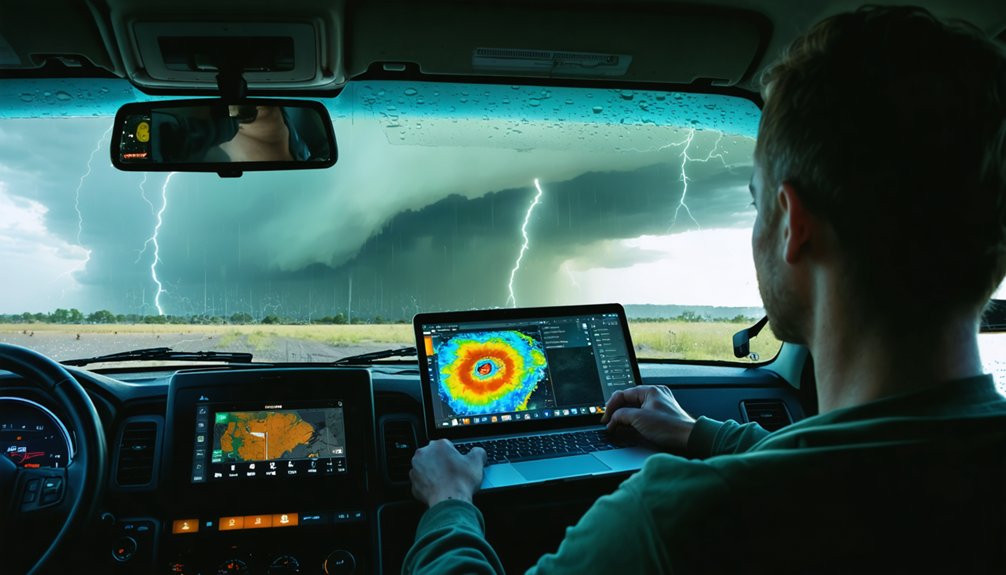
When you’re tracking a storm in the field, live radar signatures give you immediate verification of rotation, wall cloud development, and structural changes that shift faster than any pre-mission briefing can anticipate.
You use these real-time signatures to confirm what you’re observing visually and to detect discrepancies between radar presentation and actual storm behavior.
As the storm changes direction or accelerates, continuous data updates let you adjust your intercept path without losing positional accuracy or falling into a dangerous gap between your location and the storm’s new track.
Live Radar Signature Verification
Live radar signature verification sits at the core of accurate storm tracking, letting you cross-reference what you’re observing in the field against real-time radar returns. When rotation tightens, you’re not guessing — you’re validating hook echoes, velocity couplets, and bounded weak echo regions against what’s directly in front of you.
Historical patterns and climate models give you a baseline for expected storm behavior, but live radar cuts through that generality with precise, current data. You can confirm wall cloud development, identify rear-flank downdraft signatures, and verify condensation funnel progression without depending on delayed reports.
This verification process sharpens your positioning decisions. When radar returns align with ground-level observations, your situational awareness strengthens, your risk exposure narrows, and your ability to track rapidly evolving storms improves with measurable accuracy.
Tracking Storm Movement Changes
Verifying radar signatures locks in your position relative to the storm’s current structure, but storms don’t hold still — and neither can your strategy. Real-time data streams let you track directional shifts, acceleration, and speed changes as they happen — not after the fact.
Historical patterns establish baseline movement tendencies for specific storm types, but climate variability means you can’t rely on those baselines alone. Supercells deviate. Boundaries redirect them. Without continuous live updates, you’re orchestrating on assumptions that a dynamic atmosphere will quickly invalidate.
Ground-level reports combined with live radar give you a composite picture of storm evolution that static forecasts can’t match. Tracking movement changes in real time keeps your positioning decisions grounded in current atmospheric reality, not yesterday’s model output.
How Real-Time Reports Help Chasers Support Tornado Warnings
Storm chasers act as mobile ground-truth nodes, feeding real-time observations directly into the warning decision process. When you report confirmed rotation, wall clouds, or condensation funnels, Weather Service offices can issue warnings with stronger verification than radar alone provides.
Storm chasers aren’t just observers—they’re mobile ground-truth nodes feeding verified, real-time data directly into the warning decision process.
Historical trends show that ground-truth confirmation consistently reduces false alarm rates and sharpens warning specificity. Climate patterns also indicate increasing storm complexity, making independent field verification more operationally critical over time.
Your live pressure, wind shear, and visual data bypass radar confirmation delays, compressing the gap between storm development and public notification. That faster pipeline directly reduces exposure for people in the storm’s path.
You’re not just observing—you’re functioning as an active component in a distributed warning system that saves lives when every second matters.
How Ground-Truth Observations Help Emergency Managers Respond
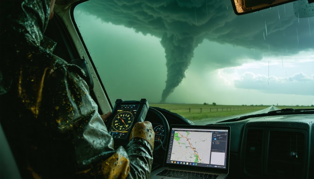
When you transmit confirmed storm position and hazard data in real time, emergency managers can deploy personnel, equipment, and shelters with greater precision than radar-based estimates alone allow. Your ground-truth observations cut through uncertainty and accelerate coordinated response.
Three ways your field reports strengthen emergency operations:
- They identify the most threatened zones faster, reducing exposure of lives and property.
- They confirm hazard location when radar coverage is incomplete or delayed by terrain and climate influences.
- They add location-specific detail that historical patterns and fixed station networks can’t consistently provide.
When you report accurately, managers redirect resources before conditions worsen. You’re not just chasing—you’re feeding actionable intelligence into a response chain that protects people who’ve no other early warning advantage.
How Chaser Measurements Feed Real Storm Science
Every instrument you carry into the field produces measurements that fixed observational networks can’t replicate. When you deploy meteorological instrumentation directly within a supercell’s inflow region or near a tornado’s rear-flank downdraft, you’re capturing pressure gradients, wind shear profiles, and humidity variations at resolutions no stationary sensor array can match.
Those measurements don’t simply document what you witnessed. They feed directly into storm dynamics research, validating numerical models and strengthening severe weather databases that forecasters rely on for years afterward. Your mobile observations fill spatial gaps where fixed stations are absent, providing location-specific atmospheric data during the storm’s most critical developmental phases.
Real-time field measurements also accelerate scientific understanding of tornado genesis, helping researchers identify the precise conditions that separate tornadic from non-tornadic supercells with greater statistical confidence.
What Happens When Real-Time Weather Data Is Wrong or Missing?
Accurate field measurements only deliver their full value when the broader data environment supporting your decisions is equally reliable. When real-time weather data is wrong or missing, your operational risk increases sharply.
Accurate field measurements only matter when the data environment around them is equally reliable.
Three critical failure points emerge:
- Positioning errors — incomplete radar feeds mask tornado cores, placing you inside lethal hazard zones without warning.
- False confidence — corrupted atmospheric readings misrepresent wind shear and pressure gradients, distorting your risk assessment.
- Warning degradation — unverified reports disconnect ground-truth confirmation from Weather Service offices, weakening alert specificity.
Historical patterns show that data gaps correlate directly with dangerous decision-making under climate variability conditions, where storms deviate unpredictably from modeled behavior.
You can’t navigate fast-evolving severe weather using delayed, incomplete, or inaccurate information without accepting consequences that compromise both your safety and scientific output.
Frequently Asked Questions
How Do Storm Chasers Fund Their Real-Time Data Tools and Equipment?
You fund your real-time data tools through storm chase funding sources like personal investment, crowdfunding, and equipment sponsorship from weather tech firms, universities, or media outlets that value your ground-truth data and storm documentation.
Can Beginner Storm Chasers Access the Same Real-Time Data as Professionals?
You can access most professional real-time data sources, but access barriers like subscription costs and hardware expenses affect data accuracy and reliability. Free tools exist, yet they’ll lack the precision professionals rely on for critical decisions.
How Long Does It Take to Become a Skilled Real-Time Data Interpreter?
You’ll typically need two to three years of active field experience to sharpen your interpretation skills. Consistent practice with live radar and atmospheric feeds builds the data accuracy judgment you’ll need for reliable, split-second storm analysis.
Do Storm Chasers Share Real-Time Data With Each Other During Active Chases?
A storm’s closing in—you’re not alone. Through collaboration networks, you’re constantly sharing data with fellow chasers, exchanging live positions, radar signatures, and storm movement. This real-time data sharing sharpens your collective situational awareness, keeping everyone safer and better coordinated.
Are There Legal Requirements for Storm Chasers to Report Real-Time Observations?
You don’t face formal legal compliance mandates or strict reporting obligations as a storm chaser. However, you’re encouraged to share real-time observations voluntarily with the National Weather Service to strengthen warnings and protect public safety.
References
- https://www.reddit.com/r/stormchasing/comments/lvub71/how_important_are_storm_chasers_in_giving_data_or/
- https://www.reddit.com/r/NoStupidQuestions/comments/1sbk5v1/do_stormchasers_do_anything_important/
- https://crazystormchasers.com/importance-of-real-time-weather-data-for-risk-assessment/
- https://crazystormchasers.com/why-is-interpreting-meteorological-data-crucial-for-storm-chasers/
- https://crazystormchasers.com/why-are-storm-chaser-storm-predictions-analyzed/
- https://en.wikipedia.org/wiki/Storm_chasing
- https://medium.com/@valforov/any-weather-is-good-enough-how-storm-chasing-became-different-92a3c112dc82