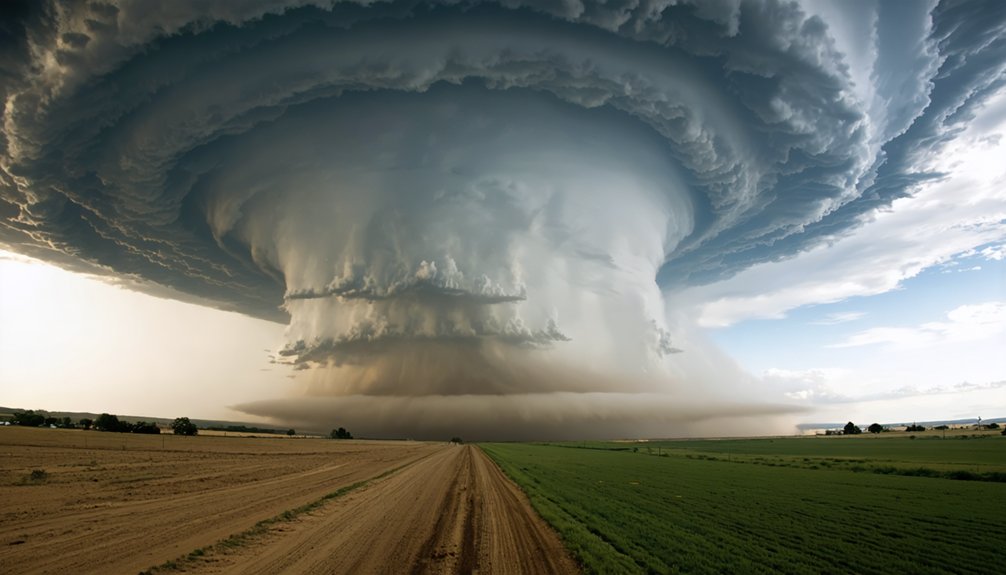
To improve storm chasing success in a changing climate, you’ll need to adapt your forecasting, preparation, and safety strategies. Tornado Alley is shifting eastward, Gulf moisture is intensifying storms, and every 1°C of warming increases severe convective conditions by 5–20%. Cross-reference HRRR, NAM3K, and SPC outlooks with real-time data, pre-map escape routes, verify cell coverage, and deploy AI-driven hazard tools. The full picture of what’s changing—and how to stay ahead of it—runs deeper than most chasers realize.
Key Takeaways
- Traditional Tornado Alley is shifting eastward, requiring chasers to study unfamiliar terrain, road networks, and updated navigation strategies for new operational areas.
- Every 1°C of warming increases severe convective storm conditions by 5–20%, demanding continuous monitoring of moisture trends to maintain forecasting accuracy.
- Cross-referencing HRRR, NAM3K, and radiosonde data with real-time SPC outlooks improves target selection in increasingly unpredictable atmospheric patterns.
- Pre-mapping escape routes, identifying chokepoints, and flagging flood-prone crossings before entering target areas significantly reduces risk during rapid storm intensification.
- Deploying AI-driven hazard prediction, high-resolution radar, and drones extends observational range while reducing chaser exposure in expanding severe-weather environments.
How Climate Change Is Reshaping Storm Chasing
As the climate shifts, storm chasing is getting harder. Traditional Tornado Alley is migrating eastward into the lower Mississippi Valley and Southeast, forcing you to navigate unfamiliar urban infrastructure and road networks you haven’t studied.
Warmer Gulf waters are loading the atmosphere with higher moisture, intensifying atmospheric dynamics and increasing storm potential across broader regions.
You’re also facing tighter decision windows. For every 1°C of warming, severe convective storm conditions increase by 5% to 20%, compressing your time for target selection and repositioning.
Extreme-weather patterns are becoming more variable, making forecasting less predictable and your margin for error smaller.
Adapting means expanding your geographic knowledge, upgrading your forecasting tools, and treating every new region as unfamiliar terrain requiring deliberate pre-chase study.
Where Severe Weather Is Shifting and Why It Matters
If you’re chasing in the Southern Plains, you need to recognize that traditional Tornado Alley is migrating eastward into the lower Mississippi Valley and Southeast. This shift forces you to study unfamiliar terrain and road networks.
Warmer Gulf waters are driving higher atmospheric moisture, which directly fuels stronger storm potential and increases the volatility of convective events across these emerging target regions.
You’ll need to expand your pre-chase preparation to include local topography, road grid density, and connectivity gaps in areas that weren’t previously on your operational radar.
Tornado Alley Moving East
Where you point your vehicle on chase day is shifting. Traditional Tornado Alley across the southern Plains is migrating eastward into the lower Mississippi Valley and the Southeast.
You’re now targeting terrain that’s less familiar, more densely populated, and complicated by urban development that disrupts surface boundaries and alters local wind shear profiles.
This eastward shift isn’t arbitrary. Warmer Gulf moisture penetrates further inland, and atmospheric dynamics increasingly favor severe convection across Tennessee, Alabama, and Mississippi.
Road networks in these regions offer fewer escape options than open Plains highways.
You’ll need to study local topography, update your road atlas, and recalibrate your positioning instincts before entering unfamiliar target areas.
Where storms are firing is changing, and your preparation must change with it.
Moisture Fueling Stronger Storms
Warmer Gulf and ocean waters are loading the atmosphere with more moisture, and that change is directly affecting what you encounter on chase day. Moisture dynamics have shifted — higher dewpoints are increasing instability parameters and expanding the severe-weather window beyond traditional Plains setups.
Atmospheric amplification ties directly to sea-surface temperature increases, with research linking every 1°C of warming to a 5–20% increase in severe convective storm conditions. You’ll need to monitor precipitable water values, low-level jet strength, and lifted index readings more carefully than previous generations of chasers.
These variables now fluctuate with greater intensity and less predictability. Ignoring moisture trends before departure means you’re operating without a critical forecasting layer — one that directly determines storm potential, storm strength, and your personal risk exposure in the field.
New Regions Demand Preparation
As Tornado Alley migrates eastward into the lower Mississippi Valley and Southeast, your established route knowledge, terrain familiarity, and road network instincts built on Plains chasing become less reliable.
Denser urban infrastructure, narrower roads, and fewer escape corridors replace the open grid you’re used to navigating under pressure.
You’ll need to rebuild your preparation framework for these regions. Study local road networks before you enter the target area, identify single-bridge chokepoints, and map alternate exits in advance.
Weather forecasting in these zones also demands additional layers — local NWS discussions, radiosonde data, and surface observations specific to terrain that channels and disrupts storm motion differently than flat Plains geography.
Climate variability is expanding your operational footprint. Adapt your preparation, or accept the consequences of unfamiliar ground.
Know Your Target Area Before You Ever Arrive
Before you enter any target area, study the local road network in detail, identifying paved county roads, single-bridge choke points, and dead ends that could trap you when a storm shifts.
Pull cell coverage maps for your target region, because connectivity can drop sharply in rural corridors exactly when you need real-time radar and data feeds most.
Mark your escape routes in advance, orienting them away from the projected storm path so you’re not improvising exits under pressure.
Study Local Road Networks
How well you know the road network before you arrive often determines whether you intercept a storm or end up trapped behind it. Study local road classifications, identify dead ends, and confirm parking lot accessibility for quick repositioning.
- Pre-map escape routes before entering your target zone
- Flag single-bridge corridors and limited-exit roads as high-risk segments
- Verify backroad surface conditions—gravel degrades fast under rain
- Confirm cell coverage gaps where navigation apps may fail
- Identify fuel stops along primary and alternate routes
Storms don’t wait for you to figure out your exit. When a tornado shifts unexpectedly, you need immediate options—not real-time problem-solving. Load offline maps, cross-reference county road grids, and treat your route plan as a living document you update throughout the chase.
Check Cell Coverage Gaps
Cell coverage gaps can strand your entire operation before a single storm develops. Before you deploy, pull coverage maps from multiple carriers and overlay them against your target area. Don’t assume one provider’s signal holds across rural terrain—it rarely does.
Signal gaps appear frequently along backroads, river valleys, and terrain-shadowed corridors common in the lower Mississippi Valley and Southeast.
Without reliable cell coverage, you lose real-time radar feeds, mesoscale updates, and SPC product access precisely when decision windows compress fastest. Identify which sectors lack coverage, then pre-download radar loops, model runs, and road maps for offline use.
Satellite-based data options can partially compensate, but bandwidth limitations apply. Knowing your connectivity constraints before arrival keeps your data pipeline intact when storms force rapid repositioning.
Identify Regional Escape Routes
Escape route planning starts the moment you identify your target area—not when a storm forces your hand. Study regional terrain and local hazards before departure, mapping every viable exit corridor in advance.
- Identify roads with multiple exit options; avoid single-bridge networks
- Flag low-water crossings, which flood rapidly during severe events
- Note terrain choke points where regional terrain funnels traffic into bottlenecks
- Mark fuel stops along each escape corridor before entering the target zone
- Cross-reference local hazards like construction zones or seasonal road closures
Pre-planned routes eliminate reactive decision-making under pressure. When storms shift unexpectedly, you execute a rehearsed plan rather than improvising.
Knowing your secondary and tertiary exits keeps you mobile, independent, and clear of traffic entrapments that have contributed to every recent chasing fatality.
Read the Forecast With the Right Storm Chasing Tools
When storms intensify rapidly, you need forecast tools that match the pace of evolving conditions. Start your day with SPC outlooks, then layer in mesoscale analysis, surface observations, and satellite imagery to build a complete picture of atmospheric instability.
Don’t rely on a single data source—cross-reference HRRR and NAM3K CAMs against radiosonde data and local NWS discussions to sharpen your target selection.
Historical storm patterns provide context, but today’s rapidly shifting environments demand real-time updates throughout your chase.
Check cell coverage maps before you leave so connectivity gaps don’t cut you off from critical data mid-operation.
Ingredient forecasting keeps your analysis structured and reduces guesswork. When you control your data workflow, you control your decisions—and that freedom directly improves both your safety and your operational success.
Plan Your Route and Escape Options Before Departure
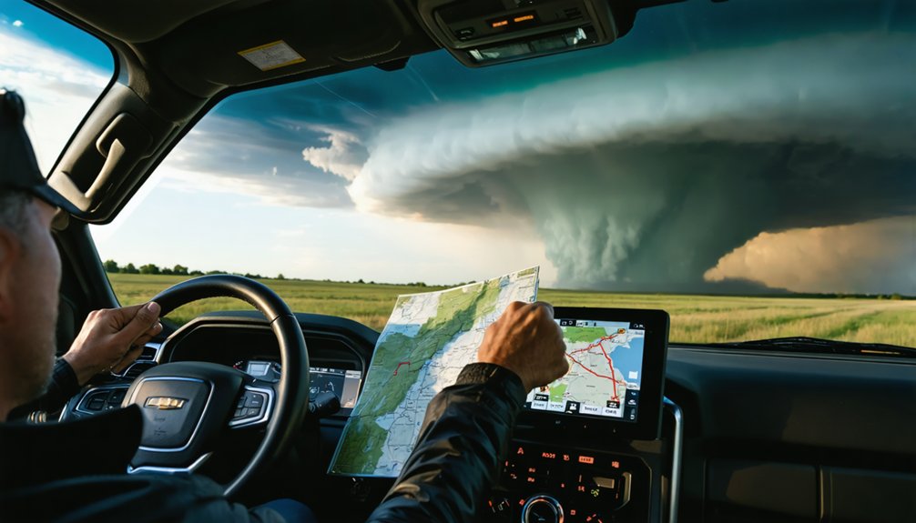
Good data gets you to the right target—but your route determines whether you get out safely. Weather pattern shifts are pushing storms into unfamiliar terrain, making pre-departure route study non-negotiable. Map every road before you arrive—not during the chase.
Good data puts you on target. Your route determines whether you make it home.
- Identify primary and secondary exit routes before entering the target area
- Flag single-bridge chokepoints and limited-exit corridors on your map
- Verify cell coverage gaps to maintain emergency communication throughout your operation
- Fuel before departure to eliminate stranding risk on remote roads
- Study local backroads so navigation doesn’t depend entirely on real-time data
Overpasses block evacuation paths—avoid them. Night chasing compounds every hazard listed above. Pre-planned exits keep your options open when storms accelerate or shift direction without warning.
Choose the Right Technology for Modern Storm Chasing
Modern storms demand modern tools—your technology stack directly determines how fast you can act on deteriorating conditions. Run CAMs like HRRR and NAM3K alongside high-resolution radar to track rapid intensification before it compresses your decision window.
AI driven hazard prediction now processes mesoscale data faster than manual analysis, giving you actionable targeting cues minutes earlier.
Advanced drone deployment extends your observational range without positioning your vehicle inside the damage path, reducing exposure while capturing ground-truth data.
Verify cell coverage maps before you enter the target area—connectivity gaps kill real-time feeds at the worst moments.
Maintain your equipment rigorously; harsher conditions degrade hardware faster than manufacturers anticipate. Your tools only protect you if they’re functional, calibrated, and integrated into a disciplined, pre-departure workflow.
Stay Safe When Storm Traffic Becomes the Real Threat
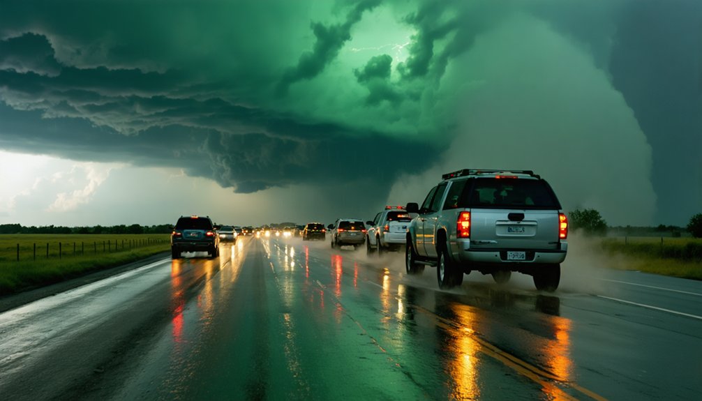
Traffic kills storm chasers more reliably than the storms themselves—all 16 storm-chasing fatalities recorded through May 2024 were driving-related, not meteorological. Storm safety depends on treating traffic hazards with the same analytical discipline you apply to mesoscale analysis.
Traffic doesn’t forgive distraction—16 storm-chasing deaths prove the road is deadlier than the storm.
When tornadoes approach congested roads, flying debris turns stalled vehicles into death traps.
Protect your operational freedom with these practices:
- Map escape routes before entering the target area
- Avoid overpasses—they block evacuation paths and offer no real protection
- Keep eyes on the road, not screens or cameras
- Pre-plan fuel stops to prevent remote strandings
- Monitor road networks for single-bridge chokepoints that eliminate exit options
Rapid storm intensification compresses your repositioning window. Disciplined driving decisions determine whether you chase another day.
The Habits That Keep Experienced Storm Chasers Alive
Avoiding driving fatalities clears one layer of risk, but experienced chasers stack additional habits that compound their survival margin across an entire season. You run SPC outlooks alongside HRRR-based predictive modeling every morning, updating your target as mesoscale conditions shift.
You verify cell coverage maps before entering remote areas, ensuring storm visualization tools stay live when you need them most. You pre-map escape routes, identify single-bridge chokepoints, and fuel before departure. You keep your eyes on the road, not your screen.
You report storm location, road number, and time to NWS operations, directly supporting warning accuracy. You work alongside mentors who’ve logged hundreds of chases.
Each habit independently reduces exposure; combined, they create a disciplined operational framework that sustains safe, productive chasing across a full season.
Frequently Asked Questions
Can Storm Chasing Be Done Safely Without Prior Professional Meteorology Training?
You can chase storms without formal training, but you’ll compromise weather prediction accuracy and storm chasing ethics. You must master SPC outlooks, radar interpretation, and escape routing—data-driven skills that directly determine your survival odds.
How Do Storm Chasers Typically Fund Their Equipment and Travel Expenses?
You’ll typically fund your storm chasing gear and travel through diverse funding sources: personal savings, university research grants, media contracts, crowdfunding, and sponsored documentation deals. Each option demands disciplined budgeting to sustain reliable, high-performance equipment across multiple chase seasons.
Are There Legal Permits Required to Chase Storms in Certain States?
You don’t need formal permit requirements in most U.S. states, but legal regulations vary locally. Check municipal codes, private land access rules, and road closure orders before you enter any target area.
How Does Storm Chasing Data Actually Get Shared With Official Weather Agencies?
You’ll share your storm data with agencies like NWS through collaboration platforms and data sharing protocols—reporting location, time, and road number directly supports warning operations, keeping information flowing freely between independent chasers and official forecasters.
What Physical Fitness or Health Considerations Matter for Storm Chasers?
You’re seconds from a fast-moving wedge—will your body hold up? Physical endurance and cardiovascular health determine your survival. You’ll need stamina for long drives, rapid repositioning, and split-second decisions when exhaustion clouds judgment dangerously.
References
- https://www.wiu.edu/SevereWeather/images/presentations/How_to_Effectively_Storm_Chase.pdf
- https://www.forbes.com/sites/jimclash/2026/05/21/storm-chasing-the-potential-killer-called-reckless-convergence/
- https://crazystormchasers.com/exploring-storm-chasing-and-climate-change-impacts/
- https://crazystormchasers.com/climate-change-and-the-future-challenges-for-storm-chasers/
- https://earthzine.org/storm-chasing-chaos-and-climate/
- https://crazystormchasers.com/preparing-for-climate-change-storm-chasers-mission-consequences/